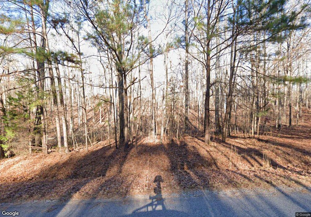
91 Boy Scout Rd Newnan, GA 30263
Estimated Value: $367,000 - $424,000
3
Beds
2
Baths
2,153
Sq Ft
$188/Sq Ft
Est. Value
About This Home
This home is located at 91 Boy Scout Rd, Newnan, GA 30263 and is currently estimated at $404,492, approximately $187 per square foot. 91 Boy Scout Rd is a home located in Coweta County with nearby schools including Ruth Hill Elementary School, Smokey Road Middle School, and Newnan High School.
Ownership History
Date
Name
Owned For
Owner Type
Purchase Details
Closed on
Mar 2, 2015
Sold by
Deling Bobbi R
Bought by
Deling Charles H and Deling Bobbi R
Current Estimated Value
Purchase Details
Closed on
Apr 8, 2005
Sold by
Newnan Nursery Inc
Bought by
Deling Bobbi R
Purchase Details
Closed on
Apr 3, 1992
Bought by
Newnan Nursery Inc
Purchase Details
Closed on
Mar 24, 1992
Bought by
Deling Charles H and Deling B
Purchase Details
Closed on
Jun 30, 1984
Bought by
Britzius Edward K
Create a Home Valuation Report for This Property
The Home Valuation Report is an in-depth analysis detailing your home's value as well as a comparison with similar homes in the area
Home Values in the Area
Average Home Value in this Area
Purchase History
| Date | Buyer | Sale Price | Title Company |
|---|---|---|---|
| Deling Charles H | -- | -- | |
| Deling Bobbi R | -- | -- | |
| Newnan Nursery Inc | -- | -- | |
| Deling Charles H | $30,000 | -- | |
| Britzius Edward K | $15,300 | -- |
Source: Public Records
Tax History Compared to Growth
Tax History
| Year | Tax Paid | Tax Assessment Tax Assessment Total Assessment is a certain percentage of the fair market value that is determined by local assessors to be the total taxable value of land and additions on the property. | Land | Improvement |
|---|---|---|---|---|
| 2024 | $2,834 | $126,699 | $36,527 | $90,172 |
| 2023 | $2,834 | $131,245 | $34,286 | $96,958 |
| 2022 | $2,424 | $103,102 | $30,613 | $72,489 |
| 2021 | $2,404 | $96,009 | $29,155 | $66,854 |
| 2020 | $2,419 | $96,009 | $29,155 | $66,854 |
| 2019 | $2,187 | $79,529 | $25,185 | $54,344 |
| 2018 | $2,192 | $79,529 | $25,185 | $54,344 |
| 2017 | $2,191 | $79,529 | $25,184 | $54,345 |
| 2016 | $2,167 | $79,529 | $25,185 | $54,344 |
| 2015 | $2,133 | $79,529 | $25,185 | $54,344 |
| 2014 | $2,118 | $79,529 | $25,185 | $54,344 |
Source: Public Records
Map
Nearby Homes
- 57 Scout Way
- 282 Sanders Davis Rd
- 378 Pierce Chapel Rd
- 2678 Highway 34 W
- 4398 Georgia 34
- 19 Quimby Jackson Rd
- 712 Boy Scout Rd
- 927 Boy Scout Rd
- 729 Bruce Jackson Rd
- 780 Bruce Jackson Rd
- 97 Welcome Wood Dr
- 2372 Welcome Rd
- 4059 Smokey Rd
- 617 Thomas Powers Rd
- 0 Mountain Creek Way Unit 10503086
- 15 Dixon Rd
- 731 Summers McKoy Rd
- 450 Mckoy Rd
- 2058 Welcome Rd
- 119 Mckoy Rd
- 145 Boy Scout Rd
- 167 Boy Scout Rd
- 140 Boy Scout Rd
- 94 Boy Scout Rd
- 44 Boy Scout Rd
- 160 Boy Scout Rd
- 229 Sanders Davis Rd
- 100 Boy Scout Rd
- 233 Boy Scout Rd
- 341 Sanders Davis Rd
- 363 Sanders-Davis Rd
- 308 Sanders Davis Rd
- 224 Boy Scout Rd
- 284 Sanders Davis Rd
- 310 Sanders Davis Rd
- 338 Sanders Davis Rd
- 260 Sanders Davis Rd
- 340 Sanders Davis Rd
- 274 Sanders Davis Rd
- 246 Sanders Davis Rd
