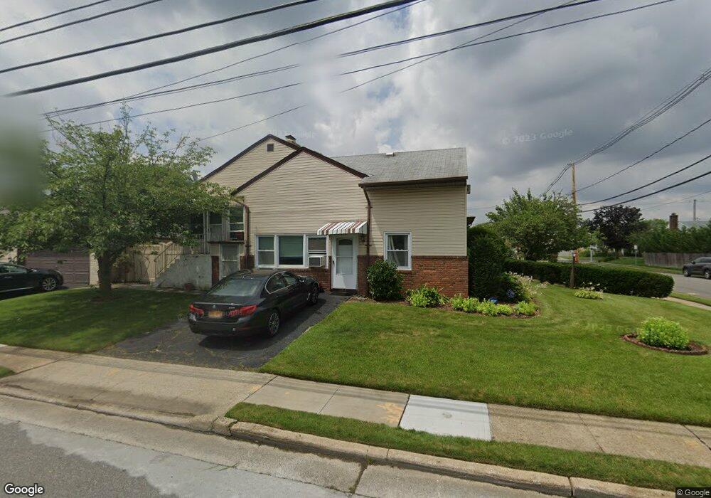
91 Cedar St Freeport, NY 11520
Estimated Value: $649,000 - $733,539
Studio
3
Baths
2,367
Sq Ft
$292/Sq Ft
Est. Value
About This Home
This home is located at 91 Cedar St, Freeport, NY 11520 and is currently estimated at $691,270, approximately $292 per square foot. 91 Cedar St is a home located in Nassau County with nearby schools including Columbus Avenue School, Caroline G. Atkinson Intermediate School, and John W Dodd Middle School.
Ownership History
Date
Name
Owned For
Owner Type
Purchase Details
Closed on
Jul 10, 2012
Sold by
Melito Thomas P and Albertuzzi Dolores M
Bought by
Harry Hewley S
Current Estimated Value
Home Financials for this Owner
Home Financials are based on the most recent Mortgage that was taken out on this home.
Original Mortgage
$284,900
Outstanding Balance
$201,977
Interest Rate
4.25%
Mortgage Type
FHA
Estimated Equity
$489,293
Purchase Details
Closed on
Sep 28, 2009
Sold by
Albertuzzi Dolores M and Melito Thomas P
Bought by
Melito Thomas P and Albertuzzi Dolores M
Purchase Details
Closed on
Jul 23, 1997
Create a Home Valuation Report for This Property
The Home Valuation Report is an in-depth analysis detailing your home's value as well as a comparison with similar homes in the area
Home Values in the Area
Average Home Value in this Area
Purchase History
| Date | Buyer | Sale Price | Title Company |
|---|---|---|---|
| Harry Hewley S | $350,000 | -- | |
| Melito Thomas P | -- | -- | |
| -- | -- | -- |
Source: Public Records
Mortgage History
| Date | Status | Borrower | Loan Amount |
|---|---|---|---|
| Open | Harry Hewley S | $284,900 |
Source: Public Records
Tax History
| Year | Tax Paid | Tax Assessment Tax Assessment Total Assessment is a certain percentage of the fair market value that is determined by local assessors to be the total taxable value of land and additions on the property. | Land | Improvement |
|---|---|---|---|---|
| 2025 | $11,126 | $516 | $218 | $298 |
| 2024 | $1,120 | $516 | $218 | $298 |
Source: Public Records
Map
Nearby Homes
- 265 Roosevelt Ave
- 267 Roosevelt Ave
- 119 S Bay Ave
- 310 Miller Ave
- 173 Cedar St
- 494 S Ocean Ave Unit 1M
- 494 S Ocean Ave Unit 1H
- 494 S Ocean Ave Unit 3A
- 322 Miller Ave
- 48 Saint Marks Ave
- 208 Sportsmans Ave
- 177 Sportsmans Ave
- 160 Saint Marks Ave
- 120 Sportsmans Ave
- 403 S Bayview Ave
- 254 Arthur St
- 463 S Bayview Ave
- 251 Arthur St
- 159 Southside Ave
- 280 Guy Lombardo Ave Unit 2H
- 112 Nassau Ave
- 449 S Long Beach Ave
- 116 Nassau Ave
- 453 S Long Beach Ave
- 105 Nassau Ave
- 90 Cedar St
- 101 Nassau Ave
- 459 S Long Beach Ave
- 107 Nassau Ave
- 441 S Long Beach Ave
- 91 Nassau Ave
- 109 Nassau Ave
- 109 Nassau Ave
- 120 Nassau Ave
- 0 S Long Beach Ave Unit 3223508
- 0 S Long Beach Ave Unit 3103526
- 0 S Long Beach Ave Unit 3148966
- 463 S Long Beach Ave
- 90 Nassau Ave
- 115 Nassau Ave
Your Personal Tour Guide
Ask me questions while you tour the home.