Estimated Value: $1,142,653 - $1,318,000
5
Beds
4
Baths
3,613
Sq Ft
$345/Sq Ft
Est. Value
About This Home
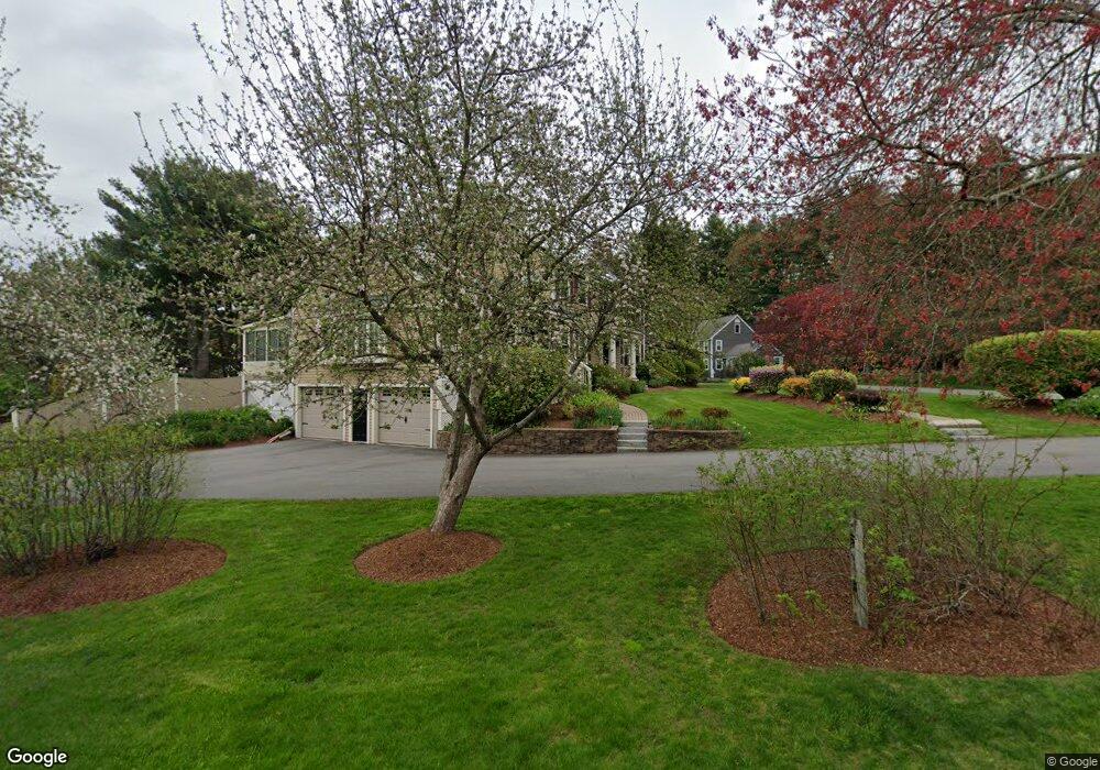
This home is located at 91 Charter Rd, Acton, MA 01720 and is currently estimated at $1,247,913, approximately $345 per square foot. 91 Charter Rd is a home located in Middlesex County with nearby schools including Acton-Boxborough Regional High School.
Ownership History
Date
Name
Owned For
Owner Type
Purchase Details
Closed on
Nov 4, 2019
Sold by
Mckinley Julianne and Mckinley Gareth H
Bought by
Mckinley 2019 Funding T
Current Estimated Value
Purchase Details
Closed on
Jan 22, 1999
Sold by
Hunt Raymond G and Hunt Susan L
Bought by
Mckinley Julianne and Mckinley Gareth H
Create a Home Valuation Report for This Property
The Home Valuation Report is an in-depth analysis detailing your home's value as well as a comparison with similar homes in the area
Home Values in the Area
Average Home Value in this Area
Purchase History
| Date | Buyer | Sale Price | Title Company |
|---|---|---|---|
| Mckinley 2019 Funding T | -- | -- | |
| Mckinley Julianne | $435,000 | -- |
Source: Public Records
Mortgage History
| Date | Status | Borrower | Loan Amount |
|---|---|---|---|
| Previous Owner | Mckinley Julianne | $386,100 | |
| Previous Owner | Mckinley Julianne | $15,000 |
Source: Public Records
Tax History
| Year | Tax Paid | Tax Assessment Tax Assessment Total Assessment is a certain percentage of the fair market value that is determined by local assessors to be the total taxable value of land and additions on the property. | Land | Improvement |
|---|---|---|---|---|
| 2025 | $16,625 | $969,400 | $328,000 | $641,400 |
| 2024 | $15,490 | $929,200 | $328,000 | $601,200 |
| 2023 | $15,556 | $885,900 | $298,000 | $587,900 |
| 2022 | $14,714 | $756,500 | $259,100 | $497,400 |
| 2021 | $14,394 | $711,500 | $239,900 | $471,600 |
| 2020 | $13,564 | $705,000 | $239,900 | $465,100 |
| 2019 | $13,464 | $695,100 | $239,900 | $455,200 |
| 2018 | $13,200 | $681,100 | $239,900 | $441,200 |
| 2017 | $12,846 | $674,000 | $239,900 | $434,100 |
| 2016 | $12,544 | $652,300 | $239,900 | $412,400 |
| 2015 | $12,594 | $661,100 | $239,900 | $421,200 |
| 2014 | $12,078 | $621,000 | $239,900 | $381,100 |
Source: Public Records
Map
Nearby Homes
- 79 Charter Rd
- 5 Perkins Ln
- 20 Joseph Reed Ln
- 96 Newtown Rd
- 18 Hayward Rd
- 60 Nashoba Rd
- 11 Braebrook
- 235 Arlington St
- 4 Littlefield Rd
- 246 Main St Unit 2
- 7 Kelley Rd
- 33 Meadowbrook Rd
- 46 Taylor Rd
- 631 Massachusetts Ave Unit 631
- 491 Main St
- 184 Main St Unit 3
- 524 Main St
- 27 Forest Rd
- 709 Main St
- 92 Willow St Unit 3
Your Personal Tour Guide
Ask me questions while you tour the home.