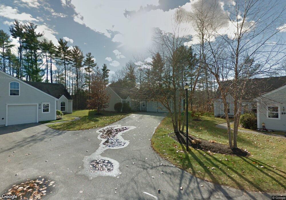
91 Cumberland Ln Gorham, ME 04038
Estimated Value: $394,929 - $441,000
2
Beds
2
Baths
1,324
Sq Ft
$318/Sq Ft
Est. Value
About This Home
This home is located at 91 Cumberland Ln, Gorham, ME 04038 and is currently estimated at $421,232, approximately $318 per square foot. 91 Cumberland Ln is a home located in Cumberland County with nearby schools including Narragansett Elementary School, Gorham Middle School, and Gorham High School.
Ownership History
Date
Name
Owned For
Owner Type
Purchase Details
Closed on
Aug 27, 2025
Sold by
Leone Todd W
Bought by
Leone Todd W and Leone Ave T
Current Estimated Value
Purchase Details
Closed on
Jun 3, 2013
Sold by
Stanley Edwin C Est and Stanley
Bought by
Gile Jan
Purchase Details
Closed on
Aug 21, 2007
Sold by
Macvane Virginia M
Bought by
Stanley Edwin
Home Financials for this Owner
Home Financials are based on the most recent Mortgage that was taken out on this home.
Original Mortgage
$220,000
Interest Rate
6.71%
Mortgage Type
Unknown
Create a Home Valuation Report for This Property
The Home Valuation Report is an in-depth analysis detailing your home's value as well as a comparison with similar homes in the area
Home Values in the Area
Average Home Value in this Area
Purchase History
We collect this data history from publicly available records. To have your information removed, we recommend requesting removal directly through your county’s website.
| Date | Buyer | Sale Price | Title Company |
|---|---|---|---|
| Leone Todd W | -- | -- | |
| Leone Todd W | -- | -- | |
| Gile Jan | -- | -- | |
| Gile Jan | -- | -- | |
| Gile Jan | -- | -- | |
| Stanley Edwin | -- | -- | |
| Stanley Edwin | -- | -- |
Source: Public Records
Mortgage History
We collect this data history from publicly available records. To have your information removed, we recommend requesting removal directly through your county’s website.
| Date | Status | Borrower | Loan Amount |
|---|---|---|---|
| Previous Owner | Stanley Edwin | $220,000 | |
| Previous Owner | Stanley Edwin | $130,000 |
Source: Public Records
Tax History
| Year | Tax Paid | Tax Assessment Tax Assessment Total Assessment is a certain percentage of the fair market value that is determined by local assessors to be the total taxable value of land and additions on the property. | Land | Improvement |
|---|---|---|---|---|
| 2025 | $3,935 | $265,900 | $32,300 | $233,600 |
| 2024 | $3,909 | $265,900 | $32,300 | $233,600 |
| 2023 | $3,656 | $265,900 | $32,300 | $233,600 |
| 2022 | $3,417 | $265,900 | $32,300 | $233,600 |
| 2021 | $3,166 | $163,200 | $83,200 | $80,000 |
| 2020 | $3,101 | $163,200 | $83,200 | $80,000 |
| 2019 | $3,093 | $163,200 | $83,200 | $80,000 |
| 2018 | $2,970 | $163,200 | $83,200 | $80,000 |
| 2017 | $2,791 | $163,200 | $83,200 | $80,000 |
| 2016 | $2,774 | $163,200 | $83,200 | $80,000 |
| 2015 | $2,660 | $163,200 | $83,200 | $80,000 |
| 2014 | $2,612 | $150,100 | $65,300 | $84,800 |
| 2013 | $2,597 | $150,100 | $65,300 | $84,800 |
Source: Public Records
Map
Nearby Homes
- 36 Meadowbrook Dr Unit 2
- 20 Joseph Dr
- 11 Carnation Dr
- 27 Town Common
- 25 Patio Park Ln
- 12 Natalee Dr Unit 16
- 20 Willowdale Dr
- 32 Lawn Ave
- 84 Johnson Rd
- 25 Lochwood Dr
- 45 Lochwood Dr
- 49 Lochwood Dr
- 21 Lochwood Dr
- 41 Lochwood Dr
- 14 Hillview Rd
- 32 Wagner Farm Rd
- 10 Elm St
- 29 Baxter Ln Unit 8
- 49 Harts Way
- 86 Gateway Commons Dr
- 85 Cumberland Ln
- 85 Cumberland Ln Unit 30
- 83 Cumberland Ln
- 83 Cumberland Ln Unit 83
- 83 Cumberland Ln Unit 32-5
- 87 Cumberland Ln
- 87 Cumberland Rid
- 89 Cumberland Ln
- 89 Cumberland Ln Unit 89
- 79 Cumberland Ln
- 77 Cumberland Ln
- 75 Cumberland Ln
- 75 Cumberland Ln Unit 2
- 91 Cumberland Ln Unit 13
- 73 Cumberland Ln
- 93 Cumberland Ln
- 95 Cumberland Ln
- 95 Cumberland Ln Unit 95
- 95 Cumberland Ln Unit 11
- 68 Cumberland Ln
Your Personal Tour Guide
Ask me questions while you tour the home.