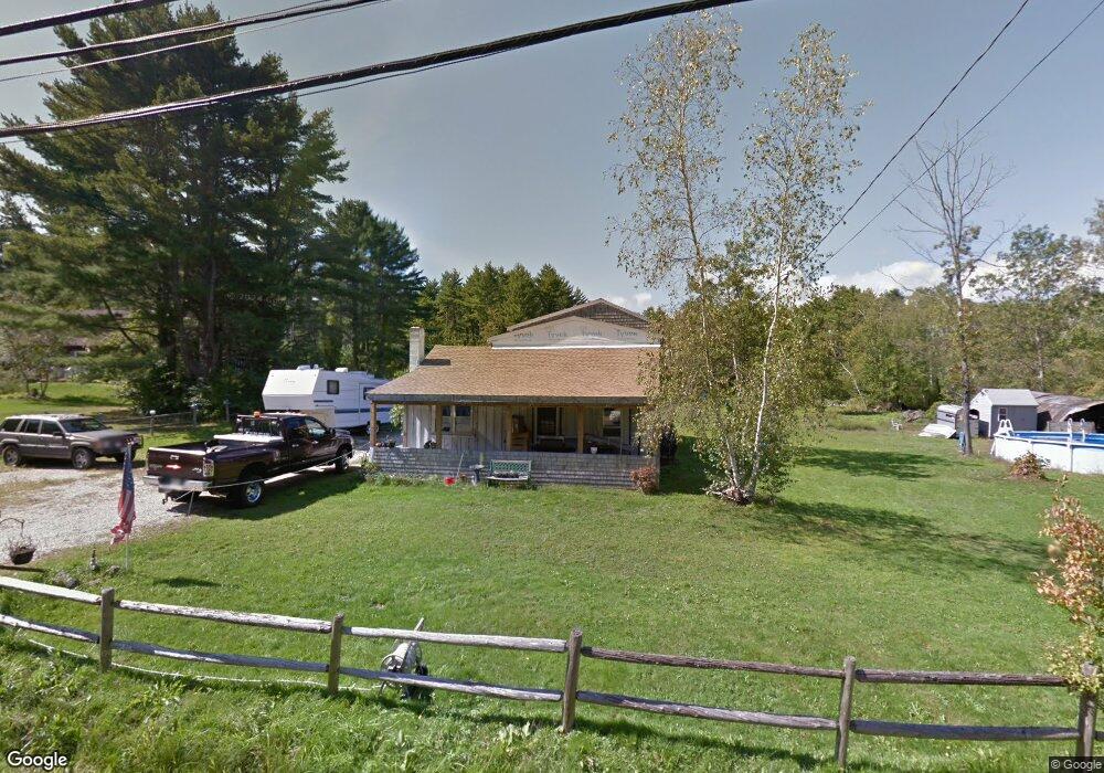
91 Depot Rd Eliot, ME 03903
South Eliot NeighborhoodEstimated Value: $527,000 - $718,000
3
Beds
2
Baths
1,794
Sq Ft
$331/Sq Ft
Est. Value
About This Home
This home is located at 91 Depot Rd, Eliot, ME 03903 and is currently estimated at $594,244, approximately $331 per square foot. 91 Depot Rd is a home located in York County with nearby schools including Marshwood High School and Seacoast Waldorf School.
Create a Home Valuation Report for This Property
The Home Valuation Report is an in-depth analysis detailing your home's value as well as a comparison with similar homes in the area
Home Values in the Area
Average Home Value in this Area
Tax History
| Year | Tax Paid | Tax Assessment Tax Assessment Total Assessment is a certain percentage of the fair market value that is determined by local assessors to be the total taxable value of land and additions on the property. | Land | Improvement |
|---|---|---|---|---|
| 2024 | $4,169 | $351,800 | $142,400 | $209,400 |
| 2023 | $4,016 | $327,800 | $136,000 | $191,800 |
| 2022 | $3,853 | $318,400 | $136,000 | $182,400 |
| 2021 | $3,720 | $299,300 | $125,400 | $173,900 |
| 2020 | $4,148 | $282,200 | $120,000 | $162,200 |
| 2019 | $4,089 | $282,200 | $120,000 | $162,200 |
| 2018 | $3,917 | $282,200 | $120,000 | $162,200 |
| 2017 | $3,808 | $282,200 | $120,000 | $162,200 |
| 2016 | $3,965 | $282,200 | $120,000 | $162,200 |
| 2015 | $3,951 | $282,200 | $120,000 | $162,200 |
| 2014 | $3,894 | $282,200 | $120,000 | $162,200 |
| 2013 | $3,840 | $291,600 | $120,000 | $171,600 |
Source: Public Records
Map
Nearby Homes
- 1708 State Rd
- 18 Governor Hill Rd
- 10 Pasture Hill Dr
- Lot 2 Cedar Tbd
- 25 Heritage Dr
- 708 River Rd Unit 2
- 708 River Rd Unit 3
- 25 Fosters Dr
- 116 Heron Cove Rd
- Slip B18 Little Bay
- 0 Cote Dr Unit 55B
- 348 Dover Point Rd
- 354 Dover Point Rd
- 0 Franks Fort Island Unit 1650383
- 18 Little Bay Dr
- 18 Deborah Ln
- 41 Clearwater Dr
- 1128 State Rd
- 62 Village Dr Unit 62
- 8 Caslyn Dr
Your Personal Tour Guide
Ask me questions while you tour the home.