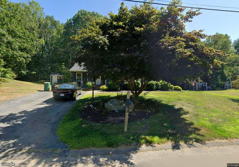
91 Donald Tennant Cir North Attleboro, MA 02760
North Attleboro NeighborhoodEstimated Value: $643,000 - $675,000
3
Beds
2
Baths
1,966
Sq Ft
$334/Sq Ft
Est. Value
About This Home
This home is located at 91 Donald Tennant Cir, North Attleboro, MA 02760 and is currently estimated at $657,466, approximately $334 per square foot. 91 Donald Tennant Cir is a home located in Bristol County with nearby schools including North Attleboro High School, Cadence Academy Preschool - North Attleborough, and Bishop Feehan High School.
Ownership History
Date
Name
Owned For
Owner Type
Purchase Details
Closed on
Sep 27, 2022
Sold by
Anderson Robert E and Anderson Cynthia A
Bought by
Anderson Irt
Current Estimated Value
Purchase Details
Closed on
Jan 1, 1983
Bought by
Anderson Robert E and Anderson Cynthia
Create a Home Valuation Report for This Property
The Home Valuation Report is an in-depth analysis detailing your home's value as well as a comparison with similar homes in the area
Home Values in the Area
Average Home Value in this Area
Purchase History
| Date | Buyer | Sale Price | Title Company |
|---|---|---|---|
| Anderson Irt | -- | None Available | |
| Anderson Robert E | -- | -- |
Source: Public Records
Mortgage History
| Date | Status | Borrower | Loan Amount |
|---|---|---|---|
| Previous Owner | Anderson Robert E | $20,000 | |
| Previous Owner | Anderson Robert E | $73,000 | |
| Previous Owner | Anderson Robert E | $70,000 |
Source: Public Records
Tax History Compared to Growth
Tax History
| Year | Tax Paid | Tax Assessment Tax Assessment Total Assessment is a certain percentage of the fair market value that is determined by local assessors to be the total taxable value of land and additions on the property. | Land | Improvement |
|---|---|---|---|---|
| 2025 | $6,014 | $510,100 | $145,800 | $364,300 |
| 2024 | $5,987 | $518,800 | $145,800 | $373,000 |
| 2023 | $5,649 | $441,700 | $145,800 | $295,900 |
| 2022 | $5,394 | $387,200 | $145,800 | $241,400 |
| 2021 | $5,410 | $379,100 | $145,800 | $233,300 |
| 2020 | $5,344 | $372,400 | $145,800 | $226,600 |
| 2019 | $5,196 | $364,900 | $132,600 | $232,300 |
| 2018 | $4,686 | $351,300 | $132,600 | $218,700 |
| 2017 | $4,644 | $351,300 | $132,600 | $218,700 |
| 2016 | $4,538 | $343,300 | $147,300 | $196,000 |
| 2015 | $4,359 | $331,700 | $147,300 | $184,400 |
| 2014 | $4,152 | $313,600 | $129,200 | $184,400 |
Source: Public Records
Map
Nearby Homes
- 196 Donald Tennant Cir
- 115 Westfield Dr
- 11 Landry Ave
- 11 Buckthorn Ln
- 57 Vine St
- 255 Mckeon Dr
- Lot 2 Jeffrey Dr
- Lot 5 Jeffrey Dr
- 116 George St
- 5 Old Wood Rd
- 150 Gilbert St
- 546 Towne St
- 24 Maverick Dr
- 12 Houde St
- 40 Natalie Dr
- 20 Sperry Ln
- 21 Shady Ln
- 835 Mt Hope St Unit 39
- 28 Messenger St
- 9 Sunnyside Dr Unit 9
- 85 Donald Tennant Cir
- 103 Donald Tennant Cir
- 90 Donald Tennant Cir
- 73 Donald Tennant Cir
- 84 Donald Tennant Cir
- 98 Donald Tennant Cir
- 109 Donald Tennant Cir
- 32 Indian Trail
- 70 Donald Tennant Cir
- 119 Donald Tennant Cir
- 53 Donald Tennant Cir
- 104 Donald Tennant Cir
- 66 Donald Tennant Cir
- 56 Donald Tennant Cir
- 125 Donald Tennant Cir
- 47 Donald Tennant Cir
- 48 Donald Tennant Cir
- 11 Indian Trail
- 21 Indian Trail
- 35 Indian Trail