91 Dusty Ln Bellvue, CO 80512
Estimated Value: $524,000 - $800,000
4
Beds
2
Baths
2,052
Sq Ft
$318/Sq Ft
Est. Value
About This Home
This home is located at 91 Dusty Ln, Bellvue, CO 80512 and is currently estimated at $652,548, approximately $318 per square foot. 91 Dusty Ln is a home located in Larimer County with nearby schools including Cache La Poudre Elementary School, Cache La Poudre Middle School, and Poudre High School.
Ownership History
Date
Name
Owned For
Owner Type
Purchase Details
Closed on
Sep 13, 2024
Sold by
Edelen Gary B and Edelen Rosemary W
Bought by
Edelen Gary B and Edelen Rosemary W
Current Estimated Value
Purchase Details
Closed on
Oct 21, 2002
Sold by
Edelen Gary B
Bought by
Edelen Gary B and Edelen Rosemary W
Purchase Details
Closed on
Apr 1, 1995
Sold by
Edelen Tawana M
Bought by
Edelen Gary B
Purchase Details
Closed on
Nov 1, 1992
Sold by
Iiams L Genella
Bought by
Edelen Gary B
Create a Home Valuation Report for This Property
The Home Valuation Report is an in-depth analysis detailing your home's value as well as a comparison with similar homes in the area
Purchase History
| Date | Buyer | Sale Price | Title Company |
|---|---|---|---|
| Edelen Gary B | -- | None Listed On Document | |
| Edelen Gary B | -- | -- | |
| Edelen Gary B | -- | -- | |
| Edelen Gary B | $139,000 | -- |
Source: Public Records
Tax History
| Year | Tax Paid | Tax Assessment Tax Assessment Total Assessment is a certain percentage of the fair market value that is determined by local assessors to be the total taxable value of land and additions on the property. | Land | Improvement |
|---|---|---|---|---|
| 2025 | $21 | $588 | -- | $588 |
| 2024 | $21 | $456 | $2,546 | $456 |
| 2021 | $2,342 | $32,390 | $2,717 | $29,673 |
| 2020 | $1,719 | $25,361 | $2,717 | $22,644 |
| 2019 | $1,727 | $25,361 | $2,717 | $22,644 |
| 2018 | $1,423 | $22,680 | $2,736 | $19,944 |
| 2017 | $1,418 | $22,680 | $2,736 | $19,944 |
| 2016 | $1,353 | $22,654 | $3,025 | $19,629 |
| 2015 | $1,343 | $180 | $0 | $180 |
| 2014 | $15 | $160 | $0 | $160 |
Source: Public Records
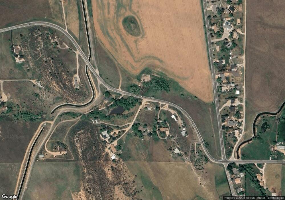
Map
Nearby Homes
- 3501 Raptor Ridge Ln
- 3501 Galway Dr
- 4442 Del Colina Way
- 2912 Killarney Dr
- 3309 Buckskin Trail
- 4516 Bingham Hill Rd
- 4013 Shannon Dr
- 3328 Mcconnell Dr
- 6109 US Highway 287
- 898 Hernia Hill Trail
- 813 Hernia Hill Trail
- 498 Helms Deep Rd
- 654 Hernia Hill Trail
- 4318 Green Mile Dr
- 100 Canyon Gulch Rd
- 0 Pine Acres Way Unit 1045910
- 3421 Vernon Dr
- 296 Ridge Row Dr
- 1600 Whale Rock Rd
- 3003 West Ave
- 5741 W County Road 52 E
- 5829 Rist Canyon Rd
- 70 Dusty Ln
- 5835 Rist Canyon Rd
- 5725 Rist Canyon Rd
- 5909 Rist Canyon Rd
- 5701 Rist Canyon Rd
- 5629 Rist Canyon Rd
- 5633 W County Road 52 E
- 6033 Rist Canyon Rd
- 6001 Rist Canyon Rd
- 1 County Road 54 Hwy
- 6005 Rist Canyon Rd
- 3008 N County Road 25 E
- 3000 N County Road 25 E
- 3016 N Co Road 25e
- 3024 N County Road 25 E
- 3016 N County Road 25 E
- 5609 Rist Canyon Rd
- 3100 N County Road 25 E
Your Personal Tour Guide
Ask me questions while you tour the home.