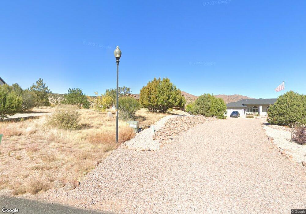
91 Eagle Crest Loop Cañon City, CO 81212
Estimated Value: $543,699 - $704,000
3
Beds
2
Baths
3,700
Sq Ft
$170/Sq Ft
Est. Value
About This Home
This home is located at 91 Eagle Crest Loop, Cañon City, CO 81212 and is currently estimated at $628,425, approximately $169 per square foot. 91 Eagle Crest Loop is a home located in Fremont County with nearby schools including Lincoln School of Science & Technology, Canon City Middle School, and Canon City High School.
Ownership History
Date
Name
Owned For
Owner Type
Purchase Details
Closed on
Aug 17, 2006
Sold by
D Snyder Construction Inc
Bought by
Smeins John W and Smeins Melissa J
Current Estimated Value
Home Financials for this Owner
Home Financials are based on the most recent Mortgage that was taken out on this home.
Original Mortgage
$190,000
Outstanding Balance
$111,147
Interest Rate
6.77%
Mortgage Type
New Conventional
Estimated Equity
$517,278
Purchase Details
Closed on
Mar 13, 2006
Sold by
Smeins John W and Smeins Melissa J
Bought by
Snyder Construction Inc
Create a Home Valuation Report for This Property
The Home Valuation Report is an in-depth analysis detailing your home's value as well as a comparison with similar homes in the area
Tax History
| Year | Tax Paid | Tax Assessment Tax Assessment Total Assessment is a certain percentage of the fair market value that is determined by local assessors to be the total taxable value of land and additions on the property. | Land | Improvement |
|---|---|---|---|---|
| 2025 | $2,849 | $32,670 | $0 | $0 |
Source: Public Records
Map
Nearby Homes
- 156 Osprey Ct
- 156 S Osprey Ct
- 140 N Osprey Ct
- 124 Eagle Crest Loop
- 68 Wild Rose Ct
- 137 Wild Rose Dr
- 135 Wild Rose Dr
- 131 Wild Rose Dr
- 123 Wild Rose Dr
- 46 Fox Run Ct
- 304 Storm Ridge Dr
- 129 Mourning Dove Dr
- 29 Kyndra Ct
- TBD Wild Rose Dr
- 133 Blue Grouse Dr
- 333 Storm Ridge Dr
- 24 Pike View Dr
- 507 Greenhorn Dr
- 212 Wolf Cub Trail
- 206 Wolf Cub Trail
- 89 Eagle Crest Loop
- 93 Eagle Crest Loop
- 95 Eagle Crest Loop
- 84 Eagle Crest Loop
- 84 Eagle Crest Loop Unit 56
- 97 Eagle Crest Loop
- 82 Eagle Crest Loop
- 81 Eagle Crest Loop Unit na
- 81 Eagle Crest Loop
- 98 Eagle Crest Loop
- 155 Osprey Ct
- 155 Osprey Ct Unit 60
- 96 Eagle Crest Loop Unit 55
- 96 Eagle Crest Loop
- 145 Osprey Ct
- 145 Osprey Ct Unit 19
- 153 S Osprey Ct
- 153 S Osprey Ct Unit 59
- 151 Osprey Ct
- 101 Eagle Crest Loop
Your Personal Tour Guide
Ask me questions while you tour the home.