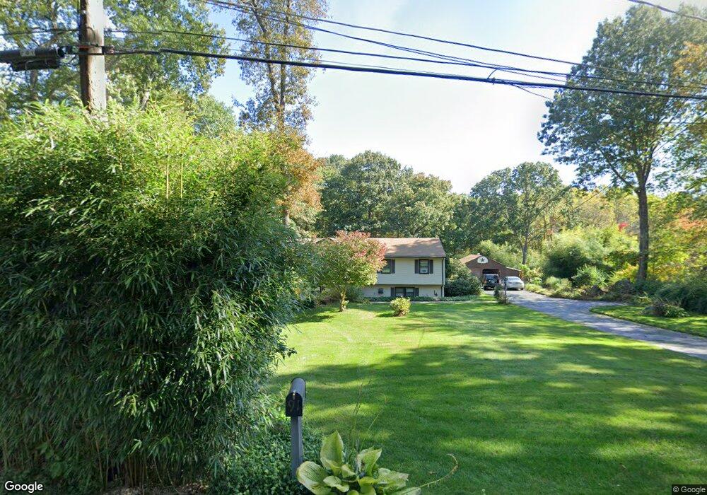
91 Finch Rd Wolcott, CT 06716
Estimated Value: $424,000 - $474,000
3
Beds
2
Baths
1,288
Sq Ft
$347/Sq Ft
Est. Value
About This Home
This home is located at 91 Finch Rd, Wolcott, CT 06716 and is currently estimated at $446,505, approximately $346 per square foot. 91 Finch Rd is a home located in New Haven County with nearby schools including Tyrrell Middle School, Wolcott High School, and St Peter & Paul School.
Ownership History
Date
Name
Owned For
Owner Type
Purchase Details
Closed on
Jun 13, 2025
Sold by
Munro Stephen G and Munro Vicki A
Bought by
Stephen G W Munroe Lt and Munro
Current Estimated Value
Purchase Details
Closed on
May 23, 2000
Sold by
Farrar Gary F and Farrar Mary S
Bought by
Munro Stephen Gw
Home Financials for this Owner
Home Financials are based on the most recent Mortgage that was taken out on this home.
Original Mortgage
$138,300
Interest Rate
8.19%
Create a Home Valuation Report for This Property
The Home Valuation Report is an in-depth analysis detailing your home's value as well as a comparison with similar homes in the area
Home Values in the Area
Average Home Value in this Area
Purchase History
| Date | Buyer | Sale Price | Title Company |
|---|---|---|---|
| Stephen G W Munroe Lt | -- | -- | |
| Munro Stephen Gw | $172,900 | -- | |
| Munro Stephen Gw | $172,900 | -- |
Source: Public Records
Mortgage History
| Date | Status | Borrower | Loan Amount |
|---|---|---|---|
| Previous Owner | Munro Stephen Gw | $138,300 | |
| Previous Owner | Munro Stephen Gw | $85,000 |
Source: Public Records
Tax History Compared to Growth
Tax History
| Year | Tax Paid | Tax Assessment Tax Assessment Total Assessment is a certain percentage of the fair market value that is determined by local assessors to be the total taxable value of land and additions on the property. | Land | Improvement |
|---|---|---|---|---|
| 2025 | $7,140 | $198,720 | $62,030 | $136,690 |
| 2024 | $6,572 | $198,720 | $62,030 | $136,690 |
| 2023 | $6,333 | $198,720 | $62,030 | $136,690 |
| 2022 | $6,121 | $198,720 | $62,030 | $136,690 |
| 2021 | $5,806 | $175,210 | $59,230 | $115,980 |
| 2020 | $5,806 | $175,210 | $59,230 | $115,980 |
| 2019 | $5,806 | $175,210 | $59,230 | $115,980 |
| 2018 | $5,642 | $175,210 | $59,230 | $115,980 |
| 2017 | $5,479 | $175,210 | $59,230 | $115,980 |
| 2016 | $5,324 | $184,150 | $63,590 | $120,560 |
| 2015 | $5,171 | $184,150 | $63,590 | $120,560 |
| 2014 | $5,003 | $184,150 | $63,590 | $120,560 |
Source: Public Records
Map
Nearby Homes
- 3 Pimlico Rd
- 7 Pimlico Rd
- 47 Finch Rd
- 374 Beth Ln
- 286 Beth Ln Unit 16
- 44 Knollwood Dr
- 322 Beth Ln
- 186 Windy Dr
- 0 Arvida Rd Unit 24054898
- 59 Forest Ln
- 24 Sharon Rd Unit 3
- 11 Batesmoor Rd
- 36 Sharon Rd Unit 9
- 48 Cheryl Jane Dr
- 283 Courtland Ave
- 20 Blue Trail Dr
- 9 Bouffard Ave
- 0 Woodtick Rd Unit 24119429
- 22 Irene Ave
- 80 Oldham Ave