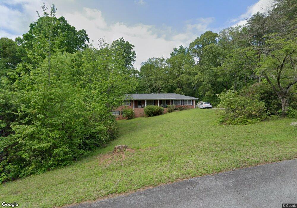
91 Forrest Cir Whitesburg, GA 30185
Estimated Value: $295,000 - $322,918
3
Beds
2
Baths
1,953
Sq Ft
$161/Sq Ft
Est. Value
About This Home
This home is located at 91 Forrest Cir, Whitesburg, GA 30185 and is currently estimated at $314,980, approximately $161 per square foot. 91 Forrest Cir is a home located in Carroll County with nearby schools including Whitesburg Elementary School, Central Middle School, and Central High School.
Ownership History
Date
Name
Owned For
Owner Type
Purchase Details
Closed on
Jul 6, 2002
Sold by
Hansen Gay L
Bought by
Hansen Gay L
Current Estimated Value
Purchase Details
Closed on
Jun 7, 2002
Sold by
Sammon John M
Bought by
Hansen Gay L
Purchase Details
Closed on
Apr 30, 2002
Sold by
Hansen Gay L
Bought by
Hansen Gay L
Purchase Details
Closed on
Apr 17, 2002
Sold by
Mayfield Walter & Re
Bought by
Sammon John M
Purchase Details
Closed on
Aug 1, 1972
Bought by
Mayfield Walter & Re
Create a Home Valuation Report for This Property
The Home Valuation Report is an in-depth analysis detailing your home's value as well as a comparison with similar homes in the area
Home Values in the Area
Average Home Value in this Area
Purchase History
| Date | Buyer | Sale Price | Title Company |
|---|---|---|---|
| Hansen Gay L | -- | -- | |
| Hansen Gay L | $117,500 | -- | |
| Hansen Gay L | -- | -- | |
| Sammon John M | $120,000 | -- | |
| Mayfield Walter & Re | -- | -- |
Source: Public Records
Tax History Compared to Growth
Tax History
| Year | Tax Paid | Tax Assessment Tax Assessment Total Assessment is a certain percentage of the fair market value that is determined by local assessors to be the total taxable value of land and additions on the property. | Land | Improvement |
|---|---|---|---|---|
| 2024 | $993 | $113,465 | $19,200 | $94,265 |
| 2023 | $1,115 | $105,044 | $19,200 | $85,844 |
| 2022 | $949 | $87,853 | $19,200 | $68,653 |
| 2021 | $2,590 | $77,993 | $19,200 | $58,793 |
| 2020 | $2,418 | $72,760 | $19,200 | $53,560 |
| 2019 | $842 | $69,205 | $19,200 | $50,005 |
| 2018 | $840 | $64,527 | $19,200 | $45,327 |
| 2017 | $851 | $64,527 | $19,200 | $45,327 |
| 2016 | $852 | $64,527 | $19,200 | $45,327 |
| 2015 | $738 | $48,334 | $11,568 | $36,766 |
| 2014 | $741 | $48,334 | $11,568 | $36,766 |
Source: Public Records
Map
Nearby Homes
- 688 Main St
- 252 Moore St
- 0 Georgia 5 Unit 105 147845
- 0 Georgia 5 Unit 10539047
- 109 Landon Dr
- 0 Georgia 16
- 258 Big Oak Rd
- 15 Bailey St
- 439 Old Jones Rd
- 0 TRACT 2 Little New York Rd
- 40 Coral Dr
- 226 Long Island Dr
- 61 Coral Dr
- 2241 Georgia 16
- 218 Jim Carmichael Rd
- 46 Stapler Rd
- 46 Helen Ct
- 840 Old Driver Rd
- 255 Sally Duke Dr
- 248 Sally Duke Dr
- 105 Forrest Cir
- 105 Forrest Cir
- 70 Forrest Cir
- 123 Forrest Cir
- 47 Forrest Cir
- 133 Forrest Cir
- 28 Forrest Cir
- 195 Moore St
- 217 Moore St
- 133 College St
- 173 Moore St
- 91 White Oak St
- 91 White Oak St Unit 5
- 0 White Oak St Unit 7255532
- 0 White Oak St Unit 7080819
- 0 White Oak St Unit 2 [ONE ACRE]
- 0 White Oak St Unit 3 [ONE ACRE]
- 0 White Oak St
- 235 Moore St
- 23 Forrest Cir