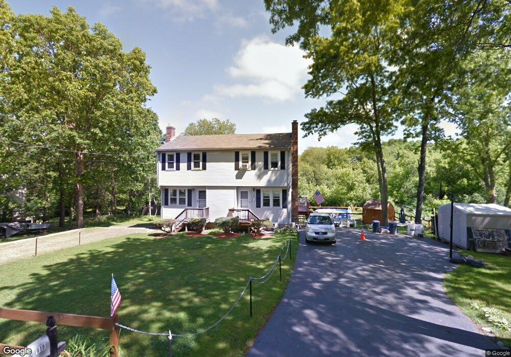
91 Harkness Rd Unit B Millville, MA 01529
Estimated Value: $225,000 - $293,000
2
Beds
2
Baths
912
Sq Ft
$290/Sq Ft
Est. Value
About This Home
This home is located at 91 Harkness Rd Unit B, Millville, MA 01529 and is currently estimated at $264,421, approximately $289 per square foot. 91 Harkness Rd Unit B is a home located in Worcester County with nearby schools including Blackstone-Millville Regional High School.
Ownership History
Date
Name
Owned For
Owner Type
Purchase Details
Closed on
Nov 1, 2001
Sold by
Eilertson Alan W and Eilertson Marianne M
Bought by
Pontonio Dennis J and Pontonio Patricia A
Current Estimated Value
Home Financials for this Owner
Home Financials are based on the most recent Mortgage that was taken out on this home.
Original Mortgage
$104,500
Interest Rate
6.82%
Mortgage Type
Purchase Money Mortgage
Create a Home Valuation Report for This Property
The Home Valuation Report is an in-depth analysis detailing your home's value as well as a comparison with similar homes in the area
Home Values in the Area
Average Home Value in this Area
Purchase History
| Date | Buyer | Sale Price | Title Company |
|---|---|---|---|
| Pontonio Dennis J | $110,000 | -- |
Source: Public Records
Mortgage History
| Date | Status | Borrower | Loan Amount |
|---|---|---|---|
| Open | Pontonio Dennis J | $106,100 | |
| Closed | Pontonio Dennis J | $104,500 |
Source: Public Records
Tax History
| Year | Tax Paid | Tax Assessment Tax Assessment Total Assessment is a certain percentage of the fair market value that is determined by local assessors to be the total taxable value of land and additions on the property. | Land | Improvement |
|---|---|---|---|---|
| 2025 | $2,084 | $158,000 | $0 | $158,000 |
| 2024 | $3,005 | $227,300 | $0 | $227,300 |
| 2023 | $2,964 | $213,400 | $0 | $213,400 |
| 2022 | $2,387 | $158,000 | $0 | $158,000 |
| 2021 | $2,300 | $144,400 | $0 | $144,400 |
| 2020 | $2,263 | $140,800 | $0 | $140,800 |
| 2019 | $2,312 | $143,100 | $0 | $143,100 |
| 2018 | $2,161 | $130,500 | $0 | $130,500 |
| 2017 | $1,911 | $118,600 | $0 | $118,600 |
| 2016 | $1,990 | $117,700 | $0 | $117,700 |
| 2015 | $1,940 | $112,500 | $0 | $112,500 |
| 2014 | $1,680 | $97,800 | $0 | $97,800 |
Source: Public Records
Map
Nearby Homes
- 104 Old Great Rd
- 0 Main St
- 16 Preston St
- 0 Buxton St Unit 1386233
- 44 Ferrier St
- 1 Tupperware Dr Unit 138
- 1 Tupperware Dr Unit 221
- 1 Tupperware Dr Unit 241
- 18 Chestnut Hill Rd
- 81 Thayer St
- 1003 Victory Hwy
- 111 Cider Mill Rd
- 122 Canal St
- 4 Sharon Pkwy
- 84 Saint Paul St
- 12 Market St
- 90 Chestnut Hill Rd
- 81 Fountain St
- 12 Silver Pines Blvd Unit 12
- 6 Obeline Dr
- 91A Harkness Rd
- 91 Harkness Rd Unit A
- 91A Harkness Rd Unit 1
- 91 A Harkness Rd
- 87 Harkness Rd Unit B
- 87 Harkness Rd Unit A
- 97 Harkness Rd Unit B
- 97 Harkness Rd Unit A
- 97 A Harkness Rd Unit A
- 81 Harkness Rd
- 33 Harkness Rd
- 99 Harkness Rd Unit B
- 99 Harkness Rd Unit A
- 35 Harkness Rd
- 37 Harkness Rd
- 107 Harkness Rd Unit B
- 107 Harkness Rd Unit A
- 107 Harkness Rd Unit 2
- 123 Harkness Rd
- 0 Harkness Rd
Your Personal Tour Guide
Ask me questions while you tour the home.