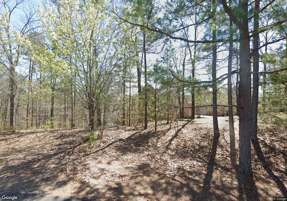
91 Hawks Cir Edgemont, AR 72044
Estimated Value: $658,452 - $918,000
--
Bed
3
Baths
5,212
Sq Ft
$146/Sq Ft
Est. Value
About This Home
This home is located at 91 Hawks Cir, Edgemont, AR 72044 and is currently estimated at $761,151, approximately $146 per square foot. 91 Hawks Cir is a home located in Cleburne County with nearby schools including West Side Elementary School and West Side High School.
Ownership History
Date
Name
Owned For
Owner Type
Purchase Details
Closed on
Jul 19, 2022
Sold by
Gay Depalo Karie
Bought by
De Palo Family Trust
Current Estimated Value
Purchase Details
Closed on
Apr 13, 2012
Bought by
Depalo Loretta and Wallace Karie G
Purchase Details
Closed on
Jul 10, 2006
Sold by
Burling Dennis P and Burling Frances H
Bought by
Depalo Loretta and Wallace Karie G
Home Financials for this Owner
Home Financials are based on the most recent Mortgage that was taken out on this home.
Original Mortgage
$264,000
Interest Rate
6.67%
Mortgage Type
New Conventional
Purchase Details
Closed on
Feb 19, 2004
Bought by
Burling Dennis P
Purchase Details
Closed on
Apr 7, 2000
Bought by
Burling Dennis P and Burling Frances H
Purchase Details
Closed on
Sep 16, 1999
Bought by
Harris Johnny M
Purchase Details
Closed on
Apr 23, 1998
Bought by
Hill Creek Land Development Llc
Create a Home Valuation Report for This Property
The Home Valuation Report is an in-depth analysis detailing your home's value as well as a comparison with similar homes in the area
Home Values in the Area
Average Home Value in this Area
Purchase History
| Date | Buyer | Sale Price | Title Company |
|---|---|---|---|
| De Palo Family Trust | -- | Overbey Strigel Boyd & Westbro | |
| Depalo Loretta | -- | -- | |
| Depalo Loretta | $330,000 | -- | |
| Burling Dennis P | -- | -- | |
| Burling Dennis P | $275,000 | -- | |
| Harris Johnny M | $150,000 | -- | |
| Hill Creek Land Development Llc | -- | -- |
Source: Public Records
Mortgage History
| Date | Status | Borrower | Loan Amount |
|---|---|---|---|
| Previous Owner | Depalo Loretta | $264,000 |
Source: Public Records
Tax History Compared to Growth
Tax History
| Year | Tax Paid | Tax Assessment Tax Assessment Total Assessment is a certain percentage of the fair market value that is determined by local assessors to be the total taxable value of land and additions on the property. | Land | Improvement |
|---|---|---|---|---|
| 2024 | $4,397 | $113,890 | $11,000 | $102,890 |
| 2023 | $2,941 | $87,603 | $11,000 | $76,603 |
| 2022 | $2,696 | $87,603 | $11,000 | $76,603 |
| 2021 | $2,451 | $63,331 | $10,000 | $53,331 |
| 2020 | $2,451 | $63,331 | $10,000 | $53,331 |
| 2019 | $2,451 | $63,331 | $10,000 | $53,331 |
| 2018 | $2,451 | $63,331 | $10,000 | $53,331 |
| 2017 | $2,451 | $63,331 | $10,000 | $53,331 |
| 2016 | $2,320 | $59,947 | $14,000 | $45,947 |
| 2015 | $2,320 | $59,947 | $14,000 | $45,947 |
| 2014 | $2,320 | $59,947 | $14,000 | $45,947 |
Source: Public Records
Map
Nearby Homes
- 11 Talon Ln
- 8 Hawks Cir
- 515 Davidson Cir
- 0 Lakeview Rd
- L58 Davidson Cir
- 948 & 950 Sunny Slope Rd
- 900 Davidson Cir
- 760 Davidson Cir
- Tract 14 Weldon Rd
- 150 Hazelwood Dr
- 27 Rock
- 26 Rock
- 530 Weldon Rd
- 35 Elrod Dr
- 5 Bay Shore Dr
- 0 Bay Shore Unit 25030265
- 0 Bay Shore Unit 25030262
- 22 Rock Rd
- 23 Rock Rd
- 25 Rock Rd
- 15 Pointe Dr
- 79 Hawks Cir
- 81 Hawks Cir
- 25 Pointe Dr
- 4 Pointe Dr
- 80 Hawks Cir
- Lot 77 Hawks Point Cir
- 40 Pointe Dr
- 67 Hawks Cir
- 20 Pointe Dr
- Lot 75 Hawks Point Cir
- 111 Hawks Cir
- Lot 73 Hawks Point Cir
- Lot 76 Hawks Point Cir
- Lot 74 Hawks Point Cir
- Lot 71 Hawks Point Cir
- Lot 72 Hawks Point Cir
- Lot 70 Hawks Point Cir
- 60 Pointe Dr
- lot 67 Hawks Cir
