91 Heath Point W Macon, GA 31220
Estimated Value: $214,000 - $230,455
3
Beds
2
Baths
1,719
Sq Ft
$129/Sq Ft
Est. Value
About This Home
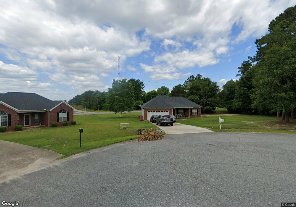
This home is located at 91 Heath Point W, Macon, GA 31220 and is currently estimated at $221,364, approximately $128 per square foot. 91 Heath Point W is a home located in Bibb County with nearby schools including Union Elementary School, Weaver Middle School, and Westside High School.
Ownership History
Date
Name
Owned For
Owner Type
Purchase Details
Closed on
Jul 23, 2007
Sold by
Norwood Audrey Chambers
Bought by
Norwood Emory
Current Estimated Value
Purchase Details
Closed on
Mar 6, 2003
Purchase Details
Closed on
Jun 13, 2002
Create a Home Valuation Report for This Property
The Home Valuation Report is an in-depth analysis detailing your home's value as well as a comparison with similar homes in the area
Purchase History
| Date | Buyer | Sale Price | Title Company |
|---|---|---|---|
| Norwood Emory | -- | None Available | |
| -- | $129,500 | -- | |
| -- | $17,500 | -- |
Source: Public Records
Tax History
| Year | Tax Paid | Tax Assessment Tax Assessment Total Assessment is a certain percentage of the fair market value that is determined by local assessors to be the total taxable value of land and additions on the property. | Land | Improvement |
|---|---|---|---|---|
| 2025 | -- | $76,180 | $10,000 | $66,180 |
| 2024 | -- | $76,180 | $10,000 | $66,180 |
| 2023 | $0 | $76,180 | $10,000 | $66,180 |
| 2022 | $2,622 | $69,004 | $6,568 | $62,436 |
| 2021 | $2,033 | $53,494 | $6,270 | $47,224 |
| 2020 | $1,539 | $53,494 | $6,270 | $47,224 |
| 2019 | $1,551 | $53,494 | $6,270 | $47,224 |
| 2018 | $2,266 | $48,697 | $5,971 | $42,726 |
| 2017 | $1,293 | $48,697 | $5,971 | $42,726 |
| 2016 | $1,443 | $48,697 | $5,971 | $42,726 |
| 2015 | $2,042 | $48,697 | $5,971 | $42,726 |
| 2014 | $2,078 | $49,357 | $9,673 | $39,684 |
Source: Public Records
Map
Nearby Homes
- 101 George Oxford Dr
- 506 Pine Meadows Ct
- 224 Carsons Walk
- 229 Carsons Walk
- 219 Carsons Walk
- 311 Shannon Ct
- 201 Carsons Walk
- 307 Shannon Ct
- 272 Laurel Springs Dr
- 313 Shannon Ct
- 308 Shannon Ct
- 310 Shannon Ct
- 306 Shannon Ct
- 304 Shannon Ct
- 148 Crest Mont Dr
- 177 Kinsale Dr
- 177 Kinsale Dr
- 205 Kinsale Dr
- 209 Kinsale Dr
- 207 Kinsale Dr
- 95 Heath Point W
- 90 Heath Point W
- 2819 Heath Rd
- 209 William and Mollies Walk
- 94 Heath Point W
- 104 Heath Pl Rd
- 205 William and Mollies Walk
- 100 Heath Pl Rd
- 215 William and Mollies Walk
- 104 Heath Place Rd
- 201 William and Mollies Walk
- 219 William and Mollies Walk
- 219 William & Mollies Walk
- 208 William and Mollies Walk
- 105 George Oxford Dr
- 204 William and Mollies Walk
- 101 Heath Pl Rd
- 101 Heath Place Rd
- 214 William and Mollies Walk
- 105 Heath Place Rd
Your Personal Tour Guide
Ask me questions while you tour the home.