91 Hilburn Rd Dahlonega, GA 30533
Estimated Value: $601,697 - $722,000
--
Bed
2
Baths
3,316
Sq Ft
$202/Sq Ft
Est. Value
About This Home
This home is located at 91 Hilburn Rd, Dahlonega, GA 30533 and is currently estimated at $668,424, approximately $201 per square foot. 91 Hilburn Rd is a home located in Lumpkin County with nearby schools including Clay County Middle School and Lumpkin County High School.
Ownership History
Date
Name
Owned For
Owner Type
Purchase Details
Closed on
Oct 31, 2013
Sold by
Grindle Phillip Eugene
Bought by
Grindle Phillip Eugene and Grindle Dawn Green
Current Estimated Value
Home Financials for this Owner
Home Financials are based on the most recent Mortgage that was taken out on this home.
Original Mortgage
$238,000
Outstanding Balance
$177,488
Interest Rate
4.23%
Mortgage Type
New Conventional
Estimated Equity
$490,936
Purchase Details
Closed on
May 30, 1997
Sold by
Grindle Phillip Euge
Bought by
Grindle Phillip Euge
Purchase Details
Closed on
Apr 1, 1986
Sold by
Grindle Phillip Euge
Bought by
Grindle Phillip Euge
Purchase Details
Closed on
Mar 1, 1985
Bought by
Grindle Phillip Euge
Create a Home Valuation Report for This Property
The Home Valuation Report is an in-depth analysis detailing your home's value as well as a comparison with similar homes in the area
Home Values in the Area
Average Home Value in this Area
Purchase History
| Date | Buyer | Sale Price | Title Company |
|---|---|---|---|
| Grindle Phillip Eugene | -- | -- | |
| Grindle Phillip Euge | -- | -- | |
| Grindle Phillip Euge | -- | -- | |
| Grindle Phillip Euge | -- | -- |
Source: Public Records
Mortgage History
| Date | Status | Borrower | Loan Amount |
|---|---|---|---|
| Open | Grindle Phillip Eugene | $238,000 |
Source: Public Records
Tax History Compared to Growth
Tax History
| Year | Tax Paid | Tax Assessment Tax Assessment Total Assessment is a certain percentage of the fair market value that is determined by local assessors to be the total taxable value of land and additions on the property. | Land | Improvement |
|---|---|---|---|---|
| 2024 | $4,079 | $177,944 | $39,798 | $138,146 |
| 2023 | $3,478 | $167,418 | $36,526 | $130,892 |
| 2022 | $3,800 | $155,504 | $30,439 | $125,065 |
| 2021 | $3,451 | $136,827 | $30,439 | $106,388 |
| 2020 | $3,467 | $133,442 | $29,168 | $104,274 |
| 2019 | $3,499 | $133,442 | $29,168 | $104,274 |
| 2018 | $3,415 | $122,386 | $29,168 | $93,218 |
| 2017 | $3,399 | $119,505 | $29,168 | $90,337 |
| 2016 | $3,250 | $110,690 | $29,168 | $81,522 |
| 2015 | $2,888 | $110,690 | $29,168 | $81,522 |
| 2014 | $2,888 | $111,534 | $29,168 | $82,366 |
| 2013 | -- | $112,382 | $29,168 | $83,214 |
Source: Public Records
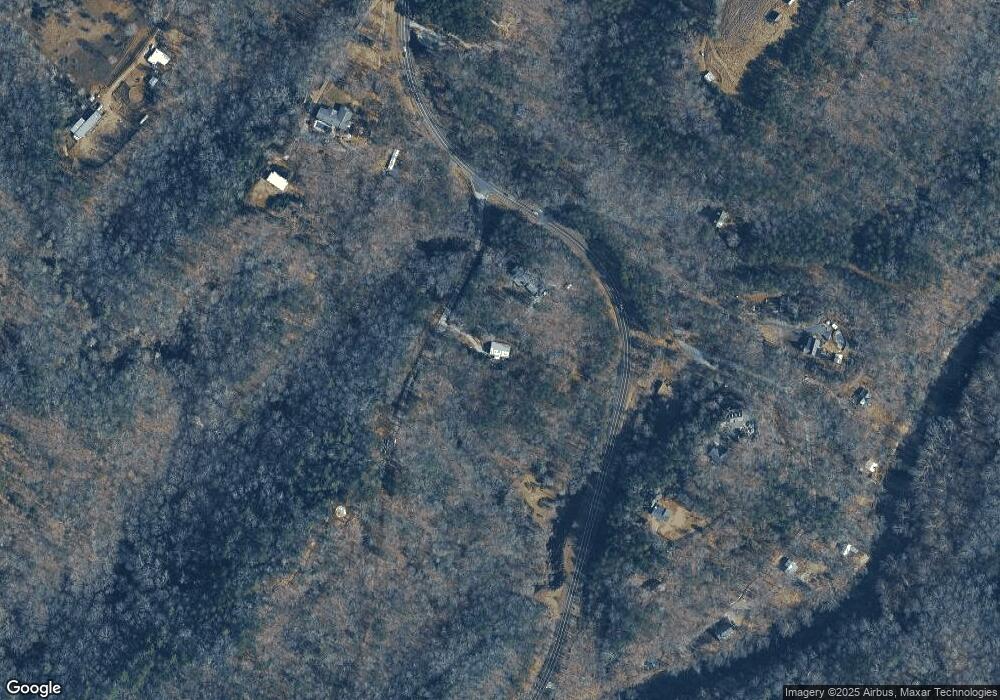
Map
Nearby Homes
- 45 Chestatee River Ridge
- 16 Welch Cir
- 64 Highview Ln
- 380 Copper Mill Rd
- 1063 Grindle Bridge Rd
- 202 Indian Trail
- 0 Arborwood Dr Unit 10645890
- 83 Austin Ct
- 128 Young Deer Dr
- 86.99 Acres Mincie Mountain
- 87 Tolleffs Trail
- 496 Beaver Dam Rd
- 31 Valhalla Dr
- 0 Valhalla Dr Unit 10640791
- 0 Waterfall Dr Unit 9 10472076
- 0 Roseberry Ln
- 23.86 Acres Mincie Mountain
- 20.65 Acres Mincie Mountain
- 82 Chestatee River Ridge
- 0 Chestatee River Ridge Unit 7579846
- 152 Chestatee River Ridge
- Lot 2 Chestatee River Ridge
- 2914 Copper Mines Rd
- 147 Strawberry Ln
- 34 Ponderosa Trail
- 2556 Copper Mines Rd
- 99 Strawberry Ln
- 145 Chestatee River Ridge
- 156 Ponderosa Trail
- 159 Chestatee River Ridge
- 0 Ponderosa Trail Unit 10333133
- 0 Ponderosa Trail Unit 7416387
- 0 Ponderosa Trail Unit 10236550
- 0 Ponderosa Trail Unit 7318249
- 0 Ponderosa Trail Unit 7226490
- 0 Ponderosa Trail Unit 7512672
- 0 Ponderosa Trail Unit 7248298
- 0 Ponderosa Trail Unit 8502284