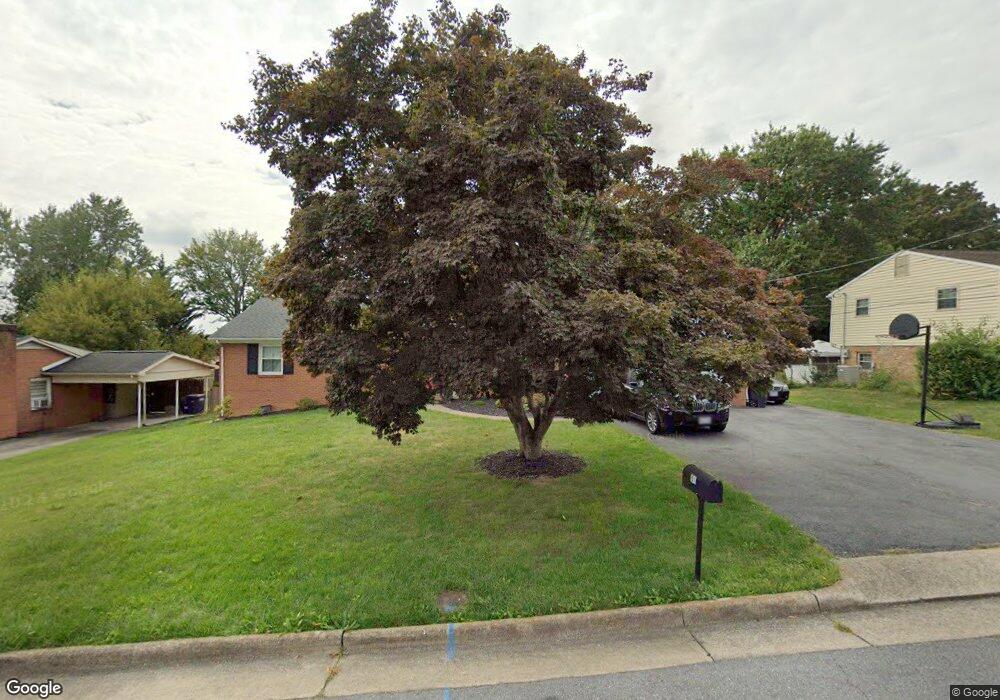
91 Hope St Harrisonburg, VA 22801
Pleasant Acres NeighborhoodEstimated Value: $341,000 - $417,000
3
Beds
3
Baths
2,112
Sq Ft
$186/Sq Ft
Est. Value
About This Home
This home is located at 91 Hope St, Harrisonburg, VA 22801 and is currently estimated at $391,838, approximately $185 per square foot. 91 Hope St is a home located in Harrisonburg City with nearby schools including Keister Elementary School, Thomas Harrison Middle School, and Harrisonburg High School.
Ownership History
Date
Name
Owned For
Owner Type
Purchase Details
Closed on
Aug 4, 2021
Sold by
Weirich Gordon D and Weirich Sarah E
Bought by
Miller Craig M and Miller Lois B
Current Estimated Value
Purchase Details
Closed on
Aug 22, 2016
Sold by
Moccasin Investments Llc
Bought by
Weirich Gordon D and Weirich Sarah E
Home Financials for this Owner
Home Financials are based on the most recent Mortgage that was taken out on this home.
Original Mortgage
$219,000
Interest Rate
3.45%
Mortgage Type
New Conventional
Create a Home Valuation Report for This Property
The Home Valuation Report is an in-depth analysis detailing your home's value as well as a comparison with similar homes in the area
Home Values in the Area
Average Home Value in this Area
Purchase History
| Date | Buyer | Sale Price | Title Company |
|---|---|---|---|
| Miller Craig M | $350,000 | None Available | |
| Weirich Gordon D | $239,000 | West View Title Agency Inc |
Source: Public Records
Mortgage History
| Date | Status | Borrower | Loan Amount |
|---|---|---|---|
| Previous Owner | Weirich Gordon D | $219,000 |
Source: Public Records
Tax History Compared to Growth
Tax History
| Year | Tax Paid | Tax Assessment Tax Assessment Total Assessment is a certain percentage of the fair market value that is determined by local assessors to be the total taxable value of land and additions on the property. | Land | Improvement |
|---|---|---|---|---|
| 2025 | $3,443 | $353,800 | $66,000 | $287,800 |
| 2024 | $3,443 | $340,900 | $66,000 | $274,900 |
| 2023 | $0 | $320,300 | $66,000 | $254,300 |
| 2022 | $0 | $289,500 | $60,000 | $229,500 |
| 2021 | $2,214 | $246,000 | $60,000 | $186,000 |
| 2020 | $1,911 | $216,600 | $60,000 | $156,600 |
| 2019 | $1,899 | $215,200 | $60,000 | $155,200 |
| 2018 | $1,385 | $208,900 | $60,000 | $148,900 |
| 2017 | $1,385 | $203,100 | $60,000 | $143,100 |
| 2016 | $1,385 | $192,300 | $60,000 | $132,300 |
| 2015 | $1,385 | $192,300 | $60,000 | $132,300 |
| 2014 | -- | $197,300 | $60,000 | $137,300 |
Source: Public Records
Map
Nearby Homes
- 1739 Kingston Ct
- 52 South Ave Unit G
- 1435 Bluestone St
- 2132 Willow Hill Dr
- 2122 Willow Hill Dr
- 1450 Bluestone St
- 2112 Willow Hill Dr
- 2102 Willow Hill Dr
- 2105 Willow Hill Dr
- 100 Monument Ave
- 21 Port Republic Rd
- 33 Port Republic Rd
- 146 Maryland Ave
- 2020 Shoeshine Ave
- 210 W Mosby Rd
- 340 New York Ave
- 2414 Millwood Loop Unit 15
- 550 Grommet Dr
- 745 Wingtip Way
- 1309 Bradley Dr