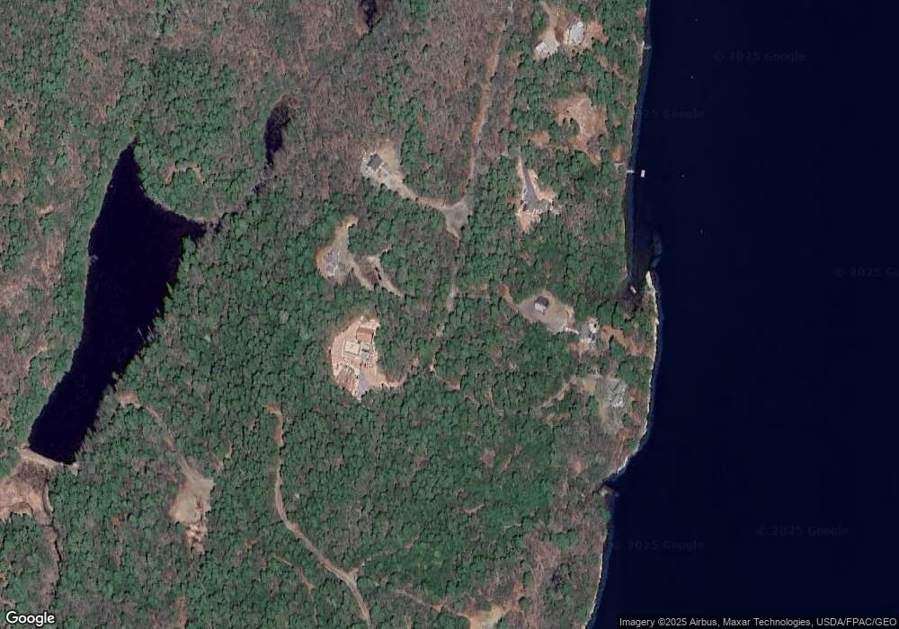
91 McCarty Cove Rd Westport Island, ME 04578
Estimated Value: $556,059 - $756,000
2
Beds
1
Bath
2,784
Sq Ft
$238/Sq Ft
Est. Value
About This Home
This home is located at 91 McCarty Cove Rd, Westport Island, ME 04578 and is currently estimated at $663,765, approximately $238 per square foot. 91 McCarty Cove Rd is a home.
Ownership History
Date
Name
Owned For
Owner Type
Purchase Details
Closed on
Mar 21, 2017
Sold by
Abbott Jason C and Abbott Alexa C
Bought by
Abbott Jason C and Abbott Alexa C
Current Estimated Value
Home Financials for this Owner
Home Financials are based on the most recent Mortgage that was taken out on this home.
Original Mortgage
$142,000
Interest Rate
3.41%
Mortgage Type
Commercial
Create a Home Valuation Report for This Property
The Home Valuation Report is an in-depth analysis detailing your home's value as well as a comparison with similar homes in the area
Home Values in the Area
Average Home Value in this Area
Purchase History
| Date | Buyer | Sale Price | Title Company |
|---|---|---|---|
| Abbott Jason C | -- | -- | |
| Abbott Jason C | -- | -- | |
| Abbott Jason C | -- | -- |
Source: Public Records
Mortgage History
| Date | Status | Borrower | Loan Amount |
|---|---|---|---|
| Closed | Abbott Jason C | $142,000 |
Source: Public Records
Tax History Compared to Growth
Tax History
| Year | Tax Paid | Tax Assessment Tax Assessment Total Assessment is a certain percentage of the fair market value that is determined by local assessors to be the total taxable value of land and additions on the property. | Land | Improvement |
|---|---|---|---|---|
| 2025 | $3,701 | $435,409 | $130,174 | $305,235 |
| 2024 | $2,929 | $395,828 | $118,340 | $277,488 |
| 2023 | $2,352 | $359,023 | $81,535 | $277,488 |
| 2022 | $2,443 | $294,280 | $66,832 | $227,448 |
| 2021 | $2,325 | $294,280 | $66,832 | $227,448 |
| 2020 | $2,384 | $294,280 | $66,832 | $227,448 |
| 2019 | $2,198 | $294,280 | $66,832 | $227,448 |
| 2018 | $1,942 | $294,280 | $66,832 | $227,448 |
| 2016 | $2,119 | $294,280 | $66,832 | $227,448 |
| 2014 | $2,820 | $375,462 | $0 | $0 |
| 2013 | $2,910 | $375,462 | $79,620 | $295,842 |
Source: Public Records
Map
Nearby Homes
- M4 L12.30B McCarty Cove Rd
- 0 Maine 144
- 23 Sunny Acres Ln
- 576 Back River Rd
- 44 Stone Point Ln
- 19 Riverside Ave
- 712 Back River Rd
- 91 Tree Farm Dr
- 13 Porcupine Ln
- 44-4 Windrush Ln
- 124 Main Rd
- 15 Lewis Dr
- 30 Taylor Rd
- 119 Knubble Bay Rd
- 18 High Head Rd
- 32 Murray Hill Rd
- 284 Hockomock Rd
- 693 Wiscasset Rd
- 96 Forest Haven Rd
- 670 Wiscasset Rd
- Lot 2 Lois Ln
- 00 McCarty Cove Rd
- 87 McCarty Cove Rd
- Lot A Lois Ln
- 90 McCarty Cove Rd
- 3 Lois Ln
- 0 Lois Ln Unit 1286471
- 0 Lois Ln Unit 1334945
- Lot 1 Lois Ln
- 13 Lois Ln
- 92 McCarty Cove Rd
- 0 Hopkins Rd
- 58 McCarty Cove Rd
- 60 McCarty Cove Rd
- 40 McCarty Cove Rd
- 53 Sortwell Rd
- 65 Sortwell Rd
- 12.32 B Sortwell Rd
- Lot 26 Sortwell Rd
- 211 Hopkins Rd
