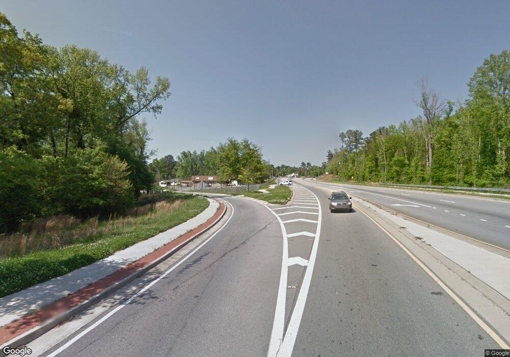
91 Nowhere Rd Danielsville, GA 30633
Estimated Value: $314,000 - $371,421
3
Beds
2
Baths
1,991
Sq Ft
$172/Sq Ft
Est. Value
About This Home
This home is located at 91 Nowhere Rd, Danielsville, GA 30633 and is currently estimated at $342,711, approximately $172 per square foot. 91 Nowhere Rd is a home with nearby schools including Franklin County High School.
Ownership History
Date
Name
Owned For
Owner Type
Purchase Details
Closed on
Dec 16, 2019
Sold by
Wilson Ester T
Bought by
Hanley Bobby Jason and Hanley Abbie
Current Estimated Value
Purchase Details
Closed on
Jan 30, 2008
Sold by
Ledbetter George H
Bought by
Wilson Ester T
Purchase Details
Closed on
Dec 20, 2001
Sold by
Wilson Ester T
Bought by
Ledbetter George Hope
Purchase Details
Closed on
Mar 26, 1992
Bought by
Wilson Ester T
Purchase Details
Closed on
Mar 25, 1992
Sold by
Ledbetter Velma Chandler
Bought by
Wilson Ester T
Purchase Details
Closed on
Feb 24, 1992
Bought by
Wilson Ester T
Create a Home Valuation Report for This Property
The Home Valuation Report is an in-depth analysis detailing your home's value as well as a comparison with similar homes in the area
Home Values in the Area
Average Home Value in this Area
Purchase History
| Date | Buyer | Sale Price | Title Company |
|---|---|---|---|
| Hanley Bobby Jason | $2,310 | -- | |
| Wilson Ester T | -- | -- | |
| Wilson Ester T | -- | -- | |
| Ledbetter George Hope | -- | -- | |
| Wilson Ester T | -- | -- | |
| Wilson Ester T | -- | -- | |
| Wilson Ester T | -- | -- |
Source: Public Records
Tax History Compared to Growth
Tax History
| Year | Tax Paid | Tax Assessment Tax Assessment Total Assessment is a certain percentage of the fair market value that is determined by local assessors to be the total taxable value of land and additions on the property. | Land | Improvement |
|---|---|---|---|---|
| 2024 | $2,147 | $110,182 | $22,385 | $87,797 |
| 2023 | $2,109 | $101,758 | $20,350 | $81,408 |
| 2022 | $1,862 | $92,155 | $16,589 | $75,566 |
| 2021 | $1,767 | $84,226 | $16,589 | $67,637 |
| 2020 | $1,904 | $78,498 | $16,589 | $61,909 |
| 2019 | $1,857 | $79,132 | $17,223 | $61,909 |
| 2018 | $1,485 | $71,058 | $16,174 | $54,884 |
| 2017 | $1,542 | $71,058 | $16,174 | $54,884 |
| 2016 | $1,473 | $66,402 | $16,174 | $50,228 |
| 2015 | -- | $66,402 | $16,174 | $50,228 |
| 2014 | -- | $66,402 | $16,174 | $50,228 |
| 2013 | -- | $66,984 | $16,173 | $50,810 |
Source: Public Records
Map
Nearby Homes
- 7527 Highway 326
- 24 Tomlin Way
- 1020 Riverbend Rd
- 775 Riverbend Rd
- 0 5 Points Rd
- 0 Carson Rd Unit LOT 32 10594149
- 0 Carson Rd Unit 7640890
- 163 M t Trail
- 1679 Fort Lamar Rd
- 166 Timberlane Dr
- 1065 Hebron Rd
- 731 Borders Rd
- 5591 Jot Em Down Rd
- 139 Meadow Lake Dr
- 0-TRACT 3 Drake Woods Rd
- 161 Meadow Lake Dr
- 689 Riverside Ct
- 404 Haggard Dr
- 166 Freedom Ln
- 91 No Where Rd
- 3162 Highway 326 Unit 1,2
- 000 Hudson River Church Rd
- 0 Hudson River Church Rd Unit CM923554
- 0 Hudson River Church Rd Unit 7020526
- 0 Hudson River Church Rd Unit 7211835
- 0 Hudson River Church Rd Unit 3110251
- 2013 Duncan Rd
- 100 Hudson River Church Rd
- 2005 Duncan Rd
- 3213 Highway 326
- 1939 Duncan Rd
- 245 E County Line Rd
- 1917 Duncan Rd
- 3289 Highway 326
- 3293 Highway 326
- 189 Nowhere Rd
- 8045 Highway 326
- 8045 Highway 326
- 353 No Where Rd
