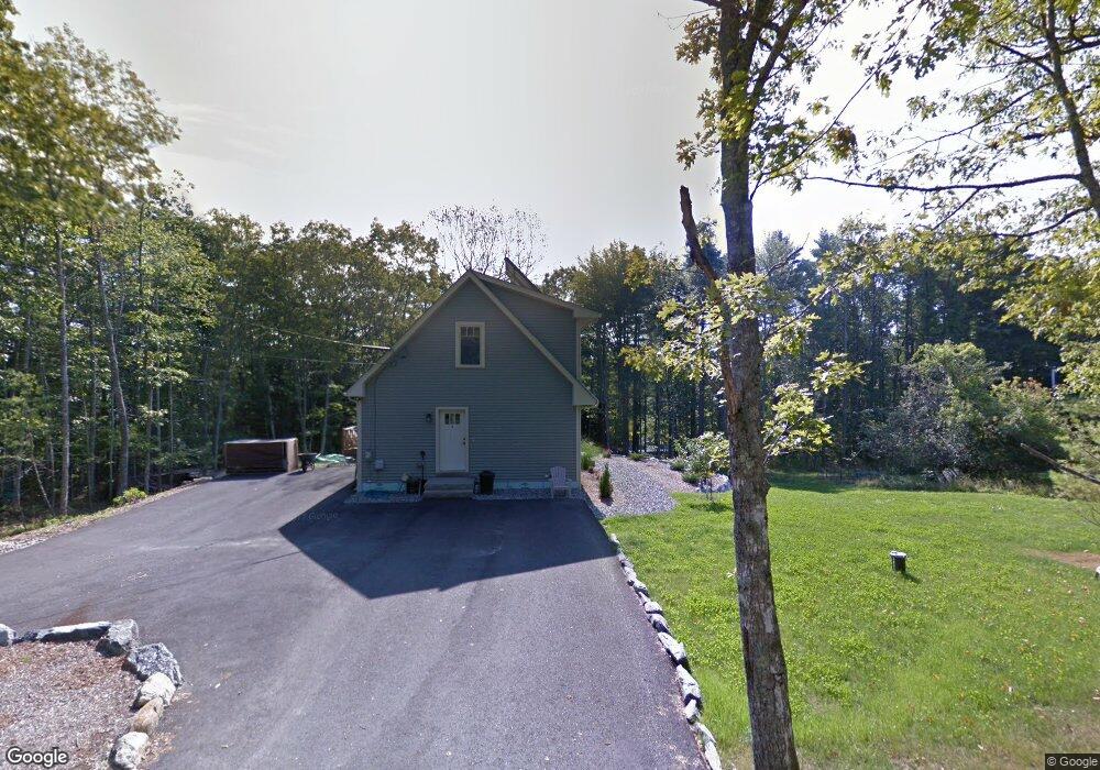
91 Peabody Rd Harpswell, ME 04079
Harpswell Neck NeighborhoodEstimated Value: $410,000 - $778,000
2
Beds
2
Baths
1,512
Sq Ft
$376/Sq Ft
Est. Value
About This Home
This home is located at 91 Peabody Rd, Harpswell, ME 04079 and is currently estimated at $568,190, approximately $375 per square foot. 91 Peabody Rd is a home with nearby schools including Mt Ararat High School.
Ownership History
Date
Name
Owned For
Owner Type
Purchase Details
Closed on
Feb 7, 2017
Sold by
Duggan Dennis C and Duggan Shirley A
Bought by
Shepherd Llc
Current Estimated Value
Home Financials for this Owner
Home Financials are based on the most recent Mortgage that was taken out on this home.
Original Mortgage
$262,500
Outstanding Balance
$217,945
Interest Rate
4.3%
Mortgage Type
New Conventional
Estimated Equity
$350,245
Create a Home Valuation Report for This Property
The Home Valuation Report is an in-depth analysis detailing your home's value as well as a comparison with similar homes in the area
Home Values in the Area
Average Home Value in this Area
Purchase History
| Date | Buyer | Sale Price | Title Company |
|---|---|---|---|
| Shepherd Llc | -- | -- |
Source: Public Records
Mortgage History
| Date | Status | Borrower | Loan Amount |
|---|---|---|---|
| Open | Shepherd Llc | $262,500 |
Source: Public Records
Tax History Compared to Growth
Tax History
| Year | Tax Paid | Tax Assessment Tax Assessment Total Assessment is a certain percentage of the fair market value that is determined by local assessors to be the total taxable value of land and additions on the property. | Land | Improvement |
|---|---|---|---|---|
| 2024 | $2,271 | $357,000 | $71,200 | $285,800 |
| 2023 | $2,178 | $357,000 | $71,200 | $285,800 |
| 2022 | $2,106 | $357,000 | $71,200 | $285,800 |
| 2021 | $2,027 | $299,800 | $66,000 | $233,800 |
| 2020 | $2,021 | $299,800 | $66,000 | $233,800 |
| 2019 | $2,009 | $299,800 | $66,000 | $233,800 |
| 2018 | $1,943 | $299,800 | $66,000 | $233,800 |
| 2017 | $1,937 | $299,800 | $66,000 | $233,800 |
| 2016 | $1,793 | $280,200 | $66,000 | $214,200 |
| 2015 | $1,748 | $280,200 | $66,000 | $214,200 |
| 2013 | $1,605 | $277,700 | $66,000 | $211,700 |
Source: Public Records
Map
Nearby Homes
- 270 Harpswell Neck Rd
- 242 Long Reach Ln
- Map 80 Lot 18-0 White Island
- 0 Gundalo Gap Rd Unit 1638108
- 853 Mere Point Rd
- 37 & 38 S Dyers Cove Rd
- 11 Orion Point Way
- 46 Blackstone Club Rd
- 646 Gurnet Rd
- 29 & 30 Nob Hill Ave
- 250 Mere Point Rd
- 6 Chebeague Ln
- 49 Gleed Dr
- Lot 129 Harpswell Neck Rd
- 260 Coombs Rd
- 6 Melden Dr
- 0 Melden Dr
- 83 Central Ave
- 10 Betina Ln
- 136 Bethel Point Rd
- 88 Peabody Rd
- 282 Harpswell Neck Rd
- 276 Harpswell Neck Rd
- 0 Harpswell Neck (Eagle's Nest) Rd Unit 1405167
- 55 Peabody Rd
- 0 Eagles Nest Way Unit 1433297
- 0 Eagles Nest Way Unit 1445687
- 258 Harpswell Neck Rd
- 000 Harpswell Neck Rd
- 26 Pinecrest Rd
- 259 Harpswell Neck Rd
- 267 Harpswell Neck Rd
- 2 Otter Brook
- 0001 Harpswell Neck Rd
- 15 Dragonfly Ln
- Lot 2 Saltwater Reach
- 0 Harpswell Neck Rd Unit 1615782
- 0 Harpswell Neck Rd Unit 817415
- 0 Harpswell Neck Rd Unit 784203