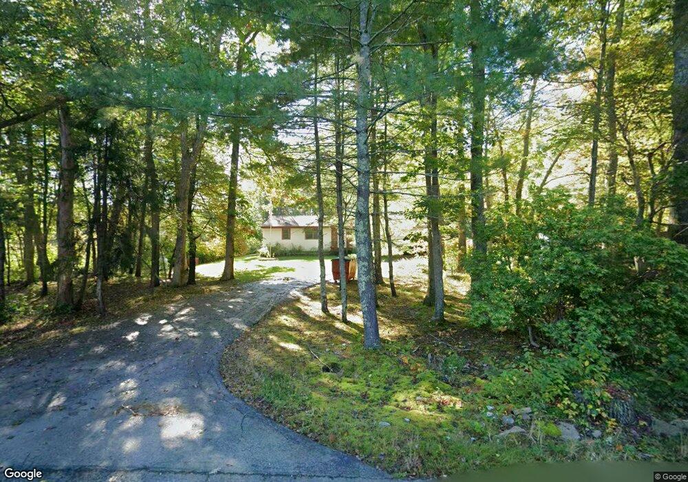
91 Reynolds Ave Rehoboth, MA 02769
Estimated Value: $500,682 - $664,000
3
Beds
1
Bath
1,300
Sq Ft
$419/Sq Ft
Est. Value
About This Home
This home is located at 91 Reynolds Ave, Rehoboth, MA 02769 and is currently estimated at $544,171, approximately $418 per square foot. 91 Reynolds Ave is a home located in Bristol County with nearby schools including Dighton-Rehoboth Regional High School and The Pinecroft School.
Ownership History
Date
Name
Owned For
Owner Type
Purchase Details
Closed on
May 13, 2024
Sold by
Pickett Charles M
Bought by
Pickett Irt and Pickett
Current Estimated Value
Purchase Details
Closed on
Nov 1, 1984
Bought by
Pickett Charles M
Create a Home Valuation Report for This Property
The Home Valuation Report is an in-depth analysis detailing your home's value as well as a comparison with similar homes in the area
Home Values in the Area
Average Home Value in this Area
Purchase History
| Date | Buyer | Sale Price | Title Company |
|---|---|---|---|
| Pickett Irt | -- | None Available | |
| Pickett Irt | -- | None Available | |
| Pickett Charles M | -- | -- |
Source: Public Records
Mortgage History
| Date | Status | Borrower | Loan Amount |
|---|---|---|---|
| Previous Owner | Pickett Charles M | $20,000 | |
| Previous Owner | Pickett Charles M | $101,000 | |
| Previous Owner | Pickett Charles M | $42,000 |
Source: Public Records
Tax History Compared to Growth
Tax History
| Year | Tax Paid | Tax Assessment Tax Assessment Total Assessment is a certain percentage of the fair market value that is determined by local assessors to be the total taxable value of land and additions on the property. | Land | Improvement |
|---|---|---|---|---|
| 2025 | $46 | $409,000 | $195,600 | $213,400 |
| 2024 | $4,235 | $372,800 | $195,600 | $177,200 |
| 2023 | $4,147 | $358,100 | $191,600 | $166,500 |
| 2022 | $4,090 | $322,800 | $183,200 | $139,600 |
| 2021 | $3,881 | $293,100 | $166,900 | $126,200 |
| 2020 | $3,722 | $283,700 | $166,900 | $116,800 |
| 2018 | $3,268 | $273,000 | $159,100 | $113,900 |
| 2017 | $0 | $247,500 | $159,100 | $88,400 |
| 2016 | $3,041 | $250,300 | $159,100 | $91,200 |
| 2015 | $2,853 | $231,800 | $151,900 | $79,900 |
| 2014 | $2,794 | $224,600 | $144,700 | $79,900 |
Source: Public Records
Map
Nearby Homes
- 48 Round Farm Rd
- 1 Round Farm Rd
- 2 Round Farm Rd
- 14 Tremont St
- 58 Peck St
- 29 & 43 Francis St
- 70 Forest Hill Dr
- 1120 Glebe St
- 27 Run Brook Cir
- 805 Burt St
- 0 Kimberly Rd
- 2045 Winthrop St
- 837 Glebe St
- 701 Winthrop St Unit 312
- 470 Hodges St
- 2181 Wheeler St
- 99 Brigham Hill Rd
- 0 Range Ave Unit 72771508
- 0 Range Ave Unit 72771509
- 51 Cobb Brook
- 96 Reynolds Ave
- 97 Reynolds Ave
- 105 Reynolds Ave
- 90 Reynolds Ave
- O Reynolds Ave
- Lot 1 - 96 Reynolds Ave
- 109 Reynolds Ave
- 110 Reynolds Ave
- 0 Reynolds Ave
- 114 Reynolds Ave
- 106 Reynolds Ave
- 102 Reynolds Ave
- 21 Old Reynolds Rd
- 113 Reynolds Ave
- 113 Reynolds Ave
- 113 Reynolds Ave
- 80 Reynolds Ave
- 86 Reynolds Ave
- Lot 3 Reynolds Ave
- 74 Reynolds Ave