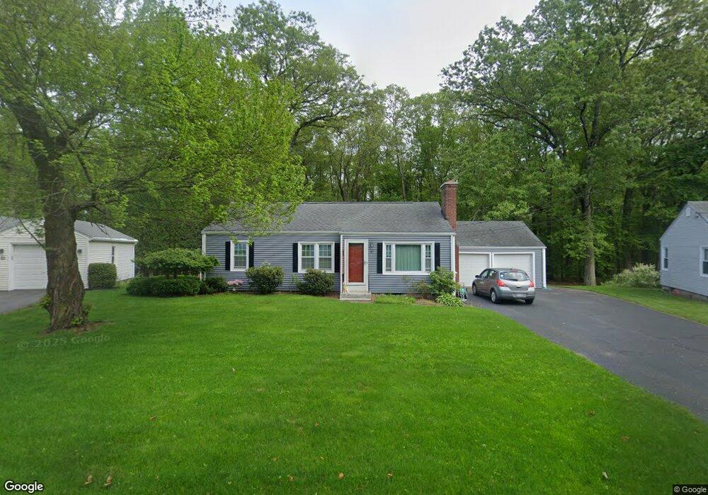
91 Robinson Rd West Springfield, MA 01089
Estimated Value: $321,749 - $339,000
3
Beds
1
Bath
994
Sq Ft
$335/Sq Ft
Est. Value
About This Home
This home is located at 91 Robinson Rd, West Springfield, MA 01089 and is currently estimated at $332,937, approximately $334 per square foot. 91 Robinson Rd is a home located in Hampden County with nearby schools including West Springfield High School and St Thomas The Apostle School.
Ownership History
Date
Name
Owned For
Owner Type
Purchase Details
Closed on
Sep 30, 2005
Sold by
Stmartin Derek J and Stmartin Cheryl M
Bought by
Percy Robert L and Percy Alison
Current Estimated Value
Home Financials for this Owner
Home Financials are based on the most recent Mortgage that was taken out on this home.
Original Mortgage
$190,000
Outstanding Balance
$102,209
Interest Rate
5.84%
Mortgage Type
Purchase Money Mortgage
Estimated Equity
$230,728
Purchase Details
Closed on
Jul 28, 1995
Sold by
Biuso James V
Bought by
St Martin Derek J and St Martin Cheryl M
Home Financials for this Owner
Home Financials are based on the most recent Mortgage that was taken out on this home.
Original Mortgage
$93,100
Interest Rate
7.56%
Mortgage Type
Purchase Money Mortgage
Create a Home Valuation Report for This Property
The Home Valuation Report is an in-depth analysis detailing your home's value as well as a comparison with similar homes in the area
Home Values in the Area
Average Home Value in this Area
Purchase History
| Date | Buyer | Sale Price | Title Company |
|---|---|---|---|
| Percy Robert L | $200,000 | -- | |
| St Martin Derek J | $98,000 | -- |
Source: Public Records
Mortgage History
| Date | Status | Borrower | Loan Amount |
|---|---|---|---|
| Closed | St Martin Derek J | $35,000 | |
| Open | Percy Robert L | $190,000 | |
| Previous Owner | St Martin Derek J | $93,100 | |
| Previous Owner | St Martin Derek J | $15,000 |
Source: Public Records
Tax History
| Year | Tax Paid | Tax Assessment Tax Assessment Total Assessment is a certain percentage of the fair market value that is determined by local assessors to be the total taxable value of land and additions on the property. | Land | Improvement |
|---|---|---|---|---|
| 2025 | $3,874 | $260,500 | $126,600 | $133,900 |
| 2024 | $3,827 | $258,400 | $126,600 | $131,800 |
| 2023 | $3,709 | $238,700 | $126,600 | $112,100 |
| 2022 | $3,365 | $213,500 | $114,900 | $98,600 |
| 2021 | $3,301 | $195,300 | $107,100 | $88,200 |
| 2020 | $3,289 | $193,600 | $107,100 | $86,500 |
| 2019 | $3,283 | $193,600 | $107,100 | $86,500 |
| 2018 | $3,301 | $193,600 | $107,100 | $86,500 |
| 2017 | $3,301 | $193,600 | $107,100 | $86,500 |
| 2016 | $3,240 | $190,700 | $103,000 | $87,700 |
| 2015 | $3,175 | $186,900 | $100,900 | $86,000 |
| 2014 | $770 | $186,900 | $100,900 | $86,000 |
Source: Public Records
Map
Nearby Homes
- 1996 Westfield St
- lot A North St
- 32 Glenview Dr
- 117 Sibley Ave
- 112 North St
- 65 Verdugo St
- 657-659 Springfield St
- 88 Verdugo St
- 999 N Street Extension
- 157 Cambridge St
- 67 Colemore St
- 24-26 Howard St
- 1086 N Street Extension
- 240 Morton St
- 81 Chestnut St
- 61 Clarence St
- 25 Damato Way
- 1012 River St
- 128 Hampden St
- 20 Ottawa St
- 97 Robinson Rd
- 85 Robinson Rd
- 101 Robinson Rd
- 108 Robinson Rd
- 79 Robinson Rd
- 80 Robinson Rd
- 107 Robinson Rd
- 75 Robinson Rd
- 122 Robinson Rd
- 70 Robinson Rd
- 330 Poplar Ave
- 130 Robinson Rd
- 65 Robinson Rd
- 64 Robinson Rd
- 138 Robinson Rd
- 125 Robinson Rd
- 59 Robinson Rd
- 56 Robinson Rd
- 324 Poplar Ave
- 320 Poplar Ave
Your Personal Tour Guide
Ask me questions while you tour the home.