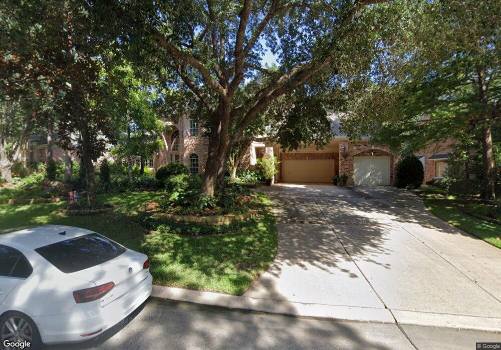
91 S Taylor Point Dr Spring, TX 77382
Alden Bridge NeighborhoodEstimated Value: $984,000 - $1,169,000
Studio
4
Baths
4,154
Sq Ft
$253/Sq Ft
Est. Value
About This Home
This home is located at 91 S Taylor Point Dr, Spring, TX 77382 and is currently estimated at $1,052,248, approximately $253 per square foot. 91 S Taylor Point Dr is a home located in Montgomery County with nearby schools including Bush Elementary School, Mitchell Intermediate School, and McCullough Junior High School.
Ownership History
Date
Name
Owned For
Owner Type
Purchase Details
Closed on
May 4, 2001
Sold by
Richard L Porter Family Trust Of 1994
Bought by
Inman Philip R and Denise Inman L
Current Estimated Value
Home Financials for this Owner
Home Financials are based on the most recent Mortgage that was taken out on this home.
Original Mortgage
$360,000
Outstanding Balance
$127,848
Interest Rate
6.37%
Estimated Equity
$924,400
Purchase Details
Closed on
Jan 14, 1997
Sold by
Gary Lyons Building Inc
Bought by
Inman Philip R and Denise L
Purchase Details
Closed on
Mar 13, 1996
Sold by
Woodlands Land Dev Lp
Bought by
Inman Philip R and Denise L
Create a Home Valuation Report for This Property
The Home Valuation Report is an in-depth analysis detailing your home's value as well as a comparison with similar homes in the area
Home Values in the Area
Average Home Value in this Area
Purchase History
| Date | Buyer | Sale Price | Title Company |
|---|---|---|---|
| Inman Philip R | -- | Stewart Title | |
| Inman Philip R | -- | -- | |
| Inman Philip R | -- | -- |
Source: Public Records
Mortgage History
| Date | Status | Borrower | Loan Amount |
|---|---|---|---|
| Open | Inman Philip R | $360,000 |
Source: Public Records
Tax History
| Year | Tax Paid | Tax Assessment Tax Assessment Total Assessment is a certain percentage of the fair market value that is determined by local assessors to be the total taxable value of land and additions on the property. | Land | Improvement |
|---|---|---|---|---|
| 2025 | $10,044 | $938,960 | -- | -- |
| 2024 | $10,062 | $853,600 | -- | -- |
| 2023 | $10,062 | $776,000 | $140,000 | $715,610 |
| 2022 | $14,299 | $705,450 | $140,000 | $680,540 |
| 2021 | $13,988 | $641,320 | $51,050 | $590,270 |
| 2020 | $14,785 | $639,160 | $51,050 | $588,110 |
| 2019 | $16,010 | $670,800 | $51,050 | $619,750 |
| 2018 | $14,072 | $645,000 | $51,050 | $593,950 |
| 2017 | $15,583 | $645,000 | $51,050 | $593,950 |
| 2016 | $16,133 | $667,740 | $51,050 | $616,690 |
| 2015 | $14,250 | $653,440 | $51,050 | $637,410 |
| 2014 | $14,250 | $594,040 | $51,050 | $542,990 |
Source: Public Records
Map
Nearby Homes
- 43 Meadow Brook Place
- 14 Valley Oaks Cir
- 138 S Veranda Ridge Dr
- 38 Wineberry Place
- 51 Wineberry Place
- 14 Clarion Ridge
- 79 Anise Tree Place
- 47 S Bristol Oak Cir
- 151 Bristol Bend Cir
- 71 Summerhaze Cir
- 168 Bristol Bend Cir
- 27 Summer Haze Cir
- 142 Golden Autumn Place
- 2 Westward Ridge Place
- 157 E Summerhaze Cir
- 38 Wrens Song Place
- 43 Wrens Song Place
- 82 E Coldbrook Cir
- 191 Golden Autumn Place
- 78 E Evangeline Oaks Cir
- 83 S Taylor Point Dr
- 99 N Taylor Point Dr
- 7 Cane Mill Place
- 11 Cane Mill Place
- 90 Thistle Brook Place
- 79 S Taylor Point Dr
- 111 N Taylor Point Dr
- 86 S Taylor Point Dr
- 106 Thistle Brook Place
- 82 S Taylor Point Dr
- 94 Thistle Brook Place
- 67 S Taylor Point Dr
- 78 S Taylor Point Dr
- 110 N Taylor Point Dr
- 102 Thistle Brook Place
- 15 Cane Mill Place
- 6 Cane Mill
- 6 Cane Mill Place
- 114 N Taylor Point Dr
- 2 Cane Mill Place
Your Personal Tour Guide
Ask me questions while you tour the home.