91 Sailboat Ln Kimberling City, MO 65686
Estimated Value: $240,000 - $315,000
3
Beds
2
Baths
1,400
Sq Ft
$205/Sq Ft
Est. Value
About This Home
This home is located at 91 Sailboat Ln, Kimberling City, MO 65686 and is currently estimated at $286,619, approximately $204 per square foot. 91 Sailboat Ln is a home located in Stone County with nearby schools including Reeds Spring Primary School, Reeds Spring Middle School, and Reeds Spring Intermediate School.
Ownership History
Date
Name
Owned For
Owner Type
Purchase Details
Closed on
Sep 10, 2010
Sold by
Underwood Steve W
Bought by
Phillips Ed and Phillips Johna M
Current Estimated Value
Home Financials for this Owner
Home Financials are based on the most recent Mortgage that was taken out on this home.
Original Mortgage
$193,600
Outstanding Balance
$127,794
Interest Rate
4.51%
Mortgage Type
New Conventional
Estimated Equity
$158,825
Create a Home Valuation Report for This Property
The Home Valuation Report is an in-depth analysis detailing your home's value as well as a comparison with similar homes in the area
Home Values in the Area
Average Home Value in this Area
Purchase History
| Date | Buyer | Sale Price | Title Company |
|---|---|---|---|
| Phillips Ed | -- | -- |
Source: Public Records
Mortgage History
| Date | Status | Borrower | Loan Amount |
|---|---|---|---|
| Open | Phillips Ed | $193,600 |
Source: Public Records
Tax History Compared to Growth
Tax History
| Year | Tax Paid | Tax Assessment Tax Assessment Total Assessment is a certain percentage of the fair market value that is determined by local assessors to be the total taxable value of land and additions on the property. | Land | Improvement |
|---|---|---|---|---|
| 2025 | $674 | $13,760 | -- | -- |
| 2024 | $694 | $13,760 | -- | -- |
| 2023 | $694 | $14,190 | $0 | $0 |
| 2022 | $690 | $14,190 | $0 | $0 |
| 2021 | $699 | $14,190 | $0 | $0 |
| 2020 | $615 | $14,190 | $0 | $0 |
| 2019 | $612 | $14,190 | $0 | $0 |
| 2018 | $547 | $14,190 | $0 | $0 |
| 2017 | $548 | $12,710 | $0 | $0 |
| 2016 | $533 | $12,710 | $0 | $0 |
| 2015 | $534 | $12,710 | $0 | $0 |
| 2014 | $526 | $12,710 | $0 | $0 |
| 2012 | $529 | $12,770 | $0 | $0 |
Source: Public Records
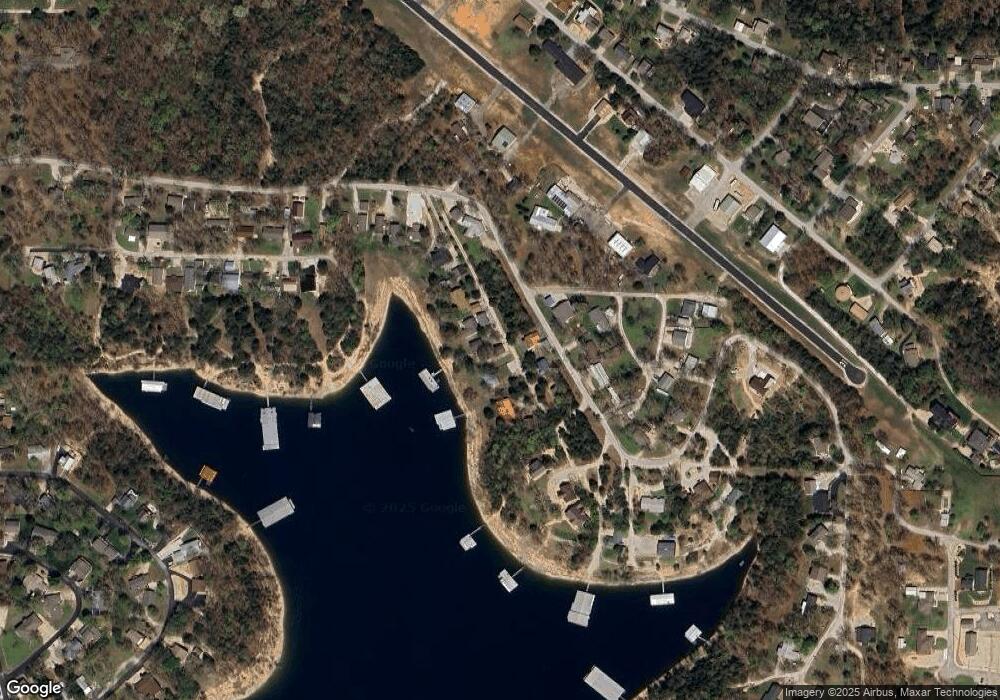
Map
Nearby Homes
- 532 Bonanza Dr
- 78 Elm Point Ln
- 139 Cherokee Dr
- 51 Cherokee Dr
- 90 Brandon Loop
- 214 / 196 Hoot Owl Point
- 64 Deer Park Cir
- 17 Montague Ln
- 201 Deer Park Cir
- 60 Montego Dr
- 574 Edgewater Estates
- 220 Bittersweet Cir
- 32 Homewood Ln
- 65 Royale Estates Rd Unit Lot 29
- 500 Navajo Trail
- 252 Settlers Cove
- 306 Settlers Cove
- 379 Navajo Trail
- Lot 4 Whitefish Bay
- Lot 14&20a Whitefish Bay
- 79 Sailboat Ln
- 1146 Hoot Owl Point
- 67 Sailboat Ln
- 124 Sailboat Ln
- 18 Ginny Loop
- 1024 Hoot Owl Point
- 1159 Hoot Owl Point
- 1056 Hoot Owl Point
- 153 Ginny Loop
- 153 Ginny Loop
- 1022 Hoot Owl Point
- 17 Ginny Loop
- 998 Hoot Owl Point
- 982 Hoot Owl Point
- 64 Ginny Loop
- 65 Ginny Loop
- 113 Ginny Loop
- 164 Busch Ave
- 960 Hoot Owl Point
- 93 Ginny Loop