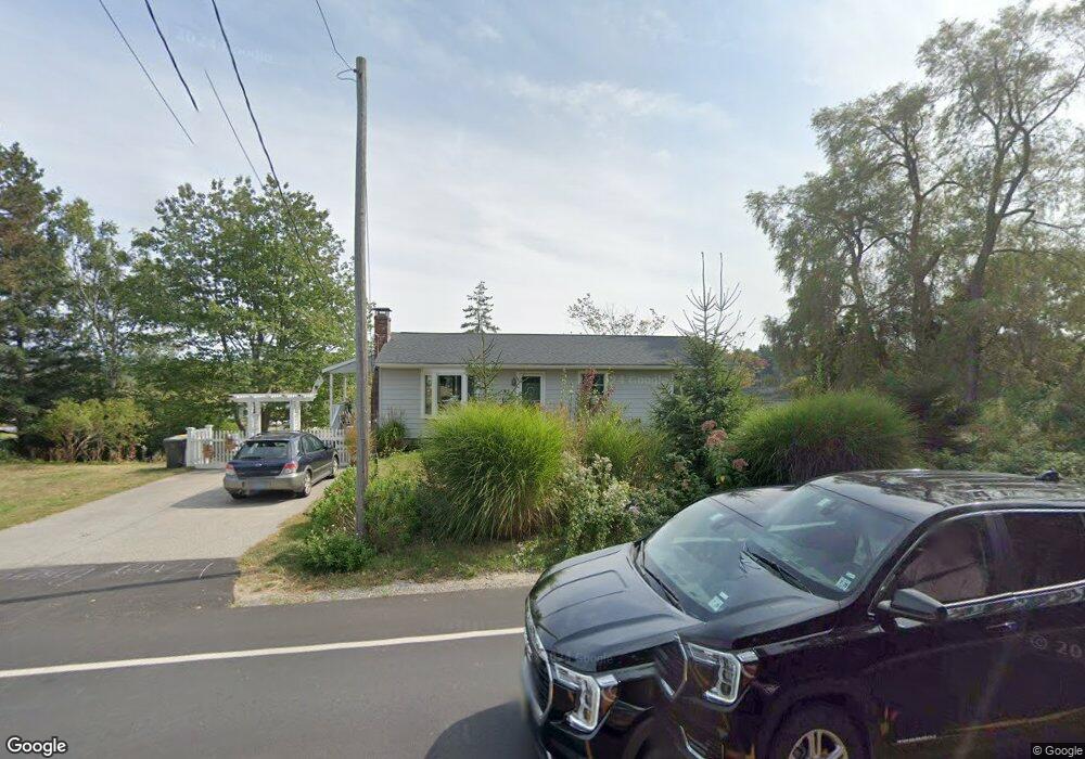
91 Spurwink Rd Scarborough, ME 04074
Estimated Value: $705,000 - $997,000
3
Beds
2
Baths
2,006
Sq Ft
$400/Sq Ft
Est. Value
About This Home
This home is located at 91 Spurwink Rd, Scarborough, ME 04074 and is currently estimated at $802,079, approximately $399 per square foot. 91 Spurwink Rd is a home located in Cumberland County with nearby schools including Scarborough High School.
Ownership History
Date
Name
Owned For
Owner Type
Purchase Details
Closed on
Jun 21, 2022
Sold by
Carlsen Olaf I and Carlsen Sebastian T
Bought by
Carlsen Autumn A
Current Estimated Value
Purchase Details
Closed on
Jul 24, 2013
Sold by
Max Stanley M and Picinich Susan E
Bought by
Carlsen Iver R
Home Financials for this Owner
Home Financials are based on the most recent Mortgage that was taken out on this home.
Original Mortgage
$212,000
Interest Rate
3.97%
Mortgage Type
Commercial
Create a Home Valuation Report for This Property
The Home Valuation Report is an in-depth analysis detailing your home's value as well as a comparison with similar homes in the area
Home Values in the Area
Average Home Value in this Area
Purchase History
| Date | Buyer | Sale Price | Title Company |
|---|---|---|---|
| Carlsen Autumn A | -- | None Available | |
| Carlsen Iver R | -- | -- |
Source: Public Records
Mortgage History
| Date | Status | Borrower | Loan Amount |
|---|---|---|---|
| Previous Owner | Carlsen Iver R | $212,000 |
Source: Public Records
Tax History Compared to Growth
Tax History
| Year | Tax Paid | Tax Assessment Tax Assessment Total Assessment is a certain percentage of the fair market value that is determined by local assessors to be the total taxable value of land and additions on the property. | Land | Improvement |
|---|---|---|---|---|
| 2025 | $6,331 | $558,800 | $319,100 | $239,700 |
| 2024 | $6,108 | $558,800 | $319,100 | $239,700 |
| 2023 | $5,845 | $366,000 | $203,200 | $162,800 |
| 2022 | $5,633 | $366,000 | $203,200 | $162,800 |
| 2021 | $5,497 | $366,000 | $203,200 | $162,800 |
| 2020 | $5,439 | $366,000 | $203,200 | $162,800 |
| 2019 | $5,380 | $366,000 | $203,200 | $162,800 |
| 2017 | $5,023 | $304,600 | $221,400 | $83,200 |
| 2016 | $4,849 | $304,600 | $221,400 | $83,200 |
| 2015 | $4,718 | $304,600 | $221,400 | $83,200 |
| 2014 | $4,599 | $304,600 | $221,400 | $83,200 |
| 2013 | -- | $350,400 | $245,400 | $105,000 |
Source: Public Records
Map
Nearby Homes
- 131 Spurwink Rd
- 2 Bayview Ave
- 2 White Sands Ln
- 162 Fogg Rd
- 1 Sandpiper Cove Rd
- 1 Quarry Rd
- 23 Plover Ln Unit 33
- 6 Atlantic Dr Unit 6
- 7 Atlantic Dr Unit 7
- 99 Quarry Rd
- 190 Pleasant Hill Rd
- 9 Coralburst Ln
- 1 Coralburst Ln
- Lot 5 Trestle Way
- 10 Highland Ave
- 9 Trestle Way
- 21 Blueberry Dr
- 17 Cross Hill Rd
- 52 Tamarack Dr
- 228 Deerwood St