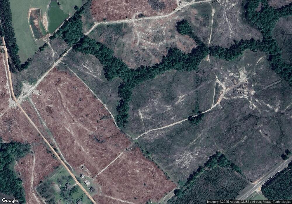
91 Tom Giddens Rd Eastman, GA 31023
Estimated Value: $425,118 - $516,000
--
Bed
2
Baths
2,327
Sq Ft
$202/Sq Ft
Est. Value
About This Home
This home is located at 91 Tom Giddens Rd, Eastman, GA 31023 and is currently estimated at $470,559, approximately $202 per square foot. 91 Tom Giddens Rd is a home located in Dodge County with nearby schools including Dodge County High School.
Ownership History
Date
Name
Owned For
Owner Type
Purchase Details
Closed on
Dec 27, 2019
Sold by
Tison Jane F
Bought by
Tison Farms Llc
Current Estimated Value
Purchase Details
Closed on
Dec 12, 2019
Sold by
Lee Margaret F Estate
Bought by
Tison Jane F and Tison Richard
Purchase Details
Closed on
Dec 2, 2019
Sold by
Lee Margaret F
Bought by
Fordham John Fielding
Purchase Details
Closed on
Apr 10, 2019
Sold by
Tison James H
Bought by
Tison Farms Llc
Purchase Details
Closed on
Jan 4, 2016
Sold by
Tison James H
Bought by
Tison Jane F
Purchase Details
Closed on
Nov 17, 2015
Sold by
Lee Margaret Ann F
Bought by
Tison James H
Purchase Details
Closed on
Dec 15, 1995
Bought by
Lee Margaret Anne F
Create a Home Valuation Report for This Property
The Home Valuation Report is an in-depth analysis detailing your home's value as well as a comparison with similar homes in the area
Home Values in the Area
Average Home Value in this Area
Purchase History
| Date | Buyer | Sale Price | Title Company |
|---|---|---|---|
| Tison Farms Llc | -- | -- | |
| Tison Jane F | -- | -- | |
| Fordham John Fielding | -- | -- | |
| Tison Farms Llc | -- | -- | |
| Tison Jane F | -- | -- | |
| Tison James H | $190,000 | -- | |
| Lee Margaret Anne F | -- | -- |
Source: Public Records
Tax History Compared to Growth
Tax History
| Year | Tax Paid | Tax Assessment Tax Assessment Total Assessment is a certain percentage of the fair market value that is determined by local assessors to be the total taxable value of land and additions on the property. | Land | Improvement |
|---|---|---|---|---|
| 2025 | $1,774 | $187,779 | $187,779 | $0 |
| 2024 | $1,811 | $140,755 | $140,755 | $0 |
| 2023 | $3,634 | $140,755 | $140,755 | $0 |
| 2022 | $1,692 | $120,226 | $120,226 | $0 |
| 2021 | $1,649 | $120,226 | $120,226 | $0 |
| 2020 | $1,457 | $86,148 | $86,148 | $0 |
| 2019 | $3,501 | $156,107 | $88,140 | $67,967 |
| 2018 | $3,989 | $156,107 | $88,140 | $67,967 |
| 2017 | $3,989 | $156,107 | $88,140 | $67,967 |
| 2016 | $3,019 | $157,271 | $88,140 | $69,131 |
| 2015 | -- | $190,165 | $124,778 | $65,387 |
| 2014 | -- | $183,095 | $116,569 | $66,526 |
| 2013 | -- | $183,095 | $116,569 | $66,526 |
Source: Public Records
Map
Nearby Homes
- 1940 Horne Rd
- 3422 Pat Mullis Rd
- 0 Middle Ground Church Rd
- 0 Jd Williams Rd
- 980 Mccook St
- 2846 Walnut St
- 2836 Walnut St
- LOT 2 Middle Ground Church Rd
- 931 Burch St
- 1021 Snow Hill Rd
- 0 Smith Rd
- 1169 Chester Alamo Hwy
- 632 Whittle Rd
- 2554 Georgia 117
- 3570 Georgia 338
- 1541 Bennett Colter Rd
- 0 Bennett Colter Rd Unit 10540575
- 0 Bennett Colter Rd Unit 25767774
- 0 Bennett Colter Rd Unit 10542243
- 3.72 ACRES Florence Gay Rd
