91 W 2nd St Newburg, MO 65550
Estimated Value: $57,800 - $125,000
1
Bed
1
Bath
807
Sq Ft
$96/Sq Ft
Est. Value
About This Home
This home is located at 91 W 2nd St, Newburg, MO 65550 and is currently estimated at $77,200, approximately $95 per square foot. 91 W 2nd St is a home with nearby schools including Newburg Elementary School and Newburg High School.
Ownership History
Date
Name
Owned For
Owner Type
Purchase Details
Closed on
Jan 23, 2023
Sold by
Anderson Jim and Anderson Deborah
Bought by
Jones Kevin
Current Estimated Value
Home Financials for this Owner
Home Financials are based on the most recent Mortgage that was taken out on this home.
Original Mortgage
$16,368
Outstanding Balance
$15,831
Interest Rate
6.27%
Mortgage Type
Construction
Estimated Equity
$61,369
Purchase Details
Closed on
Feb 5, 2018
Bought by
Anderson Jim and Anderson Deborah
Purchase Details
Closed on
May 11, 2016
Purchase Details
Closed on
Oct 22, 2010
Purchase Details
Closed on
May 10, 2010
Purchase Details
Closed on
Oct 30, 1994
Purchase Details
Closed on
Jun 19, 1975
Create a Home Valuation Report for This Property
The Home Valuation Report is an in-depth analysis detailing your home's value as well as a comparison with similar homes in the area
Home Values in the Area
Average Home Value in this Area
Purchase History
| Date | Buyer | Sale Price | Title Company |
|---|---|---|---|
| Jones Kevin | $16,040 | Other | |
| Anderson Jim | $5,400 | -- | |
| -- | -- | -- | |
| -- | -- | -- | |
| -- | -- | -- | |
| -- | -- | -- | |
| -- | -- | -- |
Source: Public Records
Mortgage History
| Date | Status | Borrower | Loan Amount |
|---|---|---|---|
| Open | Jones Kevin | $16,368 |
Source: Public Records
Tax History Compared to Growth
Tax History
| Year | Tax Paid | Tax Assessment Tax Assessment Total Assessment is a certain percentage of the fair market value that is determined by local assessors to be the total taxable value of land and additions on the property. | Land | Improvement |
|---|---|---|---|---|
| 2025 | $73 | $1,260 | $70 | $1,190 |
| 2024 | $66 | $1,100 | $20 | $1,080 |
| 2023 | $61 | $1,100 | $20 | $1,080 |
| 2022 | $61 | $1,100 | $20 | $1,080 |
| 2021 | $61 | $1,100 | $20 | $1,080 |
| 2020 | $61 | $1,100 | $20 | $1,080 |
| 2019 | $61 | $1,100 | $20 | $1,080 |
| 2018 | $60 | $1,100 | $20 | $1,080 |
| 2017 | $61 | $1,100 | $20 | $1,080 |
| 2016 | $60 | $1,100 | $20 | $1,080 |
| 2015 | -- | $1,100 | $20 | $1,080 |
| 2014 | -- | $1,100 | $20 | $1,080 |
| 2013 | -- | $1,100 | $0 | $0 |
Source: Public Records
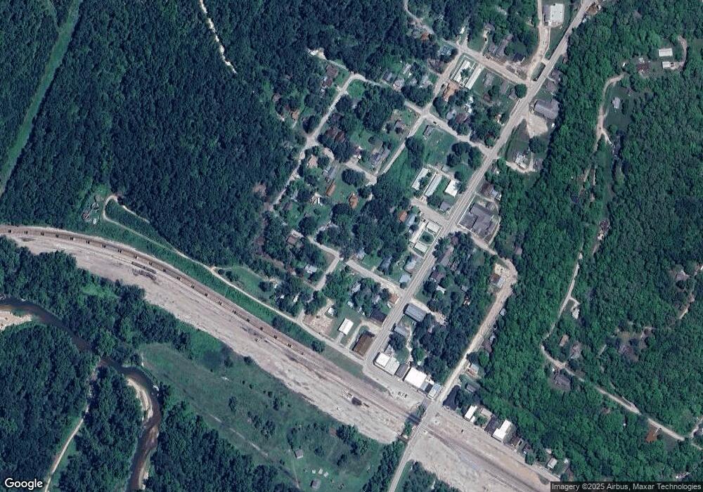
Map
Nearby Homes
- 40 W 2nd St
- 41 W 4th St
- 435 Main St
- 30 W 5th St
- 23294 State Highway T
- 570 Sycamore St
- 12715 State Route T
- 12715 State Highway T
- 875 Walnut St
- 791 Walnut St
- 870 Walnut St
- 353 Truman St
- 14240 State Highway T
- 211 Macarthur St
- 117 State Route C
- TBD M- Pool Holler Cave Rd
- 0 Schofer St Unit MAR25002689
- 17101 Cr 8190
- 363 Doolittle Outer Rd
- 0 Cr 8170 Unit MAR24016905