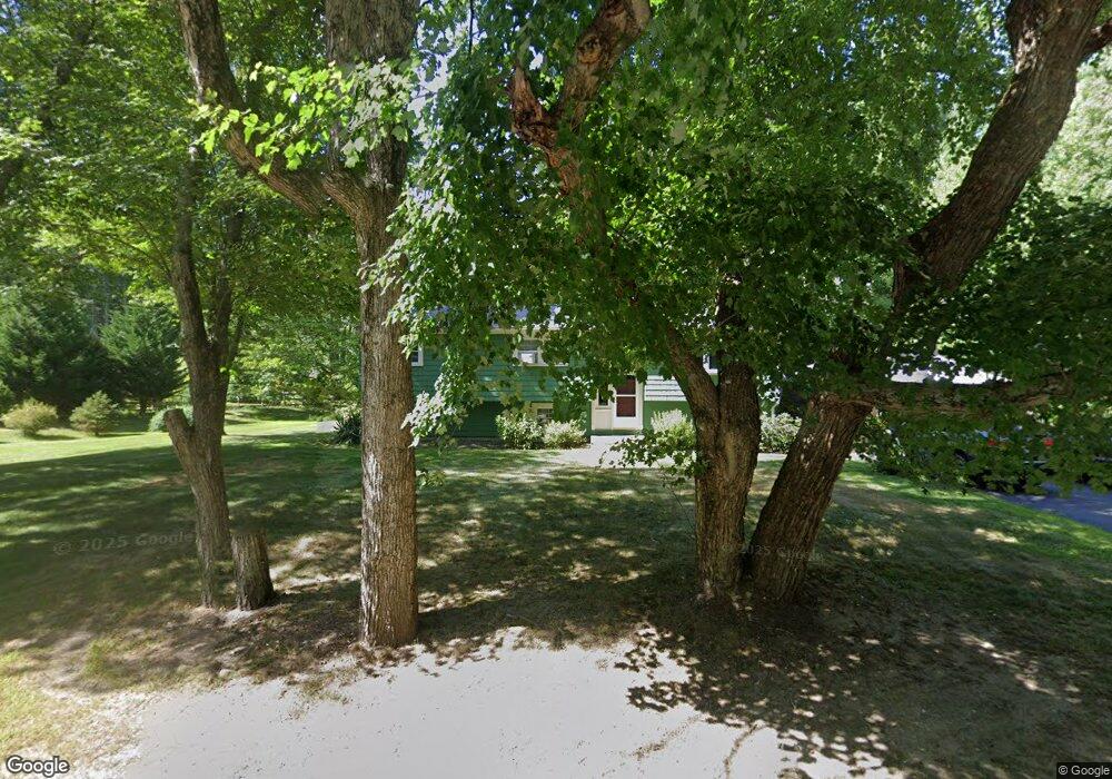
91 Water St Hanover, MA 02339
Estimated Value: $631,000 - $768,000
5
Beds
2
Baths
2,000
Sq Ft
$346/Sq Ft
Est. Value
About This Home
This home is located at 91 Water St, Hanover, MA 02339 and is currently estimated at $691,248, approximately $345 per square foot. 91 Water St is a home located in Plymouth County with nearby schools including Hanover High School, Cadence Academy Preschool - Hanover, and Cardinal Cushing Centers.
Ownership History
Date
Name
Owned For
Owner Type
Purchase Details
Closed on
Oct 29, 1999
Sold by
Hawthorne John M
Bought by
Stoddard Peter J and Stoddard Denise
Current Estimated Value
Home Financials for this Owner
Home Financials are based on the most recent Mortgage that was taken out on this home.
Original Mortgage
$179,900
Interest Rate
7.78%
Mortgage Type
Purchase Money Mortgage
Purchase Details
Closed on
Jun 4, 1999
Sold by
Hawthorne Verna K
Bought by
Hawthorne John M
Home Financials for this Owner
Home Financials are based on the most recent Mortgage that was taken out on this home.
Original Mortgage
$40,000
Interest Rate
6.85%
Mortgage Type
Purchase Money Mortgage
Create a Home Valuation Report for This Property
The Home Valuation Report is an in-depth analysis detailing your home's value as well as a comparison with similar homes in the area
Home Values in the Area
Average Home Value in this Area
Purchase History
| Date | Buyer | Sale Price | Title Company |
|---|---|---|---|
| Stoddard Peter J | $199,900 | -- | |
| Hawthorne John M | $40,000 | -- |
Source: Public Records
Mortgage History
| Date | Status | Borrower | Loan Amount |
|---|---|---|---|
| Open | Hawthorne John M | $184,000 | |
| Closed | Hawthorne John M | $179,900 | |
| Previous Owner | Hawthorne John M | $40,000 | |
| Closed | Hawthorne John M | $55,000 |
Source: Public Records
Tax History Compared to Growth
Tax History
| Year | Tax Paid | Tax Assessment Tax Assessment Total Assessment is a certain percentage of the fair market value that is determined by local assessors to be the total taxable value of land and additions on the property. | Land | Improvement |
|---|---|---|---|---|
| 2025 | $7,257 | $587,600 | $269,600 | $318,000 |
| 2024 | $7,260 | $565,400 | $269,600 | $295,800 |
| 2023 | $7,366 | $546,000 | $245,100 | $300,900 |
| 2022 | $7,383 | $484,100 | $232,800 | $251,300 |
| 2021 | $5,790 | $412,900 | $189,400 | $223,500 |
| 2020 | $6,853 | $420,200 | $200,500 | $219,700 |
| 2019 | $10,850 | $389,700 | $200,500 | $189,200 |
| 2018 | $6,284 | $386,000 | $200,500 | $185,500 |
| 2017 | $5,527 | $381,500 | $199,500 | $182,000 |
| 2016 | $6,127 | $363,400 | $181,400 | $182,000 |
| 2015 | $5,110 | $316,400 | $168,100 | $148,300 |
Source: Public Records
Map
Nearby Homes
- 180 Elm St
- 186 Elm St
- 114 Graham Hill Dr
- 7 Farmside Dr
- 28 Old Shipyard Ln
- 51 Cervelli Farm Dr
- 37 Dr
- 23 Cervelli Farm Dr
- 38 Cervelli Farm Dr
- 9 Cervelli Farm Dr
- 250 Center St
- 55 Shipyard Ln
- 136 W Elm St
- Lot 22 Adams Cir
- 20 Meadow Brook Rd
- 436 Center St
- 14 Longwood Ln Unit 14
- 15 Elm Place
- 172 Washington St
- 1251 Broadway