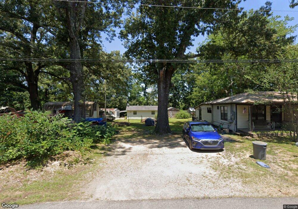
910 1/2 Reed Benton, AR 72015
Estimated Value: $110,000 - $158,000
--
Bed
1
Bath
1,488
Sq Ft
$84/Sq Ft
Est. Value
About This Home
This home is located at 910 1/2 Reed, Benton, AR 72015 and is currently estimated at $124,549, approximately $83 per square foot. 910 1/2 Reed is a home located in Saline County with nearby schools including Angie Grant Elementary School, Benton Middle School, and Benton Junior High School.
Ownership History
Date
Name
Owned For
Owner Type
Purchase Details
Closed on
Jan 30, 2019
Sold by
Reynolds William R and Reynolds Wanda L
Bought by
Krippendorf Carl Bruce
Current Estimated Value
Home Financials for this Owner
Home Financials are based on the most recent Mortgage that was taken out on this home.
Original Mortgage
$64,000
Outstanding Balance
$56,269
Interest Rate
4.6%
Mortgage Type
New Conventional
Estimated Equity
$68,280
Purchase Details
Closed on
Mar 1, 1999
Bought by
Reynolds
Purchase Details
Closed on
Feb 16, 1999
Bought by
Reynolds
Create a Home Valuation Report for This Property
The Home Valuation Report is an in-depth analysis detailing your home's value as well as a comparison with similar homes in the area
Home Values in the Area
Average Home Value in this Area
Purchase History
| Date | Buyer | Sale Price | Title Company |
|---|---|---|---|
| Krippendorf Carl Bruce | $80,000 | Lenders Title Company | |
| Reynolds | $19,000 | -- | |
| Reynolds | -- | -- |
Source: Public Records
Mortgage History
| Date | Status | Borrower | Loan Amount |
|---|---|---|---|
| Open | Krippendorf Carl Bruce | $64,000 |
Source: Public Records
Tax History Compared to Growth
Tax History
| Year | Tax Paid | Tax Assessment Tax Assessment Total Assessment is a certain percentage of the fair market value that is determined by local assessors to be the total taxable value of land and additions on the property. | Land | Improvement |
|---|---|---|---|---|
| 2025 | $562 | $10,150 | $2,000 | $8,150 |
| 2024 | $576 | $10,150 | $2,000 | $8,150 |
| 2023 | $562 | $10,150 | $2,000 | $8,150 |
| 2022 | $562 | $10,150 | $2,000 | $8,150 |
| 2021 | $570 | $10,290 | $1,000 | $9,290 |
| 2020 | $9 | $0 | $0 | $0 |
| 2019 | $9 | $10,290 | $1,000 | $9,290 |
| 2018 | $343 | $9,550 | $1,000 | $8,550 |
| 2017 | $352 | $9,550 | $1,000 | $8,550 |
| 2016 | $352 | $11,810 | $1,000 | $10,810 |
| 2015 | $348 | $11,810 | $1,000 | $10,810 |
| 2014 | $348 | $6,200 | $1,000 | $5,200 |
Source: Public Records
Map
Nearby Homes
- 00 S Neeley St
- 1121 Stewart
- 000 Palm St
- 712 S Border St
- 1304 Gray St
- 1707 Dixie
- 1105 S East St
- 1423 1/2 S East St
- 806 Columbia Ave
- 802 Columbia Ave
- Lot 10 Dale Road Acres
- Lot 9 Dale Road Acres
- Lot 8 Dale Road Acres
- 6 Acres S Beggs and I-30 Service Rd
- 001-09449-000 Prysock Rd
- 1502,1504&1520 Sorrel
- 000 Sorrell Rd
- 509 S 2nd St
- 507 Algood St
- 503 S 1st St