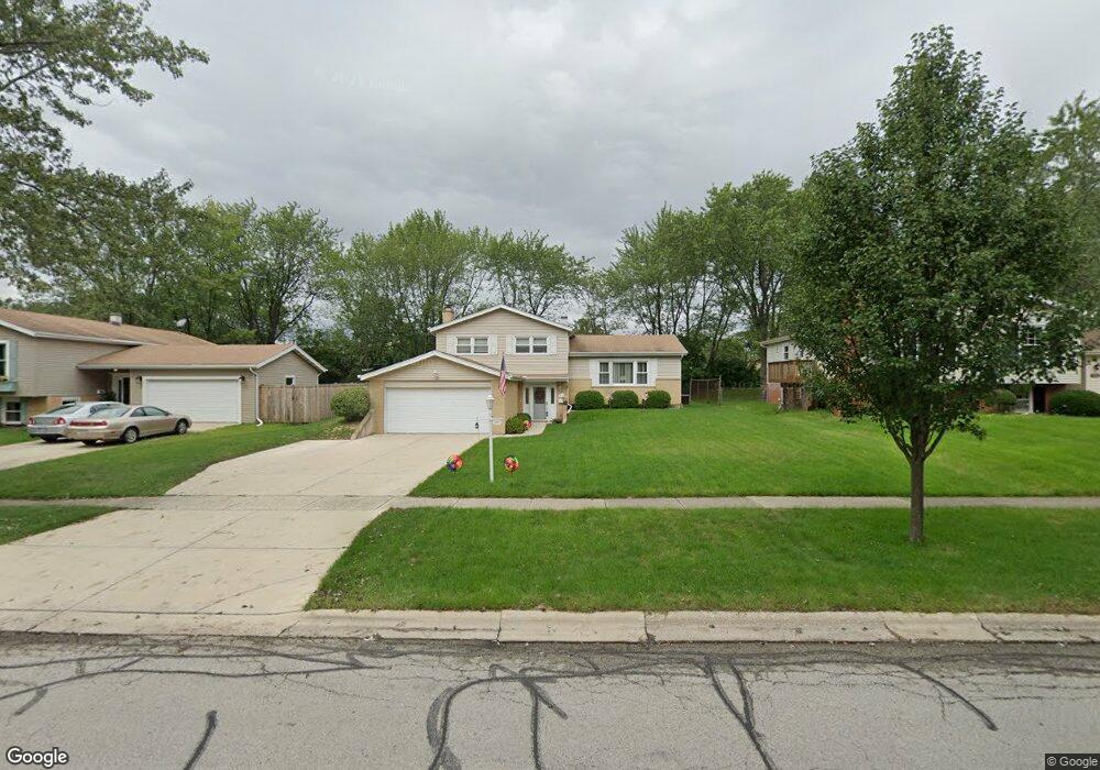
910 69th St Darien, IL 60561
Estimated Value: $376,430 - $481,000
Studio
--
Bath
1,128
Sq Ft
$393/Sq Ft
Est. Value
About This Home
This home is located at 910 69th St, Darien, IL 60561 and is currently estimated at $443,608, approximately $393 per square foot. 910 69th St is a home located in DuPage County with nearby schools including Mark Delay School, Lace Elementary School, and Eisenhower Jr High School.
Ownership History
Date
Name
Owned For
Owner Type
Purchase Details
Closed on
Apr 11, 2024
Sold by
Manley Noel A and Manley Claudia D
Bought by
Noel A Manley And Claudia D Manley Living Tru and Manley
Current Estimated Value
Purchase Details
Closed on
Mar 1, 1996
Sold by
Pedersen Karl J and Pedersen Sandra J
Bought by
Manley Noel A and Manley Claudia A
Home Financials for this Owner
Home Financials are based on the most recent Mortgage that was taken out on this home.
Original Mortgage
$144,000
Interest Rate
7.91%
Create a Home Valuation Report for This Property
The Home Valuation Report is an in-depth analysis detailing your home's value as well as a comparison with similar homes in the area
Home Values in the Area
Average Home Value in this Area
Purchase History
| Date | Buyer | Sale Price | Title Company |
|---|---|---|---|
| Noel A Manley And Claudia D Manley Living Tru | -- | None Listed On Document | |
| Manley Noel A | $174,500 | Attorneys Title Guaranty Fun |
Source: Public Records
Mortgage History
| Date | Status | Borrower | Loan Amount |
|---|---|---|---|
| Previous Owner | Manley Noel A | $144,000 |
Source: Public Records
Tax History
| Year | Tax Paid | Tax Assessment Tax Assessment Total Assessment is a certain percentage of the fair market value that is determined by local assessors to be the total taxable value of land and additions on the property. | Land | Improvement |
|---|---|---|---|---|
| 2024 | -- | $117,069 | $45,916 | $71,153 |
| 2023 | $6,761 | $107,620 | $42,210 | $65,410 |
| 2022 | $6,654 | $105,400 | $41,340 | $64,060 |
| 2021 | $6,401 | $104,200 | $40,870 | $63,330 |
| 2020 | $6,314 | $102,140 | $40,060 | $62,080 |
| 2019 | $6,101 | $98,010 | $38,440 | $59,570 |
| 2018 | $5,707 | $92,760 | $38,250 | $54,510 |
| 2017 | $5,649 | $89,260 | $36,810 | $52,450 |
| 2016 | $5,499 | $85,190 | $35,130 | $50,060 |
| 2015 | $5,417 | $80,150 | $33,050 | $47,100 |
| 2014 | $5,105 | $75,330 | $32,130 | $43,200 |
| 2013 | $4,934 | $74,980 | $31,980 | $43,000 |
Source: Public Records
Map
Nearby Homes
- 6808 Scotch Pine Trail
- 1013 Torrey Pines Ct
- 1109 Ponderosa Ct
- 1061 Sean Cir
- 1117 Bristlecone Ct
- 1156 Bristlecone Ct
- 18W089 Claremont Dr
- 6136 Bentley Ave
- 7209 Grant St
- 1543 Apple Grove Ln
- 1515 Apple Grove Ln
- 18W025 73rd St
- 47 W Pier Dr Unit 102
- 6925 Clarendon Hills Rd
- 73 W Pier Dr Unit 201
- 107 65th Lake Dr Unit 202
- 1313 Cass Ln E Unit 302
- 7525 Nantucket Dr Unit 210
- 714 Walnut Dr Unit 205
- 6503 Clarendon Hills Rd
Your Personal Tour Guide
Ask me questions while you tour the home.