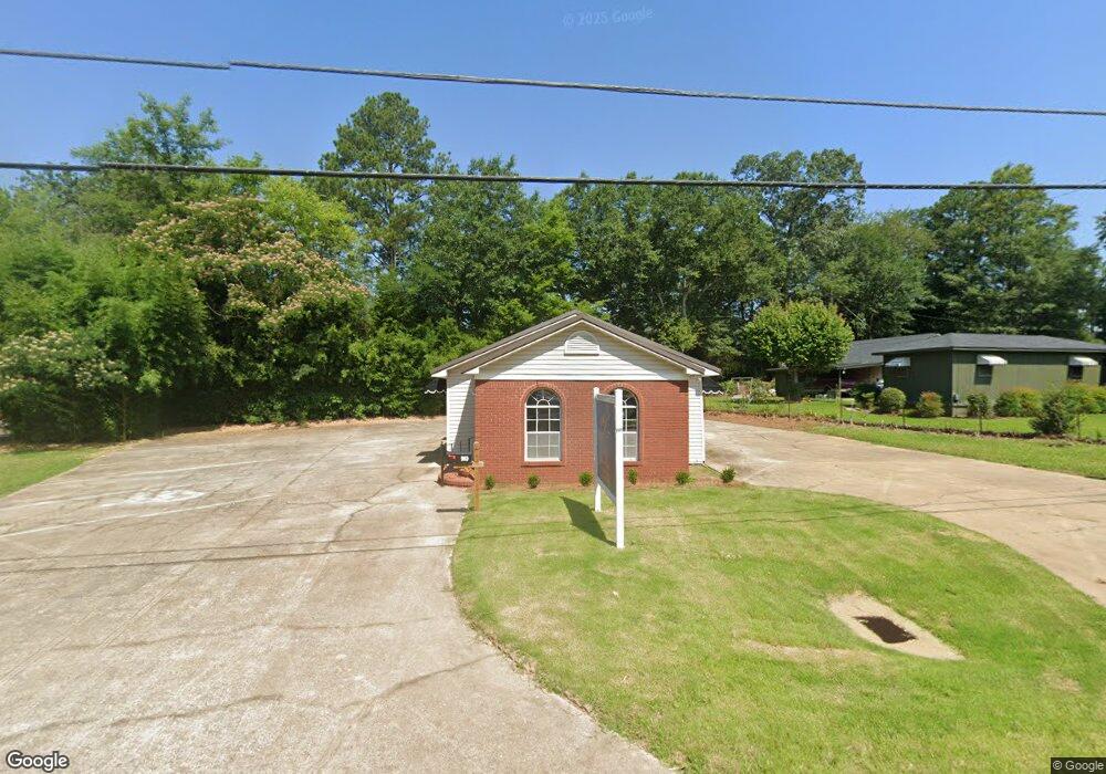
910 Airport Rd S Jasper, AL 35501
Estimated Value: $167,105 - $232,000
Studio
2
Baths
920
Sq Ft
$219/Sq Ft
Est. Value
About This Home
This home is located at 910 Airport Rd S, Jasper, AL 35501 and is currently estimated at $201,026, approximately $218 per square foot. 910 Airport Rd S is a home located in Walker County with nearby schools including T. R. Simmons Elementary School, Maddox Intermediate School, and Memorial Park Elementary School.
Ownership History
Date
Name
Owned For
Owner Type
Purchase Details
Closed on
Feb 8, 2013
Sold by
Rainer Kerry and Rainer Julie
Bought by
Rainer Anong Jones
Current Estimated Value
Purchase Details
Closed on
Mar 1, 2011
Sold by
Rainer Anong Jones and Jones Anong
Bought by
Rainer Kerry and Rainer Julie
Home Financials for this Owner
Home Financials are based on the most recent Mortgage that was taken out on this home.
Original Mortgage
$66,300
Interest Rate
4.77%
Create a Home Valuation Report for This Property
The Home Valuation Report is an in-depth analysis detailing your home's value as well as a comparison with similar homes in the area
Home Values in the Area
Average Home Value in this Area
Purchase History
| Date | Buyer | Sale Price | Title Company |
|---|---|---|---|
| Rainer Anong Jones | -- | -- | |
| Rainer Kerry | -- | -- |
Source: Public Records
Mortgage History
| Date | Status | Borrower | Loan Amount |
|---|---|---|---|
| Previous Owner | Rainer Kerry | $66,300 |
Source: Public Records
Tax History
| Year | Tax Paid | Tax Assessment Tax Assessment Total Assessment is a certain percentage of the fair market value that is determined by local assessors to be the total taxable value of land and additions on the property. | Land | Improvement |
|---|---|---|---|---|
| 2024 | $1,110 | $27,760 | $1,800 | $25,960 |
| 2023 | $1,110 | $24,780 | $1,800 | $22,980 |
| 2022 | $875 | $21,880 | $1,800 | $20,080 |
| 2021 | $854 | $20,140 | $1,800 | $18,340 |
| 2020 | $806 | $20,140 | $1,800 | $18,340 |
| 2019 | $770 | $19,260 | $1,800 | $17,460 |
| 2018 | $278 | $8,040 | $900 | $7,140 |
| 2017 | $278 | $8,040 | $900 | $7,140 |
| 2016 | $278 | $8,040 | $900 | $7,140 |
| 2015 | $264 | $7,700 | $900 | $6,800 |
| 2014 | $279 | $8,080 | $900 | $7,180 |
| 2013 | $646 | $16,160 | $1,800 | $14,360 |
Source: Public Records
Map
Nearby Homes
- 1209 Alabama Ave
- 919 Pine St
- 0 Airport Rd S Unit 14-1278
- 0 Airport Rd S Unit 14-1276
- 0 Airport Rd S Unit 11400018
- 0 Airport Rd S Unit 14-1277
- 707 S 4th Ave
- 0 Alabama Ave
- 707 Highland Ave
- 607 Highland Ave
- 1512 Alabama Ave
- 304 6th St W
- 604 4th Ave S
- 407 Glenview Dr
- 1304 5th Ave S
- 508 Glenview Dr
- 515 Glenview Dr
- 1112 6th Ave S
- 508 5th Ave S
- 1506 Gamble Ave
- 908 Airport Rd S
- 915 Birmingham Ave
- 912 Birmingham Ave
- 1001 Alabama Ave
- 1001 Alabama Ave
- 904 Airport Rd S
- 905 Birmingham Ave
- 911 Birmingham Ave
- 1201 Alabama Ave
- 906 Birmingham Ave
- 906 Birmingham Ave
- 14 Wright St
- 1203 Alabama Ave
- 1106 Engel Cir
- 916 Birmingham Ave
- 16 Wright St
- 1205 Alabama Ave
- 6 Best St
- 908 Birmingham Ave
- 8 Best St
Your Personal Tour Guide
Ask me questions while you tour the home.