Estimated Value: $533,916 - $572,000
5
Beds
4
Baths
3,094
Sq Ft
$180/Sq Ft
Est. Value
About This Home
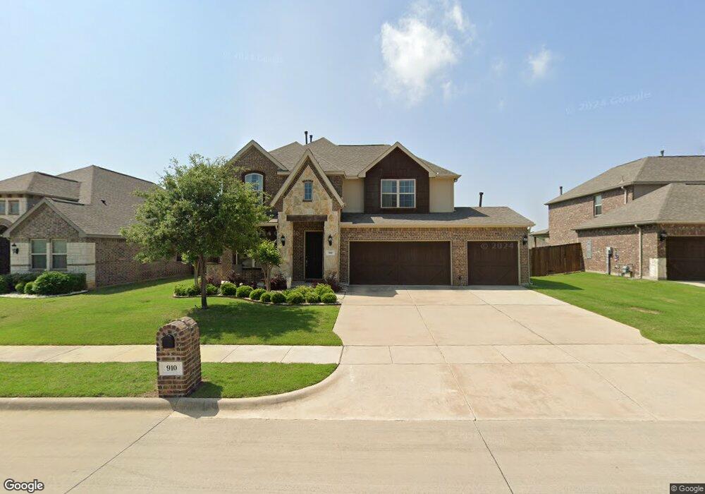
This home is located at 910 Birchwood Dr, Wylie, TX 75098 and is currently estimated at $555,979, approximately $179 per square foot. 910 Birchwood Dr is a home with nearby schools including P M Akin Elementary School, AB Harrison Intermediate School, and Grady Burnett J High School.
Ownership History
Date
Name
Owned For
Owner Type
Purchase Details
Closed on
Oct 20, 2016
Sold by
Gehan Homes Ltd
Bought by
Slocum Robin Christie and Slocum James Christopher
Current Estimated Value
Home Financials for this Owner
Home Financials are based on the most recent Mortgage that was taken out on this home.
Original Mortgage
$295,766
Outstanding Balance
$237,412
Interest Rate
3.5%
Mortgage Type
New Conventional
Estimated Equity
$318,567
Create a Home Valuation Report for This Property
The Home Valuation Report is an in-depth analysis detailing your home's value as well as a comparison with similar homes in the area
Home Values in the Area
Average Home Value in this Area
Purchase History
| Date | Buyer | Sale Price | Title Company |
|---|---|---|---|
| Slocum Robin Christie | -- | Empire Title Company Ltd |
Source: Public Records
Mortgage History
| Date | Status | Borrower | Loan Amount |
|---|---|---|---|
| Open | Slocum Robin Christie | $295,766 |
Source: Public Records
Tax History Compared to Growth
Tax History
| Year | Tax Paid | Tax Assessment Tax Assessment Total Assessment is a certain percentage of the fair market value that is determined by local assessors to be the total taxable value of land and additions on the property. | Land | Improvement |
|---|---|---|---|---|
| 2025 | $9,087 | $547,219 | $130,000 | $417,219 |
| 2024 | $9,087 | $527,970 | $130,000 | $421,863 |
| 2023 | $9,087 | $479,973 | $110,000 | $432,147 |
| 2022 | $9,573 | $436,339 | $110,000 | $373,748 |
| 2021 | $9,333 | $396,672 | $80,000 | $316,672 |
| 2020 | $9,084 | $365,848 | $80,000 | $285,848 |
| 2019 | $10,023 | $381,431 | $80,000 | $301,431 |
| 2018 | $10,085 | $374,494 | $80,000 | $294,494 |
| 2017 | $9,937 | $368,989 | $80,000 | $288,989 |
| 2016 | $1,537 | $55,320 | $55,320 | $0 |
Source: Public Records
Map
Nearby Homes
- 304 Hawthorn Dr
- 310 Hawthorn Dr
- 114 Liberty Dr
- 207 Spence Dr
- 409 Cedar Ridge Dr
- 213 N West A Allen Blvd
- 216 Cedar Ridge St
- 104 Rushcreek Dr
- 825 Foxwood Ln
- 1056 Fairview Dr
- 820 Foxwood Ln
- 104 N 5th St
- 1209 Surrey Cir
- 825 Forest Edge Ln
- 811 Forest Edge Ln
- 107 Windy Knoll Ln
- 306 Foxwood Ct
- 306 Woodhollow Ct
- 300 Woodhollow Ct
- 1022 Debby Ct
- 912 Birchwood Dr
- 908 Birchwood Dr
- 911 Redwood Ct
- 913 Redwood Ct
- 909 Redwood Ct
- 906 Birchwood Dr
- 914 Birchwood Dr
- 915 Redwood Ct
- 913 Birchwood Dr
- 907 Redwood Ct
- 915 Birchwood Dr
- 911 Birchwood Dr
- 904 Birchwood Dr
- 916 Birchwood Dr
- 303 Birchwood Dr
- 909 Birchwood Dr
- 917 Redwood Ct
- 905 Redwood Ct
- 902 Birchwood Dr
- 907 Birchwood Dr