910 Cedar Ridge Ln Deland, FL 32720
North DeLand NeighborhoodEstimated Value: $394,000 - $499,000
3
Beds
3
Baths
3,434
Sq Ft
$134/Sq Ft
Est. Value
About This Home
This home is located at 910 Cedar Ridge Ln, Deland, FL 32720 and is currently estimated at $460,746, approximately $134 per square foot. 910 Cedar Ridge Ln is a home located in Volusia County with nearby schools including Citrus Grove Elementary, Deland High School, and Deland Middle School.
Ownership History
Date
Name
Owned For
Owner Type
Purchase Details
Closed on
Mar 25, 2014
Sold by
Fannie Mae
Bought by
Price Harry L and Price Joyce S D
Current Estimated Value
Home Financials for this Owner
Home Financials are based on the most recent Mortgage that was taken out on this home.
Original Mortgage
$100,000
Interest Rate
10%
Mortgage Type
Stand Alone First
Purchase Details
Closed on
Jul 9, 2013
Sold by
Obrien Michael C and Obrien Illiana
Bought by
Fannie Mae
Purchase Details
Closed on
Aug 30, 1996
Sold by
Rasnick Byrl and Rasnick Marione
Bought by
Fremo Joan C
Home Financials for this Owner
Home Financials are based on the most recent Mortgage that was taken out on this home.
Original Mortgage
$10,000
Interest Rate
8.17%
Purchase Details
Closed on
Feb 15, 1980
Bought by
Price Harry L and Price Joyce S
Create a Home Valuation Report for This Property
The Home Valuation Report is an in-depth analysis detailing your home's value as well as a comparison with similar homes in the area
Home Values in the Area
Average Home Value in this Area
Purchase History
| Date | Buyer | Sale Price | Title Company |
|---|---|---|---|
| Price Harry L | $207,000 | Reo Title Company Of Fl Llc | |
| Fannie Mae | -- | None Available | |
| Fremo Joan C | $99,000 | -- | |
| Price Harry L | $12,500 | -- |
Source: Public Records
Mortgage History
| Date | Status | Borrower | Loan Amount |
|---|---|---|---|
| Closed | Price Harry L | $100,000 | |
| Previous Owner | Fremo Joan C | $10,000 |
Source: Public Records
Tax History Compared to Growth
Tax History
| Year | Tax Paid | Tax Assessment Tax Assessment Total Assessment is a certain percentage of the fair market value that is determined by local assessors to be the total taxable value of land and additions on the property. | Land | Improvement |
|---|---|---|---|---|
| 2025 | $3,333 | $222,082 | -- | -- |
| 2024 | $3,333 | $215,824 | -- | -- |
| 2023 | $3,333 | $209,538 | $0 | $0 |
| 2022 | $3,268 | $203,435 | $0 | $0 |
| 2021 | $3,386 | $197,510 | $0 | $0 |
| 2020 | $3,337 | $194,783 | $0 | $0 |
| 2019 | $3,445 | $190,404 | $0 | $0 |
| 2018 | $3,438 | $186,854 | $0 | $0 |
| 2017 | $3,446 | $183,011 | $0 | $0 |
| 2016 | $3,294 | $179,247 | $0 | $0 |
| 2015 | $3,359 | $178,001 | $0 | $0 |
| 2014 | $4,738 | $196,743 | $0 | $0 |
Source: Public Records
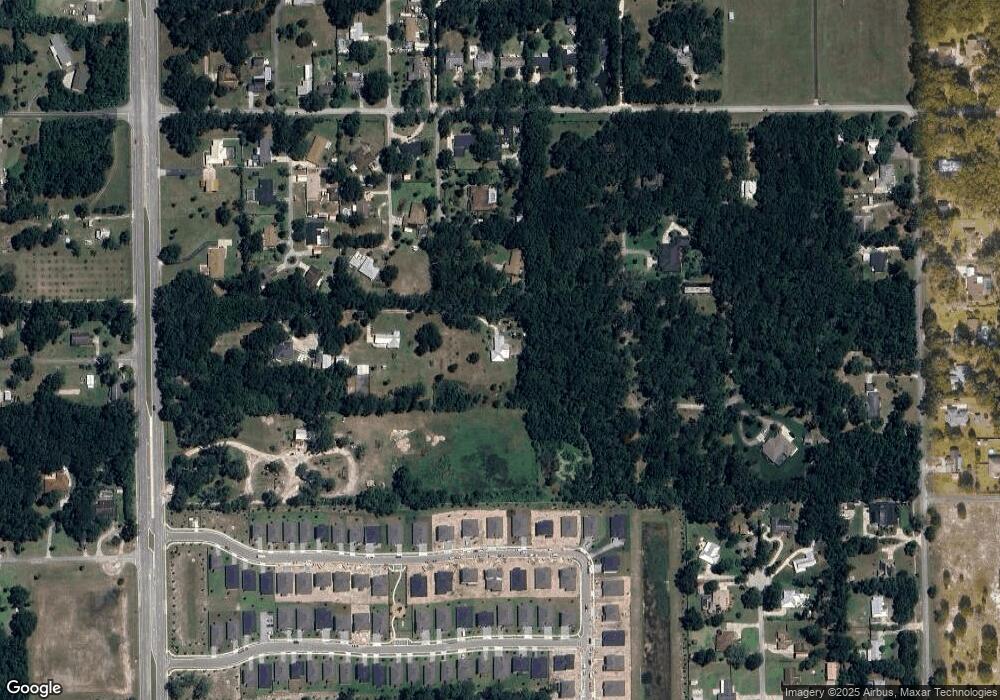
Map
Nearby Homes
- 887 Asterfield Ln
- 882 Asterfield Ln
- 865 Asterfield Ln
- 1937 N Spring Garden Ave
- 897 Honey Petal Ln
- 903 Honey Petal Ln
- 1110 Mercers Fernery Rd
- 975 Rolling Acres Dr
- 2172 N Spring Garden Ave
- 2285 Wilmhurst Rd
- 580 Mercers Fernery Rd
- 1221 Bramley Ln
- 1224 Bexley Ct
- 1260 Bramley Ln
- 0 Greens Dairy Rd Unit 1216610
- 0 Oak Valley Dr
- 753 Glenwood Rd
- 425 Mercers Fernery Rd
- 0 Vacant Land Unit MFRA4667659
- 0 Vacant Land Unit MFRGC533353
- 980 Cedar Ridge Ln
- 902 Mercers Fernery Rd
- 2050 Tanglewood Ln
- 906 Mercers Fernery Rd
- 2071 Tanglewood Ln
- 877 Asterfield Ln
- 879 Asterfield Ln
- 875 Asterfield Ln
- 1755 Woodcrest Ln
- 873 Asterfield Ln
- 881 Asterfield Ln
- 2070 Tanglewood Ln
- 883 Asterfield Ln
- 871 Asterfield Ln
- 885 Asterfield Ln
- 1010 Cedar Ridge Ln
- 869 Asterfield Ln
- 1765 Woodcrest Ln
- 910 Mercers Fernery Rd
- 920 Mercers Fernery Rd