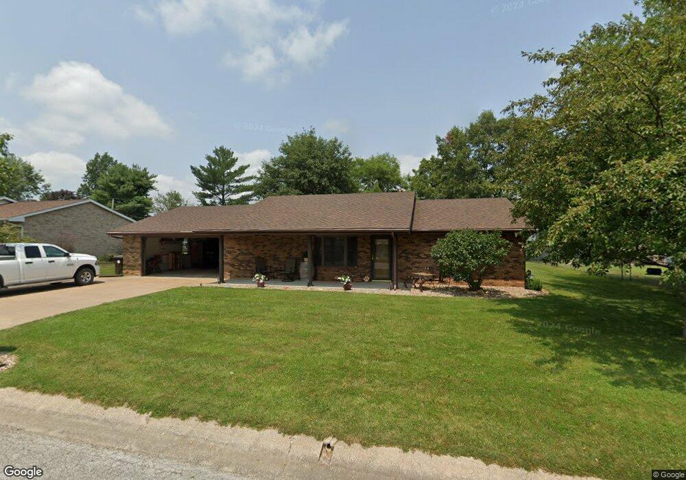
910 David Ave Palmyra, MO 63461
Estimated Value: $197,000 - $276,000
2
Beds
2
Baths
1,408
Sq Ft
$172/Sq Ft
Est. Value
About This Home
This home is located at 910 David Ave, Palmyra, MO 63461 and is currently estimated at $242,454, approximately $172 per square foot. 910 David Ave is a home located in Marion County with nearby schools including Palmyra Elementary School, Palmyra Middle School, and Palmyra High School.
Ownership History
Date
Name
Owned For
Owner Type
Purchase Details
Closed on
Feb 23, 2012
Sold by
Thornton Jean A
Bought by
Sears Carrie E
Current Estimated Value
Home Financials for this Owner
Home Financials are based on the most recent Mortgage that was taken out on this home.
Original Mortgage
$81,500
Outstanding Balance
$55,248
Interest Rate
4.05%
Mortgage Type
New Conventional
Estimated Equity
$187,206
Purchase Details
Closed on
Sep 30, 2009
Sold by
Knapp Kenneth D and Knapp Phyllis
Bought by
Sears Carrie E and Thornton Jean A
Home Financials for this Owner
Home Financials are based on the most recent Mortgage that was taken out on this home.
Original Mortgage
$82,000
Interest Rate
5.1%
Mortgage Type
New Conventional
Create a Home Valuation Report for This Property
The Home Valuation Report is an in-depth analysis detailing your home's value as well as a comparison with similar homes in the area
Home Values in the Area
Average Home Value in this Area
Purchase History
| Date | Buyer | Sale Price | Title Company |
|---|---|---|---|
| Sears Carrie E | -- | None Available | |
| Sears Carrie E | -- | None Available |
Source: Public Records
Mortgage History
| Date | Status | Borrower | Loan Amount |
|---|---|---|---|
| Open | Sears Carrie E | $81,500 | |
| Previous Owner | Sears Carrie E | $82,000 |
Source: Public Records
Tax History
| Year | Tax Paid | Tax Assessment Tax Assessment Total Assessment is a certain percentage of the fair market value that is determined by local assessors to be the total taxable value of land and additions on the property. | Land | Improvement |
|---|---|---|---|---|
| 2025 | $1,800 | $30,460 | $4,690 | $25,770 |
| 2024 | $1,651 | $27,690 | $4,260 | $23,430 |
| 2023 | $1,654 | $27,690 | $4,260 | $23,430 |
| 2022 | $1,652 | $27,690 | $4,260 | $23,430 |
| 2021 | $1,652 | $27,690 | $4,260 | $23,430 |
| 2020 | $1,529 | $25,180 | $3,880 | $21,300 |
| 2019 | $1,532 | $25,180 | $3,880 | $21,300 |
| 2018 | $1,530 | $25,180 | $3,880 | $21,300 |
| 2017 | $1,251 | $25,180 | $3,880 | $21,300 |
| 2015 | $1,325 | $25,180 | $3,880 | $21,300 |
| 2014 | $1,325 | $25,180 | $3,880 | $21,300 |
| 2012 | -- | $25,180 | $0 | $0 |
Source: Public Records
Map
Nearby Homes
- 624 W New St
- 302 Logan St
- 318 S Breckenridge Ave
- 318 W New St
- 320 W Elm St
- 201 W Massie St
- 116 W Jackson St
- 222 W Jefferson St
- 323 W Ross St
- 118 E Elm St
- 815 N Dickerson St
- 920 S Spring St
- 1213 Martha St
- 1309 Martha St
- 315 Janet Trail
- 4335 Weatherstone
- 1 Janet Trail
- 4727 Walnut Creek Dr
- 3721 Hawk Point
- 9019 Idell Creek Ln
- 918 David Ave
- 206 N Buchanan Ave
- 909 W New St
- 218 N Buchanan Ave
- 917 David Ave
- 903 David Ave
- 917 W New St
- 1002 David Ave
- 1001 David Ave
- 1001 W New St
- 215 N Buchanan Ave
- 211 N Buchanan Ave
- 117 N Buchanan Ave
- 1010 David Ave
- 219 N Buchanan Ave
- 910 Sloan Ave
- 902 Sloan Ave
- 1009 David Ave
- 1009 W New St
- 918 Sloan Ave
Your Personal Tour Guide
Ask me questions while you tour the home.