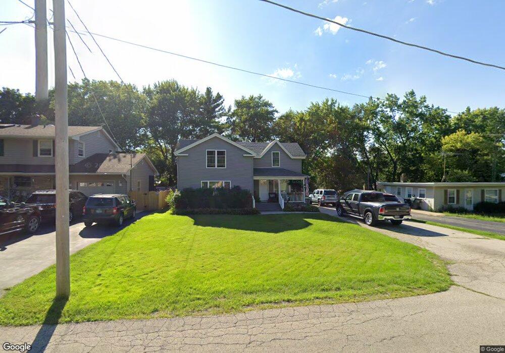
910 David St Antioch, IL 60002
Estimated Value: $264,310 - $328,000
4
Beds
2
Baths
1,770
Sq Ft
$166/Sq Ft
Est. Value
About This Home
This home is located at 910 David St, Antioch, IL 60002 and is currently estimated at $293,578, approximately $165 per square foot. 910 David St is a home located in Lake County with nearby schools including Antioch Community High School.
Ownership History
Date
Name
Owned For
Owner Type
Purchase Details
Closed on
May 29, 1998
Sold by
Gant Billy L and Gant Evelyn R
Bought by
Lindgren Philip H and Lindgren Barbara A
Current Estimated Value
Home Financials for this Owner
Home Financials are based on the most recent Mortgage that was taken out on this home.
Original Mortgage
$129,244
Interest Rate
7.07%
Mortgage Type
FHA
Create a Home Valuation Report for This Property
The Home Valuation Report is an in-depth analysis detailing your home's value as well as a comparison with similar homes in the area
Home Values in the Area
Average Home Value in this Area
Purchase History
| Date | Buyer | Sale Price | Title Company |
|---|---|---|---|
| Lindgren Philip H | $130,000 | -- |
Source: Public Records
Mortgage History
| Date | Status | Borrower | Loan Amount |
|---|---|---|---|
| Previous Owner | Lindgren Philip H | $129,244 |
Source: Public Records
Tax History
| Year | Tax Paid | Tax Assessment Tax Assessment Total Assessment is a certain percentage of the fair market value that is determined by local assessors to be the total taxable value of land and additions on the property. | Land | Improvement |
|---|---|---|---|---|
| 2024 | $5,867 | $68,463 | $6,569 | $61,894 |
| 2023 | $5,393 | $61,303 | $5,882 | $55,421 |
| 2022 | $5,393 | $54,014 | $7,948 | $46,066 |
| 2021 | $4,980 | $50,400 | $7,416 | $42,984 |
| 2020 | $4,870 | $49,008 | $7,211 | $41,797 |
| 2019 | $4,929 | $46,866 | $6,896 | $39,970 |
| 2018 | $4,643 | $45,349 | $8,377 | $36,972 |
| 2017 | $4,592 | $43,165 | $7,974 | $35,191 |
| 2016 | $4,465 | $41,657 | $7,695 | $33,962 |
| 2015 | $4,351 | $40,597 | $7,499 | $33,098 |
| 2014 | $5,755 | $47,793 | $14,022 | $33,771 |
| 2012 | $5,645 | $49,570 | $14,022 | $35,548 |
Source: Public Records
Map
Nearby Homes
- 0 Highview Dr Unit MRD11912210
- 465 Poplar Ave
- 587 Phillips Cir
- 1209 Bayshore Dr Unit 2
- 289 Chestnut St
- 0 Anita Ave Unit MRD12354735
- 770 Anita Ave
- 1031 Illinois 173
- 316 Buena Terrace
- 25118 W Catherine Ave
- 1207 Main St
- 1303 Morning Dove Ln
- 1338 Quail Ct
- 380 Johelia Trail
- 25174 W Claridan Ave
- 152 E Depot St
- 1375 Heron Dr Unit 1
- 1137 Oak Point Ct
- 68 Burnette Dr
- 42425 N Park Ln
- 912 David St
- 908 David St
- 914 David St
- 906 David St
- 875 Hillandale Dr
- 865 Hillandale Dr
- 881 Hillandale Dr
- 859 Hillandale Dr
- 916 David St
- 909 David St
- 911 David St
- 612 Orchard St
- 887 Hillandale Dr
- 913 David St
- 849 Hillandale Dr
- 915 David St
- 918 David St
- 608 Orchard St
- 895 Hillandale Dr
- 841 Hillandale Dr
Your Personal Tour Guide
Ask me questions while you tour the home.