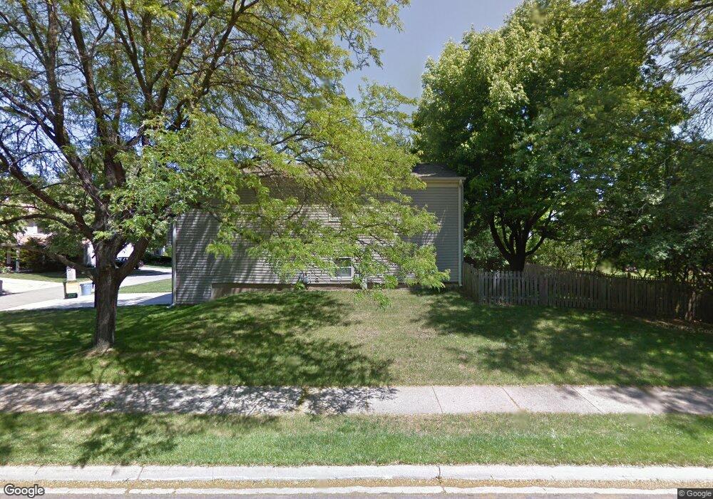
910 Knollwood Dr Unit 1 Buffalo Grove, IL 60089
Prairie Park-Lake County NeighborhoodEstimated Value: $462,176 - $539,000
--
Bed
3
Baths
1,670
Sq Ft
$299/Sq Ft
Est. Value
About This Home
This home is located at 910 Knollwood Dr Unit 1, Buffalo Grove, IL 60089 and is currently estimated at $498,794, approximately $298 per square foot. 910 Knollwood Dr Unit 1 is a home located in Lake County with nearby schools including Prairie Elementary School, Twin Groves Middle School, and Adlai E Stevenson High School.
Ownership History
Date
Name
Owned For
Owner Type
Purchase Details
Closed on
Aug 21, 1996
Sold by
Lieber Norman W
Bought by
Harris Howard S and Harris Carolyn E
Current Estimated Value
Home Financials for this Owner
Home Financials are based on the most recent Mortgage that was taken out on this home.
Original Mortgage
$135,000
Outstanding Balance
$10,728
Interest Rate
8.27%
Estimated Equity
$488,066
Create a Home Valuation Report for This Property
The Home Valuation Report is an in-depth analysis detailing your home's value as well as a comparison with similar homes in the area
Home Values in the Area
Average Home Value in this Area
Purchase History
| Date | Buyer | Sale Price | Title Company |
|---|---|---|---|
| Harris Howard S | $197,000 | Republic Title Company |
Source: Public Records
Mortgage History
| Date | Status | Borrower | Loan Amount |
|---|---|---|---|
| Open | Harris Howard S | $135,000 |
Source: Public Records
Tax History Compared to Growth
Tax History
| Year | Tax Paid | Tax Assessment Tax Assessment Total Assessment is a certain percentage of the fair market value that is determined by local assessors to be the total taxable value of land and additions on the property. | Land | Improvement |
|---|---|---|---|---|
| 2024 | $11,716 | $136,003 | $33,246 | $102,757 |
| 2023 | $11,699 | $122,218 | $29,876 | $92,342 |
| 2022 | $11,699 | $118,197 | $28,893 | $89,304 |
| 2021 | $11,255 | $116,922 | $28,581 | $88,341 |
| 2020 | $10,990 | $117,321 | $28,679 | $88,642 |
| 2019 | $10,839 | $116,888 | $28,573 | $88,315 |
| 2018 | $10,445 | $116,272 | $28,239 | $88,033 |
| 2017 | $10,246 | $113,558 | $27,580 | $85,978 |
| 2016 | $9,976 | $108,741 | $26,410 | $82,331 |
| 2015 | $9,707 | $101,693 | $24,698 | $76,995 |
| 2014 | $9,314 | $96,502 | $26,527 | $69,975 |
| 2012 | $9,027 | $96,695 | $26,580 | $70,115 |
Source: Public Records
Map
Nearby Homes
- 890 Knollwood Dr
- 1265 Devonshire Rd
- 327 Lasalle Ln
- 1032 Courtland Dr Unit 9
- 1546 Brandywyn Ln
- 614 Lyon Ct
- 1141 Devonshire Rd
- 5107 N Arlington Heights Rd
- 950 Belmar Ln
- 538 Lasalle Ct
- 437 Caren Dr
- 931 Shady Grove Ln
- 1118 Larraway Dr
- 1903 Sheridan Rd
- 12 Cloverdale Ct
- 1901 Brandywyn Ln
- 1324 Fairfax Ln Unit B32
- 1325 Fairfax Ln
- 1357 Bristol Ln Unit Q4
- 1113 Lockwood Dr
- 912 Knollwood Dr
- 894 Knollwood Dr
- 892 Knollwood Dr
- 924 Knollwood Dr
- 914 Knollwood Dr
- 905 Knollwood Dr
- 922 Knollwood Dr
- 895 Knollwood Dr
- 915 Knollwood Dr
- 885 Knollwood Dr
- 920 Knollwood Dr
- 925 Knollwood Dr
- 916 Knollwood Dr Unit 1
- 880 Knollwood Dr
- 918 Knollwood Dr
- 875 Knollwood Dr
- 956 Thompson Blvd
- 882 Knollwood Dr
- 954 Thompson Blvd
- 935 Knollwood Dr