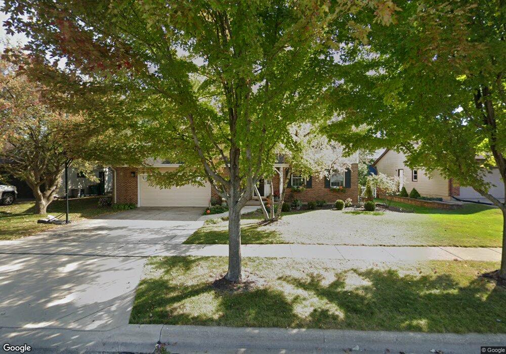
910 Krpan Dr Sycamore, IL 60178
Estimated Value: $259,000 - $348,000
3
Beds
3
Baths
1,068
Sq Ft
$288/Sq Ft
Est. Value
About This Home
This home is located at 910 Krpan Dr, Sycamore, IL 60178 and is currently estimated at $307,191, approximately $287 per square foot. 910 Krpan Dr is a home located in DeKalb County with nearby schools including Sycamore High School, St Mary's Catholic School, and Cornerstone Christian Academy.
Ownership History
Date
Name
Owned For
Owner Type
Purchase Details
Closed on
May 13, 2005
Sold by
Chicago Title Land Tr Co
Bought by
Nelson Michael D and Nelson Mary E
Current Estimated Value
Home Financials for this Owner
Home Financials are based on the most recent Mortgage that was taken out on this home.
Original Mortgage
$175,000
Interest Rate
5.68%
Mortgage Type
New Conventional
Purchase Details
Closed on
Jan 26, 2005
Sold by
Malandra Joseph A
Bought by
Chicago Title Land Tr Co
Create a Home Valuation Report for This Property
The Home Valuation Report is an in-depth analysis detailing your home's value as well as a comparison with similar homes in the area
Home Values in the Area
Average Home Value in this Area
Purchase History
| Date | Buyer | Sale Price | Title Company |
|---|---|---|---|
| Nelson Michael D | $232,000 | -- | |
| Chicago Title Land Tr Co | $232,000 | -- |
Source: Public Records
Mortgage History
| Date | Status | Borrower | Loan Amount |
|---|---|---|---|
| Previous Owner | Nelson Michael D | $175,000 |
Source: Public Records
Tax History
| Year | Tax Paid | Tax Assessment Tax Assessment Total Assessment is a certain percentage of the fair market value that is determined by local assessors to be the total taxable value of land and additions on the property. | Land | Improvement |
|---|---|---|---|---|
| 2024 | $7,323 | $94,060 | $17,466 | $76,594 |
| 2023 | $7,293 | $87,997 | $16,340 | $71,657 |
| 2022 | $7,293 | $83,983 | $15,595 | $68,388 |
| 2021 | $7,043 | $79,961 | $14,848 | $65,113 |
| 2020 | $6,895 | $77,467 | $14,385 | $63,082 |
| 2019 | $6,637 | $74,216 | $13,781 | $60,435 |
| 2018 | $6,359 | $70,187 | $13,033 | $57,154 |
| 2017 | $6,142 | $66,820 | $12,408 | $54,412 |
| 2016 | $5,892 | $62,801 | $11,662 | $51,139 |
| 2015 | -- | $58,973 | $10,951 | $48,022 |
| 2014 | -- | $56,759 | $10,540 | $46,219 |
| 2013 | -- | $58,817 | $10,922 | $47,895 |
Source: Public Records
Map
Nearby Homes
- 809 Constance Ln
- 1208 Foxpointe Dr
- 1235 Hathaway Dr
- 1119 Yorkshire Dr N
- 1242 Bristol Dr W
- Lot 13 Thornwood Dr
- 835 Albert Ave
- 822 Dekalb Ave
- 732 Park Ave
- 674 S Peace Rd Unit 674
- 1247 Daniel Ct
- 1729 Cedarbrook Ct Unit 13
- 1755 Brock Cir
- Lots 1 & 2 Dekalb Ave
- 906 Somonauk St
- 1804 Raintree Ct Unit 42
- 1506 Kennicott Ct Unit 632
- Lot 31 Aster Rd
- Lot 4 W Prairie Dr
- 734 Anjali Ct Unit L
Your Personal Tour Guide
Ask me questions while you tour the home.