910 Lakewood Rd Denison, TX 75020
Estimated Value: $468,000 - $580,720
4
Beds
3
Baths
2,852
Sq Ft
$181/Sq Ft
Est. Value
About This Home
This home is located at 910 Lakewood Rd, Denison, TX 75020 and is currently estimated at $514,930, approximately $180 per square foot. 910 Lakewood Rd is a home located in Grayson County with nearby schools including Percy W. Neblett Elementary School, Dillingham Intermediate School, and Piner Middle School.
Ownership History
Date
Name
Owned For
Owner Type
Purchase Details
Closed on
May 11, 2017
Sold by
Longo Starla Bell
Bought by
Reeves Richard R and Reeves Shelley M
Current Estimated Value
Home Financials for this Owner
Home Financials are based on the most recent Mortgage that was taken out on this home.
Original Mortgage
$217,765
Outstanding Balance
$181,297
Interest Rate
4.14%
Mortgage Type
New Conventional
Estimated Equity
$333,633
Purchase Details
Closed on
Mar 16, 2015
Sold by
Longo Thomas L
Bought by
Longo Starla Bell
Purchase Details
Closed on
May 24, 2013
Sold by
The First National Bank Of Bells Savoy
Bought by
Longo Tom L and Longo Starla B
Home Financials for this Owner
Home Financials are based on the most recent Mortgage that was taken out on this home.
Original Mortgage
$124,208
Interest Rate
6%
Mortgage Type
Adjustable Rate Mortgage/ARM
Create a Home Valuation Report for This Property
The Home Valuation Report is an in-depth analysis detailing your home's value as well as a comparison with similar homes in the area
Home Values in the Area
Average Home Value in this Area
Purchase History
| Date | Buyer | Sale Price | Title Company |
|---|---|---|---|
| Reeves Richard R | -- | Red River Title Co | |
| Longo Starla Bell | -- | None Available | |
| Longo Tom L | -- | Chapin Title Co Inc |
Source: Public Records
Mortgage History
| Date | Status | Borrower | Loan Amount |
|---|---|---|---|
| Open | Reeves Richard R | $217,765 | |
| Previous Owner | Longo Tom L | $124,208 |
Source: Public Records
Tax History Compared to Growth
Tax History
| Year | Tax Paid | Tax Assessment Tax Assessment Total Assessment is a certain percentage of the fair market value that is determined by local assessors to be the total taxable value of land and additions on the property. | Land | Improvement |
|---|---|---|---|---|
| 2025 | $4,616 | $403,813 | -- | -- |
| 2024 | $6,200 | $367,103 | $0 | $0 |
| 2023 | $4,062 | $333,730 | $0 | $0 |
| 2022 | $5,697 | $303,391 | $0 | $0 |
| 2021 | $5,577 | $374,701 | $79,863 | $294,838 |
| 2020 | $5,367 | $259,931 | $72,175 | $187,756 |
| 2019 | $5,182 | $227,942 | $32,469 | $195,473 |
| 2018 | $4,408 | $211,159 | $32,469 | $178,690 |
| 2017 | $3,969 | $188,877 | $32,469 | $156,408 |
| 2016 | $3,972 | $189,029 | $32,469 | $156,560 |
| 2015 | $3,388 | $185,494 | $32,469 | $153,025 |
| 2014 | $3,136 | $147,980 | $32,469 | $115,511 |
Source: Public Records
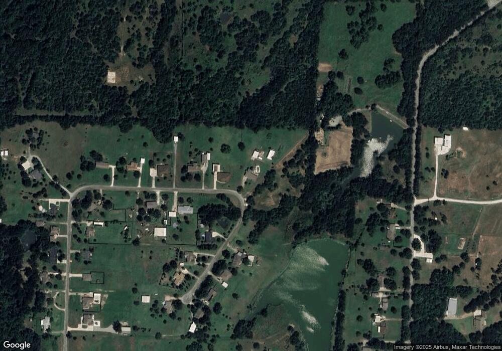
Map
Nearby Homes
- 1035 Lakewood Rd
- 538 Lakewood Rd
- 4 Fawn Hollow Trail
- 443 Lakewood Rd
- 137 White Dove Trail
- 565 Oasis Dr
- 181 Edgewood Terrace
- 2828 Preston Rd
- 292 Pecan Orchard Rd
- 000 Davy Ln
- 141 River Hills Dr
- 1 River Hills Dr
- 000 Grayson Dr
- Plan Dorchester at Gateway Village - The Reserve: 50ft. lots
- Plan Denton at Gateway Village - The Reserve: 50ft. lots
- Plan Lincoln at Gateway Village - The Reserve: 45ft. lots
- Plan Aston at Gateway Village - The Reserve: 45ft. lots
- Plan McLaren at Gateway Village - The Reserve: 45ft. lots
- Plan Maybach at Gateway Village - The Reserve: 45ft. lots
- Plan Cambridge at Gateway Village - The Reserve: 50ft. lots
- 908 Lakewood Rd
- 860 Lakewood Rd
- 981 Lakewood Rd
- 829 Lakewood Rd
- 984 Lakewood Rd
- 800 Lakewood Rd
- 1575 Preston Rd
- 1003 Lakewood Rd
- 1022 Lakewood Rd
- 801 Lakewood Rd
- 776 Lakewood Rd
- 1058 Lakewood Rd
- TBD Lakewood Rd
- 001 Lakewood Rd
- 918 Lakewood Rd
- 1453 Preston Rd
- 1429 Preston Rd
- 746 Lakewood Rd
- 1072 Lakewood Rd
- 1067 Lakewood Rd