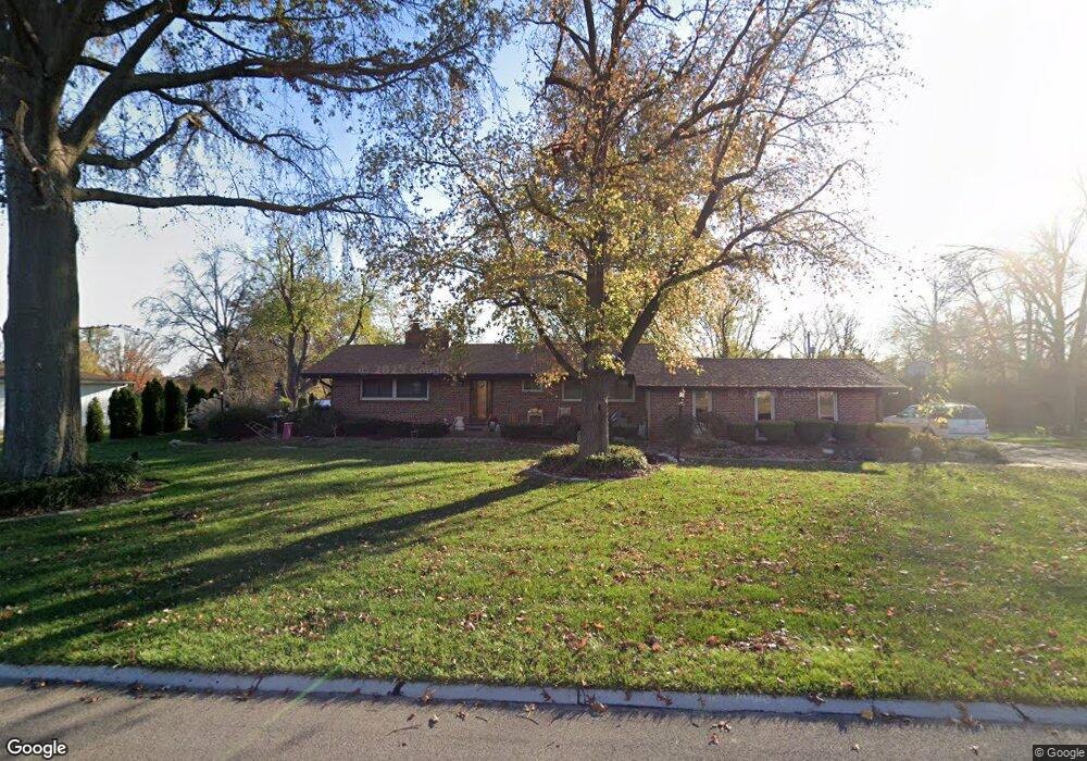
910 Lynton Dr Saint Louis, MO 63129
Mehlville NeighborhoodEstimated Value: $261,772 - $306,000
3
Beds
2
Baths
1,152
Sq Ft
$245/Sq Ft
Est. Value
About This Home
This home is located at 910 Lynton Dr, Saint Louis, MO 63129 and is currently estimated at $282,193, approximately $244 per square foot. 910 Lynton Dr is a home located in St. Louis County with nearby schools including Blades Elementary School, Bernard Middle School, and Oakville Senior High School.
Ownership History
Date
Name
Owned For
Owner Type
Purchase Details
Closed on
Apr 20, 1998
Sold by
Ellen Bailey and Ellen Mary
Bought by
Chiesa Anthoni
Current Estimated Value
Home Financials for this Owner
Home Financials are based on the most recent Mortgage that was taken out on this home.
Original Mortgage
$73,500
Outstanding Balance
$14,087
Interest Rate
7.21%
Estimated Equity
$268,106
Create a Home Valuation Report for This Property
The Home Valuation Report is an in-depth analysis detailing your home's value as well as a comparison with similar homes in the area
Home Values in the Area
Average Home Value in this Area
Purchase History
| Date | Buyer | Sale Price | Title Company |
|---|---|---|---|
| Chiesa Anthoni | -- | -- |
Source: Public Records
Mortgage History
| Date | Status | Borrower | Loan Amount |
|---|---|---|---|
| Open | Chiesa Anthoni | $73,500 |
Source: Public Records
Tax History
| Year | Tax Paid | Tax Assessment Tax Assessment Total Assessment is a certain percentage of the fair market value that is determined by local assessors to be the total taxable value of land and additions on the property. | Land | Improvement |
|---|---|---|---|---|
| 2025 | $2,678 | $47,450 | $28,790 | $18,660 |
| 2024 | $2,678 | $39,750 | $12,770 | $26,980 |
| 2023 | $2,644 | $39,750 | $12,770 | $26,980 |
| 2022 | $2,362 | $35,650 | $12,770 | $22,880 |
| 2021 | $2,286 | $35,650 | $12,770 | $22,880 |
| 2020 | $2,137 | $31,670 | $11,990 | $19,680 |
| 2019 | $2,130 | $31,670 | $11,990 | $19,680 |
| 2018 | $2,083 | $27,950 | $9,960 | $17,990 |
| 2017 | $2,080 | $27,950 | $9,960 | $17,990 |
| 2016 | $2,192 | $28,280 | $9,960 | $18,320 |
Source: Public Records
Map
Nearby Homes
- 846 Ricewood Dr
- 1 Berview Cir Unit B
- 19 Berview Cir Unit H
- 19 Berview Cir Unit B
- 1031 Forder Square Dr
- 1045 Mersey Bend Dr Unit F
- 851 Poplar Dr
- 4360 Humber Cir Unit 6
- 793 Forder Manor Dr
- 1042 Humber Cir Unit 16C
- 686 Damascus Dr
- 4351 Chateau de Ville Dr Unit C
- 4351 Chateau de Ville Dr Unit D
- 4347 Chateau de Ville Dr Unit G
- 4353 Chateau de Ville Dr Unit B
- 4392 Chateau de Ville Dr Unit A
- 4307 Forder Place Unit G
- 4315 Forder Place Unit D
- 807 Victory Dr
- 2956 Chevron Dr
Your Personal Tour Guide
Ask me questions while you tour the home.