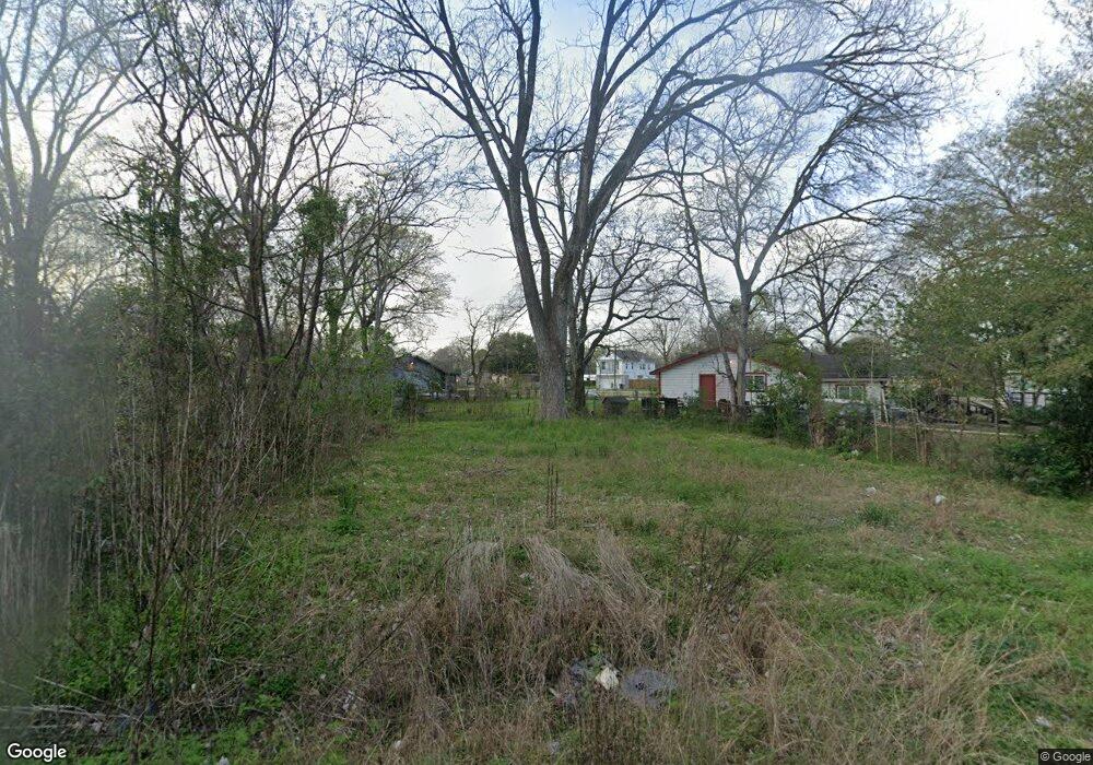
910 Marjorie St Houston, TX 77088
Acres Homes NeighborhoodEstimated Value: $67,000 - $232,000
--
Bed
--
Bath
--
Sq Ft
3,920
Sq Ft Lot
About This Home
This home is located at 910 Marjorie St, Houston, TX 77088 and is currently estimated at $125,667. 910 Marjorie St is a home located in Harris County with nearby schools including Osborne Elementary School, Williams Middle, and Booker T Washington Sr High.
Ownership History
Date
Name
Owned For
Owner Type
Purchase Details
Closed on
Sep 5, 2024
Sold by
Depriest Land Ventures Llc
Bought by
Maybrook Investments
Current Estimated Value
Purchase Details
Closed on
Sep 27, 2021
Sold by
Gail Duncan Brenda
Bought by
Depriest Land Ventures Llc
Purchase Details
Closed on
May 15, 2008
Sold by
Fleming James W
Bought by
Duncan Brenda Gail and Duncan Donald Wayne
Purchase Details
Closed on
Oct 11, 2007
Sold by
Fleming James W
Bought by
County Of Harris
Create a Home Valuation Report for This Property
The Home Valuation Report is an in-depth analysis detailing your home's value as well as a comparison with similar homes in the area
Home Values in the Area
Average Home Value in this Area
Purchase History
| Date | Buyer | Sale Price | Title Company |
|---|---|---|---|
| Maybrook Investments | -- | None Listed On Document | |
| Depriest Land Ventures Llc | -- | Patriot Title | |
| Duncan Brenda Gail | $2,263 | None Available | |
| County Of Harris | -- | None Available |
Source: Public Records
Tax History Compared to Growth
Tax History
| Year | Tax Paid | Tax Assessment Tax Assessment Total Assessment is a certain percentage of the fair market value that is determined by local assessors to be the total taxable value of land and additions on the property. | Land | Improvement |
|---|---|---|---|---|
| 2025 | $910 | $59,926 | $59,926 | -- |
| 2024 | $910 | $43,482 | $43,482 | -- |
| 2023 | $910 | $59,926 | $59,926 | $0 |
| 2022 | $1,030 | $46,771 | $46,771 | $0 |
| 2021 | $715 | $30,694 | $30,694 | $0 |
| 2020 | $637 | $26,309 | $26,309 | $0 |
| 2019 | $592 | $23,386 | $23,386 | $0 |
| 2018 | $333 | $13,154 | $13,154 | $0 |
| 2017 | $222 | $8,770 | $8,770 | $0 |
| 2016 | $222 | $8,770 | $8,770 | $0 |
| 2015 | $225 | $8,770 | $8,770 | $0 |
| 2014 | $225 | $8,770 | $8,770 | $0 |
Source: Public Records
Map
Nearby Homes
- 1053 Marjorie St
- 1050 Marjorie St
- 1052 Marjorie St
- 1061 South Ln
- 0 Prairie View Dr
- 0 St Clair Unit 40573378
- 932 S Lane Unit A-B Houston
- 990 Marjorie St
- 1093 Junell St
- 1030 Reverend b j Lewis Dr
- 991 Reverend b j Lewis Dr
- 7217 Wheatley St
- 8114 Double Unit C/D
- 8114 Double Unit A/B
- 8609 Wheatley St
- 959 Ringold St
- 7805 Wheatley St
- 957 Ringold St
- 955 Ringold St
- 953 Ringold St
- LOT 277 Marjorie St
- LOT 239 Marjorie St
- LOT 276 Marjorie St
- 1010,1012 Marjorie St
- 0000 Marjorie St
- 997,999 Marjorie St
- 1029 Marjorie St
- 1032 Marjorie St
- 1028 Marjorie St
- 1034 Marjorie St
- 1041 Marjorie St
- 1026 Marjorie St
- 1025 Marjorie St
- 1021 Marjorie St
- 1018 Marjorie St
- 1045 Marjorie St
- 1029 South Ln
- 1017 Marjorie St
- 1046 Marjorie St Unit B
- 1046 Marjorie St Unit C