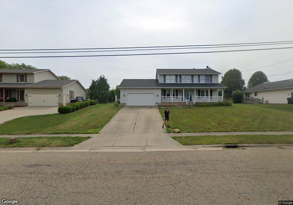
910 Meese Rd NE Louisville, OH 44641
Estimated Value: $686,000
3
Beds
3
Baths
4,152
Sq Ft
$165/Sq Ft
Est. Value
About This Home
This home is located at 910 Meese Rd NE, Louisville, OH 44641 and is currently priced at $686,000, approximately $165 per square foot. 910 Meese Rd NE is a home located in Stark County with nearby schools including Louisville High School.
Ownership History
Date
Name
Owned For
Owner Type
Purchase Details
Closed on
Nov 24, 2020
Sold by
Falk John M and Falk Frances P
Bought by
Chambers Emily C and Chambers Kirk C
Current Estimated Value
Home Financials for this Owner
Home Financials are based on the most recent Mortgage that was taken out on this home.
Original Mortgage
$421,700
Interest Rate
2.8%
Mortgage Type
Stand Alone Refi Refinance Of Original Loan
Create a Home Valuation Report for This Property
The Home Valuation Report is an in-depth analysis detailing your home's value as well as a comparison with similar homes in the area
Home Values in the Area
Average Home Value in this Area
Purchase History
| Date | Buyer | Sale Price | Title Company |
|---|---|---|---|
| Chambers Emily C | $643,000 | None Available |
Source: Public Records
Mortgage History
| Date | Status | Borrower | Loan Amount |
|---|---|---|---|
| Closed | Chambers Emily C | $421,700 |
Source: Public Records
Tax History Compared to Growth
Tax History
| Year | Tax Paid | Tax Assessment Tax Assessment Total Assessment is a certain percentage of the fair market value that is determined by local assessors to be the total taxable value of land and additions on the property. | Land | Improvement |
|---|---|---|---|---|
| 2021 | $6,482 | $149,700 | $33,500 | $116,200 |
| 2020 | $5,814 | $145,640 | $32,620 | $113,020 |
| 2019 | $5,839 | $145,670 | $32,630 | $113,040 |
| 2018 | $5,818 | $145,670 | $32,630 | $113,040 |
| 2017 | $5,483 | $132,370 | $31,930 | $100,440 |
| 2016 | $1,596 | $132,370 | $31,930 | $100,440 |
| 2015 | $5,612 | $132,370 | $31,930 | $100,440 |
| 2014 | $588 | $100,990 | $13,580 | $87,410 |
| 2013 | $2,299 | $100,990 | $13,580 | $87,410 |
Source: Public Records
Map
Nearby Homes
- 2110 Edmar St
- 1812 E Broad St
- 1715 High St
- 2015 E Main St
- 3390 Meese Rd NE
- 641 S Nickelplate St
- 0 Michigan Blvd
- 308 Superior St
- 520 S Silver St
- 728 E Broad St
- 908 Sand Lot Cir
- 1170 Winding Ridge Ave
- 510 S Bauman Ct
- 8225 Georgetown St
- 204 E Broad St
- 325 Lincoln Ave
- 107 E Broad St
- 5495 Meese Rd NE
- 910 Crosswyck Cir
- 1702 View Pointe Ave
- 910 Meese Rd NE
- 814 Meese Rd NE
- 4234 Meese Rd NE
- 814 Meese Rd
- 822 Meese Rd
- 808 Meese Rd
- 832 Meese Rd
- 1000 Meese Rd NE
- 904 Meese Rd
- 1122 Meese Rd
- 909 Meese Rd
- 2215 Briarwood St
- 2212 Briarwood St
- 4221 Meese Rd
- 930 Meese Rd NE
- 4272 Meese Rd NE
- 4272 Meese Rd NE
- 4221 Meese Rd NE
- 4201 Meese Rd
- 4255 Meese Rd