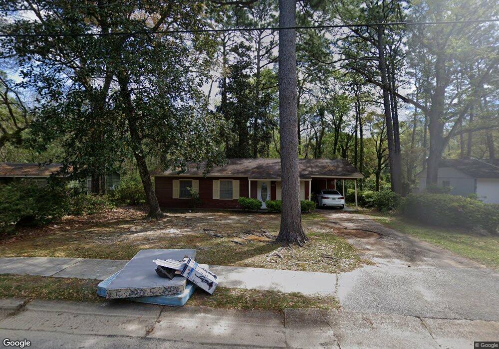
910 Memory Ln Mobile, AL 36608
Parkhill NeighborhoodEstimated Value: $117,074 - $155,000
Studio
1
Bath
1,053
Sq Ft
$124/Sq Ft
Est. Value
About This Home
This home is located at 910 Memory Ln, Mobile, AL 36608 and is currently estimated at $130,769, approximately $124 per square foot. 910 Memory Ln is a home located in Mobile County with nearby schools including John Will Elementary School, CL Scarborough Middle School, and Mattie T Blount High School.
Ownership History
Date
Name
Owned For
Owner Type
Purchase Details
Closed on
Jul 15, 2004
Sold by
N & S Properties Inc
Bought by
Moore Tamara S
Current Estimated Value
Home Financials for this Owner
Home Financials are based on the most recent Mortgage that was taken out on this home.
Original Mortgage
$50,500
Interest Rate
6.24%
Mortgage Type
Unknown
Purchase Details
Closed on
Aug 17, 2000
Sold by
Garnett Leslie P
Bought by
N & S Properties Inc
Home Financials for this Owner
Home Financials are based on the most recent Mortgage that was taken out on this home.
Original Mortgage
$40,000
Interest Rate
8.17%
Create a Home Valuation Report for This Property
The Home Valuation Report is an in-depth analysis detailing your home's value as well as a comparison with similar homes in the area
Home Values in the Area
Average Home Value in this Area
Purchase History
| Date | Buyer | Sale Price | Title Company |
|---|---|---|---|
| Moore Tamara S | -- | -- | |
| N & S Properties Inc | -- | -- |
Source: Public Records
Mortgage History
| Date | Status | Borrower | Loan Amount |
|---|---|---|---|
| Closed | Moore Tamara S | $50,500 | |
| Previous Owner | N & S Properties Inc | $40,000 |
Source: Public Records
Tax History
| Year | Tax Paid | Tax Assessment Tax Assessment Total Assessment is a certain percentage of the fair market value that is determined by local assessors to be the total taxable value of land and additions on the property. | Land | Improvement |
|---|---|---|---|---|
| 2025 | $399 | $7,180 | $1,300 | $5,880 |
| 2024 | $399 | $6,950 | $1,300 | $5,650 |
| 2023 | $385 | $6,360 | $1,250 | $5,110 |
| 2022 | $308 | $5,890 | $1,250 | $4,640 |
| 2021 | $308 | $5,890 | $1,250 | $4,640 |
| 2020 | $308 | $5,890 | $1,250 | $4,640 |
| 2019 | $289 | $5,580 | $1,250 | $4,330 |
| 2018 | $289 | $5,600 | $0 | $0 |
| 2017 | $336 | $6,340 | $0 | $0 |
| 2016 | $338 | $6,380 | $0 | $0 |
| 2013 | $348 | $6,480 | $0 | $0 |
Source: Public Records
Map
Nearby Homes
- 0 N University Blvd Unit 21441346
- 814 Nassau Dr
- 1004 Heidi St
- 1204 Baylor Dr
- 5762 Zeigler Blvd
- 1401 Forest Ridge Rd E
- 1409 Forest Dale Dr
- 5415 Overlook Rd
- 5855 Zeigler Blvd
- 5512 Overlook Rd
- 4924 Brooke Ct
- 5055 Overlook Rd
- 5462 Racine Ave
- 5859 Chalet Dr N
- 1313 Innsbruck Dr
- 5964 Montfort Rd S
- 5001 Spring Park Dr S
- 1008 Chalet Dr W
- 860 Montfort Rd W
- 1600 Decatur St
- 912 Memory Ln
- 908 Memory Ln
- 906 Memory Ln
- 914 Memory Ln
- 907 Memory Ln
- 904 Memory Ln
- 905 Memory Ln
- 911 Memory Ln
- 916 Memory Ln
- 903 Memory Ln
- 915 Memory Ln
- 902 Memory Ln
- 5311 David Langan Dr S
- 918 Memory Ln
- 906 Kensington Dr
- 904 Kensington Dr
- 901 David Langan Dr W
- 917 Memory Ln
- 908 Kensington Dr
- 901 Memory Ln
Your Personal Tour Guide
Ask me questions while you tour the home.