910 Moulton Rd Louisburg, NC 27549
Estimated Value: $233,000 - $321,887
1
Bed
2
Baths
900
Sq Ft
$323/Sq Ft
Est. Value
About This Home
This home is located at 910 Moulton Rd, Louisburg, NC 27549 and is currently estimated at $290,472, approximately $322 per square foot. 910 Moulton Rd is a home with nearby schools including Louisburg Elementary School, Terrell Lane Middle School, and Louisburg High School.
Ownership History
Date
Name
Owned For
Owner Type
Purchase Details
Closed on
Dec 17, 2019
Sold by
Hunt Kenneth M and Hunt Robbie G
Bought by
Hunt Kenneth M and Hunt Robbie G
Current Estimated Value
Purchase Details
Closed on
Feb 6, 2014
Sold by
Edwards Roger G and Edwards Sandra F
Bought by
Hunt Kenneth M and Hunt Robbie G
Purchase Details
Closed on
Jul 31, 2013
Sold by
Tillman Linda Allgood and Tillman Lawrence
Bought by
Hunt Kenneth M and Hunt Robbie B
Purchase Details
Closed on
Nov 7, 2000
Bought by
Allgood Linda R
Create a Home Valuation Report for This Property
The Home Valuation Report is an in-depth analysis detailing your home's value as well as a comparison with similar homes in the area
Home Values in the Area
Average Home Value in this Area
Purchase History
| Date | Buyer | Sale Price | Title Company |
|---|---|---|---|
| Hunt Kenneth M | -- | None Available | |
| Hunt Kenneth M | $1,000 | None Available | |
| Hunt Kenneth M | $25,000 | None Available | |
| Allgood Linda R | $35,000 | -- |
Source: Public Records
Tax History Compared to Growth
Tax History
| Year | Tax Paid | Tax Assessment Tax Assessment Total Assessment is a certain percentage of the fair market value that is determined by local assessors to be the total taxable value of land and additions on the property. | Land | Improvement |
|---|---|---|---|---|
| 2025 | $1,701 | $264,080 | $88,560 | $175,520 |
| 2024 | $1,544 | $237,940 | $88,560 | $149,380 |
| 2023 | $793 | $77,440 | $29,510 | $47,930 |
| 2022 | $329 | $25,913 | $12,323 | $13,590 |
| 2021 | $331 | $25,913 | $12,323 | $13,590 |
| 2020 | $330 | $25,913 | $12,323 | $13,590 |
| 2019 | $315 | $25,393 | $11,803 | $13,590 |
| 2018 | $311 | $25,393 | $11,803 | $13,590 |
| 2017 | $378 | $30,525 | $10,725 | $19,800 |
| 2016 | $389 | $30,525 | $10,725 | $19,800 |
| 2015 | $388 | $30,525 | $10,725 | $19,800 |
| 2014 | $339 | $29,775 | $9,975 | $19,800 |
Source: Public Records
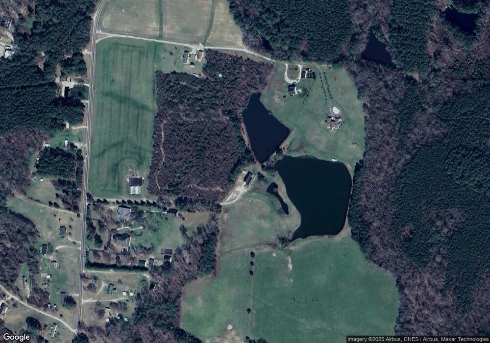
Map
Nearby Homes
- 0 Zinnia Ct Unit 10129898
- 06 Tillery Dr
- 08 Tillery Dr
- 376 T K Allen Rd
- 11 Tillery Dr
- 09 Tillery Dr
- 592 Perdues Rd
- 4224 Us 401 Hwy N
- 0 Beasley Rd Unit 10130664
- 76 Sutton Rd
- 35 Jonesville Ln
- 0 Breedlove Rd Unit 10076336
- 642 Breedlove Rd
- 0 Sutton Rd
- 70 Acres Sutton Rd
- 307 Wilson-Fuller Rd
- 109 Drew St
- 2329 N Carolina 561
- 615 Woodland Trail
- 45 Leisure Ln
- 1032 Moulton Rd
- 1028 Moulton Rd
- 908 Moulton Rd
- 0 Moulton Rd
- 864 Moulton Rd
- 867 Moulton Rd
- 49 Malcolm Neal Path
- 822 Moulton Rd
- 64 Pine Forest Way
- 62 Pine Forest Way
- 50 Pine Forest Way
- 56 Pine Forest Way
- 220 Pine Forest Loop
- 15 Crimson Rock Ln
- 1119 Moulton Rd
- 1119 Moulton Rd
- 206 Pine Forest Loop
- 202 Pine Forest Loop
- 192 Pine Forest Loop
- 186 Pine Forest Loop