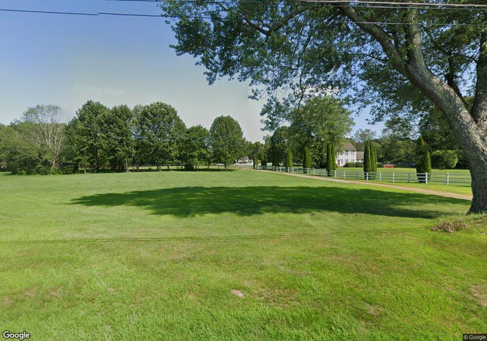
910 Pomfret Rd Hampton, CT 06247
Estimated Value: $438,000 - $550,342
3
Beds
3
Baths
2,332
Sq Ft
$212/Sq Ft
Est. Value
About This Home
This home is located at 910 Pomfret Rd, Hampton, CT 06247 and is currently estimated at $495,086, approximately $212 per square foot. 910 Pomfret Rd is a home located in Windham County with nearby schools including Hampton Elementary School and Parish Hill High School.
Ownership History
Date
Name
Owned For
Owner Type
Purchase Details
Closed on
Aug 9, 2001
Sold by
Bellavance John A
Bought by
Hutchins Thayne D and Hutchins Angela
Current Estimated Value
Purchase Details
Closed on
Sep 12, 2000
Sold by
Hutchins Thayne D and Hutchins Angela
Bought by
Bellavance John A
Purchase Details
Closed on
Mar 7, 2000
Sold by
Hampton Ests Llc
Bought by
Hutchins Thayre D and Hutchins Angela
Create a Home Valuation Report for This Property
The Home Valuation Report is an in-depth analysis detailing your home's value as well as a comparison with similar homes in the area
Home Values in the Area
Average Home Value in this Area
Purchase History
| Date | Buyer | Sale Price | Title Company |
|---|---|---|---|
| Hutchins Thayne D | $45,272 | -- | |
| Hutchins Thayne D | $45,272 | -- | |
| Bellavance John A | $40,000 | -- | |
| Hutchins Thayre D | $35,000 | -- |
Source: Public Records
Mortgage History
| Date | Status | Borrower | Loan Amount |
|---|---|---|---|
| Open | Hutchins Thayre D | $123,000 | |
| Closed | Hutchins Thayre D | $60,000 | |
| Closed | Hutchins Thayre D | $165,000 |
Source: Public Records
Tax History
| Year | Tax Paid | Tax Assessment Tax Assessment Total Assessment is a certain percentage of the fair market value that is determined by local assessors to be the total taxable value of land and additions on the property. | Land | Improvement |
|---|---|---|---|---|
| 2025 | $5,949 | $276,970 | $50,110 | $226,860 |
| 2024 | $5,769 | $276,970 | $50,110 | $226,860 |
| 2023 | $4,693 | $193,590 | $44,810 | $148,780 |
| 2022 | $4,354 | $193,590 | $44,810 | $148,780 |
| 2021 | $4,602 | $193,590 | $44,810 | $148,780 |
| 2020 | $4,937 | $193,590 | $44,810 | $148,780 |
| 2019 | $4,998 | $193,590 | $44,810 | $148,780 |
| 2018 | $5,555 | $194,910 | $38,240 | $156,670 |
| 2017 | $5,555 | $194,910 | $38,240 | $156,670 |
| 2016 | $5,555 | $194,910 | $38,240 | $156,670 |
| 2015 | $5,947 | $194,910 | $38,240 | $156,670 |
| 2014 | $5,795 | $194,910 | $38,240 | $156,670 |
Source: Public Records
Map
Nearby Homes
- 127 Windy Hill Rd
- 933 Hampton Rd
- 338 Brooklyn Rd
- 338 Main St
- 204 Paine Rd
- 297 Main St
- 180 Jericho Rd
- 834 Hampton Rd
- 198 Main St
- 815 Mashamoquet Rd
- 00 Mashamoquet Rd
- 137 Windham Rd
- 366 Hartford Turnpike
- 106 Tripp Hollow Rd
- 3 Pomfret Rd
- 43 Tatnic Hill Rd
- 31 Mason Hill Rd
- 97 Blossom Dr
- 94 Hartford Rd
- 385 Hampton Rd
Your Personal Tour Guide
Ask me questions while you tour the home.