910 Prentiss Rd Baxley, GA 31513
Estimated Value: $150,000 - $217,000
--
Bed
1
Bath
1,346
Sq Ft
$129/Sq Ft
Est. Value
About This Home
This home is located at 910 Prentiss Rd, Baxley, GA 31513 and is currently estimated at $173,024, approximately $128 per square foot. 910 Prentiss Rd is a home located in Appling County with nearby schools including Appling Christian Academy.
Ownership History
Date
Name
Owned For
Owner Type
Purchase Details
Closed on
Mar 28, 2022
Sold by
Jones Bobby H
Bought by
Black Jacie Briann and Edge Cole Turner
Current Estimated Value
Home Financials for this Owner
Home Financials are based on the most recent Mortgage that was taken out on this home.
Original Mortgage
$116,500
Outstanding Balance
$109,007
Interest Rate
3.89%
Mortgage Type
New Conventional
Estimated Equity
$64,017
Purchase Details
Closed on
Oct 8, 2006
Sold by
Jones Bobby
Bought by
Cleland Mike D and Cleland Malzie O
Purchase Details
Closed on
May 18, 2001
Bought by
Jones Bobby H
Create a Home Valuation Report for This Property
The Home Valuation Report is an in-depth analysis detailing your home's value as well as a comparison with similar homes in the area
Home Values in the Area
Average Home Value in this Area
Purchase History
| Date | Buyer | Sale Price | Title Company |
|---|---|---|---|
| Black Jacie Briann | $122,632 | -- | |
| Cleland Mike D | -- | -- | |
| Jones Bobby H | -- | -- |
Source: Public Records
Mortgage History
| Date | Status | Borrower | Loan Amount |
|---|---|---|---|
| Open | Black Jacie Briann | $116,500 |
Source: Public Records
Tax History Compared to Growth
Tax History
| Year | Tax Paid | Tax Assessment Tax Assessment Total Assessment is a certain percentage of the fair market value that is determined by local assessors to be the total taxable value of land and additions on the property. | Land | Improvement |
|---|---|---|---|---|
| 2024 | $1,061 | $43,200 | $5,640 | $37,560 |
| 2023 | $1,061 | $43,205 | $5,645 | $37,560 |
| 2022 | $1,094 | $29,700 | $4,032 | $25,668 |
| 2021 | $767 | $29,700 | $4,032 | $25,668 |
| 2020 | $796 | $29,700 | $4,032 | $25,668 |
| 2019 | $812 | $29,700 | $4,032 | $25,668 |
| 2018 | $827 | $29,700 | $4,032 | $25,668 |
| 2017 | $827 | $29,700 | $4,032 | $25,668 |
| 2016 | $827 | $29,700 | $4,032 | $25,668 |
| 2015 | $828 | $29,700 | $4,032 | $25,668 |
| 2014 | $830 | $29,700 | $4,032 | $25,668 |
| 2013 | -- | $28,505 | $2,837 | $25,668 |
Source: Public Records
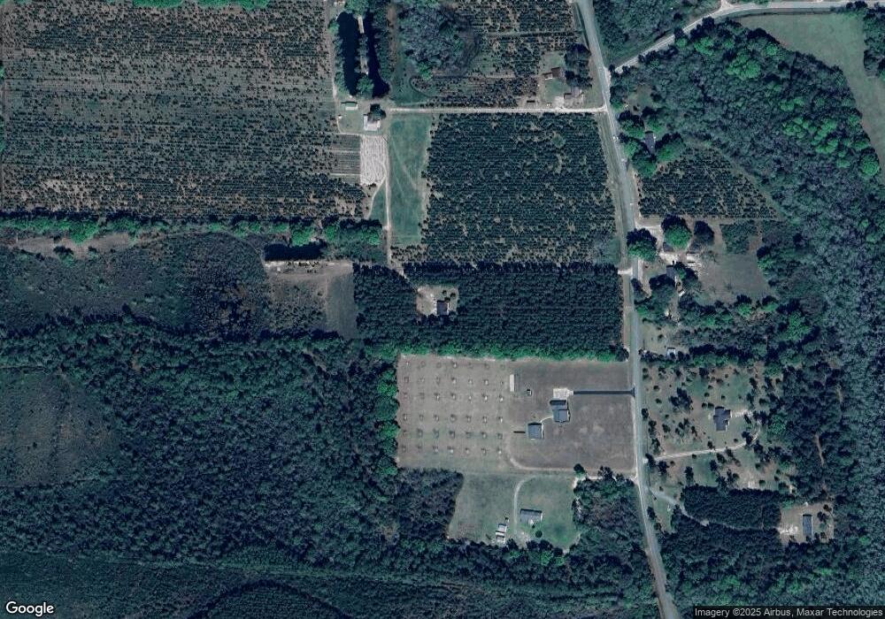
Map
Nearby Homes
- 2251 Zoar Rd
- 00000 Golden Isle W
- 83 Gabriel Ln
- 655 Beach Rd
- 464 W Parker St
- 30 S McCrorie St
- 144 Yardley Ave
- 155 Peach Ln
- 260 Central St
- 1038 Hatch Pkwy N
- 298 S Main St
- 66 Weaver St
- 65 Fleming Dr
- 0 U S Route 1
- 0 W Parker St
- 0 W Parker St Unit 10547390
- 0 W Parker St Unit 22975
- 0 Hwy 341 Unit 23738
- 0 Hwy 341 Unit 10628717
- 0 Warrick Ln
- 992 Prentiss Rd
- 865 Prentiss Rd
- 797 Prentiss Rd
- 897 Prentiss Rd
- 756 Prentiss Rd
- 756 Prentiss Rd
- 1033 Prentiss Rd
- 21 Quincy Ln
- 49 Quincy Ln
- 230 Claxton Rd
- 1192 Prentiss Rd
- 136 Claxton Rd
- 678 Cleland Ln
- 100 Friendship Church Rd
- 622 Cleland Ln
- 157 Claxton Rd
- 517 Cleland Ln
- 112 Quincy Ln
- 530 Cleland Ln
- 322 Claxton Rd