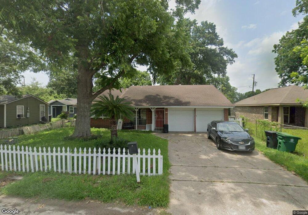
910 Ringold St Houston, TX 77088
Acres Homes NeighborhoodEstimated Value: $179,565 - $218,000
3
Beds
2
Baths
1,519
Sq Ft
$133/Sq Ft
Est. Value
About This Home
This home is located at 910 Ringold St, Houston, TX 77088 and is currently estimated at $201,891, approximately $132 per square foot. 910 Ringold St is a home located in Harris County with nearby schools including Osborne Elementary School, Williams Middle, and Booker T Washington Sr High.
Ownership History
Date
Name
Owned For
Owner Type
Purchase Details
Closed on
Apr 17, 2020
Sold by
Livingston Annie Mae
Bought by
Gatson Dedrek
Current Estimated Value
Home Financials for this Owner
Home Financials are based on the most recent Mortgage that was taken out on this home.
Original Mortgage
$82,163
Outstanding Balance
$74,362
Interest Rate
4.62%
Mortgage Type
FHA
Estimated Equity
$127,529
Create a Home Valuation Report for This Property
The Home Valuation Report is an in-depth analysis detailing your home's value as well as a comparison with similar homes in the area
Home Values in the Area
Average Home Value in this Area
Purchase History
| Date | Buyer | Sale Price | Title Company |
|---|---|---|---|
| Gatson Dedrek | -- | None Available |
Source: Public Records
Mortgage History
| Date | Status | Borrower | Loan Amount |
|---|---|---|---|
| Open | Gatson Dedrek | $82,163 |
Source: Public Records
Tax History
| Year | Tax Paid | Tax Assessment Tax Assessment Total Assessment is a certain percentage of the fair market value that is determined by local assessors to be the total taxable value of land and additions on the property. | Land | Improvement |
|---|---|---|---|---|
| 2025 | $1,825 | $168,172 | $75,953 | $92,219 |
| 2024 | $1,825 | $160,602 | $75,953 | $84,649 |
| 2023 | $1,825 | $162,392 | $75,953 | $86,439 |
| 2022 | $3,470 | $157,602 | $59,280 | $98,322 |
| 2021 | $3,137 | $134,583 | $38,903 | $95,680 |
| 2020 | $3,038 | $125,466 | $33,345 | $92,121 |
| 2019 | $2,955 | $123,626 | $29,640 | $93,986 |
| 2018 | $0 | $107,439 | $17,145 | $90,294 |
| 2017 | $2,440 | $96,513 | $11,430 | $85,083 |
| 2016 | $2,294 | $96,513 | $11,430 | $85,083 |
| 2015 | -- | $82,474 | $11,430 | $71,044 |
| 2014 | -- | $82,474 | $11,430 | $71,044 |
Source: Public Records
Map
Nearby Homes
- 906 Fortune St
- 911 Fortune St
- 882 Fortune St
- 978 Saint Clair St
- 954 Junell St Unit A
- 956 Junell Unit A
- 884 Prosper St
- 955 Ringold St
- 882 Prosper St
- 957 Ringold St
- 8314 Williamsdell St Unit A/B
- 8310 Williamsdell St
- 0 Fortune St
- 851 Prosper St
- 839 Fortune St
- 1035 Junell St
- 934 South Ln
- 8404 De Priest St
- 813 Fortune St
- 887 Lucky St
- 910 Ringold St
- 916 Ringold St
- 947 Saint Clair St
- 951 Saint Clair St
- 937 Saint Clair St
- 935 Saint Clair St
- 934 Ringold St
- 908 Ringold St
- 938 Ringold St
- 959 Saint Clair St
- 921 Ringold St
- 913 Ringold St
- 904 Ringold St
- 948 Saint Clair St
- 909 Ringold St
- 952 Saint Clair St
- 907 Ringold St
- 942 Ringold St
- 940 Saint Clair St
- 915 Saint Clair St
Your Personal Tour Guide
Ask me questions while you tour the home.