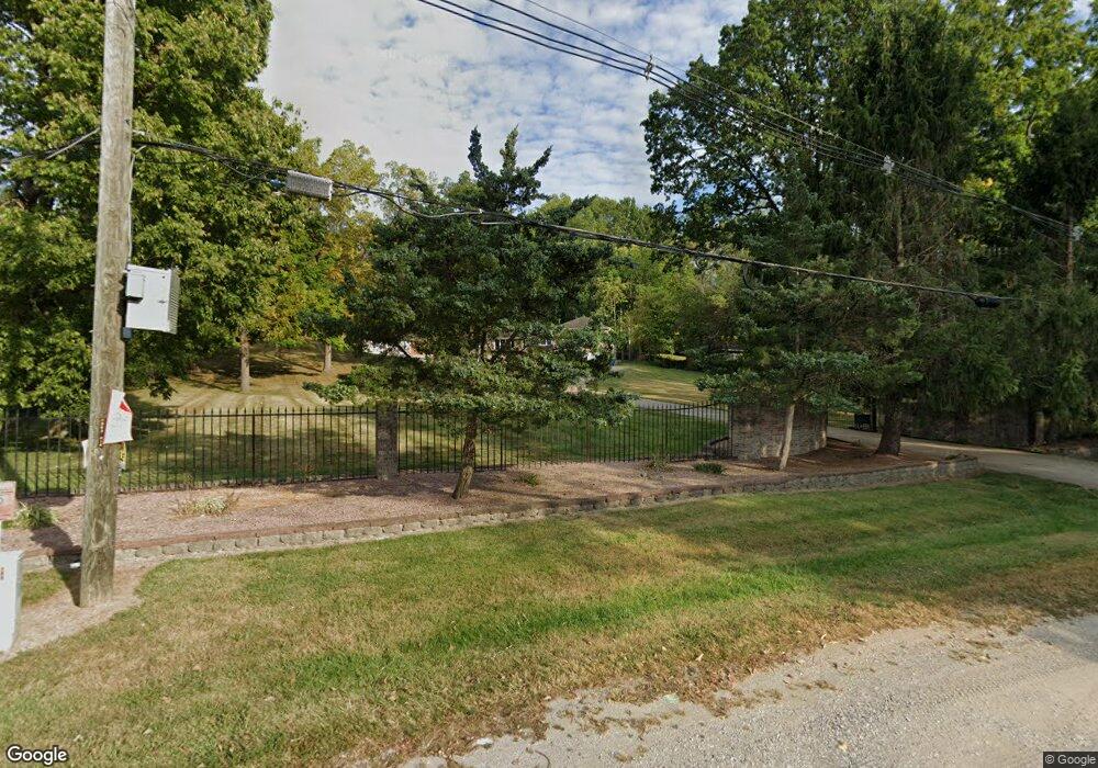
910 S Fruitridge Ave Terre Haute, IN 47803
Estimated Value: $48,000 - $84,697
3
Beds
1
Bath
1,080
Sq Ft
$60/Sq Ft
Est. Value
About This Home
This home is located at 910 S Fruitridge Ave, Terre Haute, IN 47803 and is currently estimated at $64,424, approximately $59 per square foot. 910 S Fruitridge Ave is a home located in Vigo County with nearby schools including Adelaide DeVaney Elementary School, Woodrow Wilson Middle School, and Terre Haute North Vigo High School.
Ownership History
Date
Name
Owned For
Owner Type
Purchase Details
Closed on
Feb 4, 2022
Sold by
Holly Wuestefeld N and Holly K
Bought by
Casie Keller Revocable Living Trust
Current Estimated Value
Purchase Details
Closed on
Mar 16, 2007
Sold by
Dungan Teresa R
Bought by
Wuestefeld Holly
Home Financials for this Owner
Home Financials are based on the most recent Mortgage that was taken out on this home.
Original Mortgage
$45,000
Interest Rate
6.27%
Mortgage Type
New Conventional
Create a Home Valuation Report for This Property
The Home Valuation Report is an in-depth analysis detailing your home's value as well as a comparison with similar homes in the area
Home Values in the Area
Average Home Value in this Area
Purchase History
| Date | Buyer | Sale Price | Title Company |
|---|---|---|---|
| Casie Keller Revocable Living Trust | $42,000 | Integrity Title Services | |
| Wuestefeld Holly | -- | None Available |
Source: Public Records
Mortgage History
| Date | Status | Borrower | Loan Amount |
|---|---|---|---|
| Previous Owner | Wuestefeld Holly | $45,000 |
Source: Public Records
Tax History Compared to Growth
Tax History
| Year | Tax Paid | Tax Assessment Tax Assessment Total Assessment is a certain percentage of the fair market value that is determined by local assessors to be the total taxable value of land and additions on the property. | Land | Improvement |
|---|---|---|---|---|
| 2024 | $919 | $67,000 | $5,600 | $61,400 |
| 2023 | $1,384 | $64,000 | $5,600 | $58,400 |
| 2022 | $644 | $29,800 | $2,800 | $27,000 |
| 2021 | $644 | $29,800 | $3,100 | $26,700 |
| 2020 | $644 | $29,800 | $3,100 | $26,700 |
| 2019 | $643 | $29,800 | $3,100 | $26,700 |
| 2018 | $777 | $25,900 | $2,600 | $23,300 |
| 2017 | $508 | $25,400 | $2,600 | $22,800 |
| 2016 | $514 | $25,700 | $2,700 | $23,000 |
| 2014 | $500 | $25,000 | $2,500 | $22,500 |
| 2013 | $500 | $24,000 | $4,100 | $19,900 |
Source: Public Records
Map
Nearby Homes
- 3890 S Anderson Dr
- 3886 S Anderson Dr
- 3868 S Anderson Dr
- 3850 Anderson Dr S
- 3846 Anderson Dr S
- 3869 N Anderson Dr
- 3828 Anderson Dr S
- 3824 Anderson Dr S
- 3788 Anderson Dr N
- 16 Heritage Dr
- 85 Heritage Dr
- 544 Keane Ln
- 6214 Woodhill Ln
- 6208 Woodhill Ln
- 6232 Woodhill Ln
- 6240 Woodhill Ln
- 2529 Birchwood Ln
- 2517 Birchwood Ln
- 2530 Birchwood Ln
- 2557 Birchwood Ln
- 910 S Fruitridge Ave
- 930 S Fruitridge Ave
- 940 S Fruitridge Ave
- 1000 S Fruitridge Ave
- 25 Bogart Dr
- 5 Bogart Dr
- 15 Bogart Dr
- 20 Nitsche Dr
- 10 Nitsche Dr
- 510 Parkview Rd
- 520 Parkview Rd
- 3905 Poplar St
- 35 Bogart Dr
- 530 Parkview Rd
- 3929 S Anderson Dr
- 20 Bogart Dr
- 3925 S Anderson Dr
- 15 Hamilton Dr
- 49 Bogart Dr