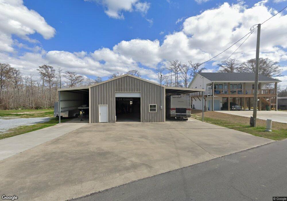
910 S Perkins Ferry Rd Lake Charles, LA 70611
Moss Bluff NeighborhoodEstimated Value: $318,423 - $568,000
--
Bed
--
Bath
--
Sq Ft
1,786
Sq Ft Lot
About This Home
This home is located at 910 S Perkins Ferry Rd, Lake Charles, LA 70611 and is currently estimated at $427,606. 910 S Perkins Ferry Rd is a home with nearby schools including Moss Bluff Elementary School, Moss Bluff Middle School, and Sam Houston High School.
Ownership History
Date
Name
Owned For
Owner Type
Purchase Details
Closed on
Dec 20, 2013
Sold by
Hebert Valerie Paige
Bought by
Emerson Vincent Lemar and Vincent Jacinda Angela
Current Estimated Value
Home Financials for this Owner
Home Financials are based on the most recent Mortgage that was taken out on this home.
Original Mortgage
$40,000
Outstanding Balance
$29,897
Interest Rate
4.21%
Mortgage Type
Unknown
Estimated Equity
$397,709
Create a Home Valuation Report for This Property
The Home Valuation Report is an in-depth analysis detailing your home's value as well as a comparison with similar homes in the area
Home Values in the Area
Average Home Value in this Area
Purchase History
| Date | Buyer | Sale Price | Title Company |
|---|---|---|---|
| Emerson Vincent Lemar | $65,000 | None Available |
Source: Public Records
Mortgage History
| Date | Status | Borrower | Loan Amount |
|---|---|---|---|
| Open | Emerson Vincent Lemar | $40,000 |
Source: Public Records
Tax History Compared to Growth
Tax History
| Year | Tax Paid | Tax Assessment Tax Assessment Total Assessment is a certain percentage of the fair market value that is determined by local assessors to be the total taxable value of land and additions on the property. | Land | Improvement |
|---|---|---|---|---|
| 2024 | $2,308 | $28,970 | $3,390 | $25,580 |
| 2023 | $2,308 | $28,970 | $3,390 | $25,580 |
| 2022 | $2,269 | $28,970 | $3,390 | $25,580 |
| 2021 | $2,381 | $28,970 | $3,390 | $25,580 |
| 2020 | $2,860 | $26,270 | $3,250 | $23,020 |
| 2019 | $3,138 | $28,720 | $3,140 | $25,580 |
| 2018 | $2,323 | $28,720 | $3,140 | $25,580 |
| 2017 | $3,187 | $28,720 | $3,140 | $25,580 |
| 2016 | $3,140 | $28,720 | $3,140 | $25,580 |
| 2015 | $351 | $3,140 | $3,140 | $0 |
Source: Public Records
Map
Nearby Homes
- 700 S Perkins Ferry Rd
- 0 Niel Rd Unit SWL23002840
- 1258 S Perkins Ferry Rd
- 1545 S Perkins Ferry Rd
- 1567 S Perkins Ferry Rd
- 1131 Baker Rd
- 369 Ann Terrace Ave
- 0 Charlotte Ave Unit SWL25001918
- 141 Cureton Rd
- 2725 Smith Ferry Rd
- 0 Fletcher Rd
- 570 Ann Terrace Ave
- 3425 Davis Rd
- 3124 Davis Rd
- 0 Sam Houston Jones Pkwy Unit SWL22006961
- 0 Sam Houston Jones Pkwy Unit 145953
- 202 Phillips Rd
- 0 Jones Rd
- 0 Davis Rd
- 1910 Reisling Dr
- 923 S Perkins Ferry Rd
- 904 S Perkins Ferry Rd
- 950 S Perkins Ferry Rd
- 959 S Perkins Ferry Rd
- 886 S Perkins Ferry Rd
- 1009 S Perkins Ferry Rd
- 1009 S Perkins Ferry Rd
- 856 S Perkins Ferry Rd
- 1010 S Perkins Ferry Rd
- 1023 S Perkins Ferry Rd
- 828 S Perkins Ferry Rd
- 3501 Smith Ferry Rd
- 1040 S Perkins Ferry Rd
- 3405 Smith Ferry Rd
- 794 S Perkins Ferry Rd
- 1068 S Perkins Ferry Rd
- 3500 Smith Ferry Rd
- 3504 Smith Ferry Rd
- 1080 S Perkins Ferry Rd
- 734 S Perkins Ferry Rd