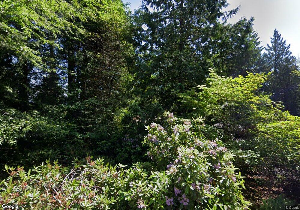
910 Spring Ln Centralia, WA 98531
Estimated Value: $484,370 - $558,000
1
Bed
2
Baths
1,944
Sq Ft
$266/Sq Ft
Est. Value
About This Home
This home is located at 910 Spring Ln, Centralia, WA 98531 and is currently estimated at $517,593, approximately $266 per square foot. 910 Spring Ln is a home located in Lewis County with nearby schools including Centralia Middle School, Centralia High School, and Evergreen Academy of Arts & Sciences.
Ownership History
Date
Name
Owned For
Owner Type
Purchase Details
Closed on
Jun 30, 2009
Sold by
Durgin Kevin J and Durgin Gail D
Bought by
Sund David and Wildhaber Jennifer
Current Estimated Value
Home Financials for this Owner
Home Financials are based on the most recent Mortgage that was taken out on this home.
Original Mortgage
$215,600
Outstanding Balance
$137,534
Interest Rate
4.87%
Mortgage Type
New Conventional
Estimated Equity
$380,059
Create a Home Valuation Report for This Property
The Home Valuation Report is an in-depth analysis detailing your home's value as well as a comparison with similar homes in the area
Home Values in the Area
Average Home Value in this Area
Purchase History
| Date | Buyer | Sale Price | Title Company |
|---|---|---|---|
| Sund David | $269,500 | Title Guaranty |
Source: Public Records
Mortgage History
| Date | Status | Borrower | Loan Amount |
|---|---|---|---|
| Open | Sund David | $215,600 |
Source: Public Records
Tax History Compared to Growth
Tax History
| Year | Tax Paid | Tax Assessment Tax Assessment Total Assessment is a certain percentage of the fair market value that is determined by local assessors to be the total taxable value of land and additions on the property. | Land | Improvement |
|---|---|---|---|---|
| 2024 | $3,010 | $458,900 | $132,000 | $326,900 |
| 2023 | $3,658 | $445,100 | $132,000 | $313,100 |
| 2022 | $3,279 | $331,300 | $54,000 | $277,300 |
| 2021 | $2,632 | $331,300 | $54,000 | $277,300 |
| 2020 | $3,179 | $296,300 | $54,000 | $242,300 |
| 2019 | $2,708 | $282,500 | $51,400 | $231,100 |
| 2018 | $2,729 | $231,100 | $41,800 | $189,300 |
| 2017 | $2,174 | $204,400 | $41,800 | $162,600 |
| 2016 | $1,980 | $215,100 | $44,000 | $171,100 |
| 2015 | $2,244 | $193,000 | $67,300 | $125,700 |
| 2013 | $2,244 | $193,500 | $67,300 | $126,200 |
Source: Public Records
Map
Nearby Homes
- 2808 Colonial Dr
- 920 Barbara Ln
- 1000 Barbara Ln
- 1218 Scammon Creek Rd
- 312 Blanchard Rd
- 2200 Cooks Hill Rd
- 823 Landing Way
- 34 xx Graf Rd
- 2322 Rosewood Ln
- 0 Eloah Way
- 615 Oakland Ave
- 405 Bryden Ave
- 807 Wayne Dr
- 3420 Prill Rd
- 0 Merry Glee Ln
- 3108 Borst Ave
- 3110 Borst Ave
- 119 River Heights Rd
- 1746 Military Rd
- 1107 Eshom Rd
- 904 Spring Ln
- 905 Spring Ln
- 1004 Spring Ln
- 811 Swanson Dr
- 912 Swanson Dr
- 904 Sunrise Ln
- 916 Swanson Dr
- 1004 Swanson Dr
- 824 Sunrise Ln
- 207 E B Browning Dr
- 1008 Swanson Dr
- 204 Alcott Dr
- 200 Alcott Dr Unit 1-A
- 200 Alcott Dr
- 907 Swanson Dr
- 807 Swanson Dr
- 1001 Swanson Dr
- 1011 Spring Ln
- 114 Carl Sandburg Dr
- 3120 Cooks Hill Rd
