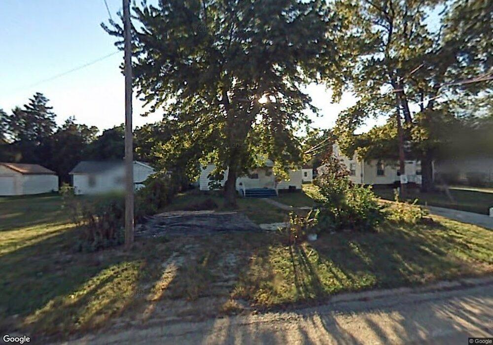
910 Springfield Rd East Peoria, IL 61611
Estimated Value: $147,000 - $157,000
4
Beds
1
Bath
1,442
Sq Ft
$106/Sq Ft
Est. Value
About This Home
This home is located at 910 Springfield Rd, East Peoria, IL 61611 and is currently estimated at $153,157, approximately $106 per square foot. 910 Springfield Rd is a home located in Tazewell County with nearby schools including Don D. Shute Elementary School, Lincoln Elementary School, and Central Junior High School.
Ownership History
Date
Name
Owned For
Owner Type
Purchase Details
Closed on
Sep 25, 2023
Sold by
Taylor Michael A
Bought by
Taylor Lisa M and Taylor Suzan M
Current Estimated Value
Purchase Details
Closed on
Aug 24, 2009
Sold by
Taylor Michael A
Bought by
Taylor Lisa M and Taylor Michael A
Purchase Details
Closed on
Mar 6, 2008
Sold by
Muller Alvin S and Muller Phyllis H
Bought by
Taylor Michael A
Home Financials for this Owner
Home Financials are based on the most recent Mortgage that was taken out on this home.
Original Mortgage
$56,000
Interest Rate
5.51%
Mortgage Type
Purchase Money Mortgage
Create a Home Valuation Report for This Property
The Home Valuation Report is an in-depth analysis detailing your home's value as well as a comparison with similar homes in the area
Home Values in the Area
Average Home Value in this Area
Purchase History
| Date | Buyer | Sale Price | Title Company |
|---|---|---|---|
| Taylor Lisa M | -- | None Listed On Document | |
| Taylor Lisa M | -- | None Available | |
| Taylor Michael A | $95,000 | First Community Title Svcs |
Source: Public Records
Mortgage History
| Date | Status | Borrower | Loan Amount |
|---|---|---|---|
| Previous Owner | Taylor Michael A | $56,000 |
Source: Public Records
Tax History
| Year | Tax Paid | Tax Assessment Tax Assessment Total Assessment is a certain percentage of the fair market value that is determined by local assessors to be the total taxable value of land and additions on the property. | Land | Improvement |
|---|---|---|---|---|
| 2025 | $2,937 | $41,060 | $8,460 | $32,600 |
| 2024 | $2,791 | $38,000 | $7,830 | $30,170 |
| 2023 | $2,791 | $34,890 | $7,190 | $27,700 |
| 2022 | $2,610 | $32,270 | $6,650 | $25,620 |
| 2021 | $2,481 | $31,020 | $6,390 | $24,630 |
| 2020 | $2,426 | $31,020 | $6,390 | $24,630 |
| 2019 | $2,409 | $31,020 | $6,390 | $24,630 |
| 2018 | $2,342 | $31,020 | $6,390 | $24,630 |
| 2017 | $2,318 | $31,020 | $6,390 | $24,630 |
| 2016 | $2,303 | $31,190 | $5,980 | $25,210 |
| 2015 | $2,173 | $0 | $0 | $0 |
| 2013 | $2,187 | $30,210 | $5,790 | $24,420 |
Source: Public Records
Map
Nearby Homes
- 913 Springfield Rd
- 112 Summer Cir
- 1320 Springfield Rd
- 400 Pekin Ave
- 225 Grandview Ave
- 713 Pekin Ave
- 224 Grandview Ave
- 126 Highland St
- 116 Gottlieb Ct
- 328 Randolph St
- 123 Holland Ct
- 165 Shadoway Dr
- 120 Gerber Ct
- 593 Roosevelt St
- 443 Rusche St
- 584 Roosevelt St
- 210 Bergman Ave
- 105 Kaylea Ct
- 207 Arnold Ave
- 106 Stonewood Dr
- 908 1/2 Springfield Rd
- 808 Springfield Rd
- 906 Springfield Rd
- 908 Springfield Rd
- 902 Springfield Rd
- 810 Springfield Rd
- 912 Springfield Rd
- 904 Springfield Rd
- 1000 Springfield Rd
- 916 & 1000 Springfield Dr
- 916 & 1000 Springfield Rd
- 916 Springfield Rd Unit 1000
- 914 Springfield Rd
- 1002 Springfield Rd
- 806 Springfield Rd
- 900 Springfield Rd
- 1004 Springfield Rd
- 907 Springfield Rd
- 816 Springfield Rd
- 903 Springfield Rd
Your Personal Tour Guide
Ask me questions while you tour the home.