910 Thorsheim St Kodiak, AK 99615
Estimated Value: $311,990 - $395,000
3
Beds
2
Baths
1,152
Sq Ft
$302/Sq Ft
Est. Value
About This Home
This home is located at 910 Thorsheim St, Kodiak, AK 99615 and is currently estimated at $347,330, approximately $301 per square foot. 910 Thorsheim St is a home located in Kodiak Island Borough with nearby schools including St. Mary's School.
Ownership History
Date
Name
Owned For
Owner Type
Purchase Details
Closed on
Jun 26, 2007
Sold by
Bitbit Epitacio and Bitbit Amor
Bought by
Mendones Mary Jeane and Mendones Santiago
Current Estimated Value
Home Financials for this Owner
Home Financials are based on the most recent Mortgage that was taken out on this home.
Original Mortgage
$165,000
Outstanding Balance
$101,558
Interest Rate
6.21%
Mortgage Type
Purchase Money Mortgage
Estimated Equity
$245,772
Create a Home Valuation Report for This Property
The Home Valuation Report is an in-depth analysis detailing your home's value as well as a comparison with similar homes in the area
Home Values in the Area
Average Home Value in this Area
Purchase History
| Date | Buyer | Sale Price | Title Company |
|---|---|---|---|
| Mendones Mary Jeane | -- | None Available |
Source: Public Records
Mortgage History
| Date | Status | Borrower | Loan Amount |
|---|---|---|---|
| Open | Mendones Mary Jeane | $165,000 |
Source: Public Records
Tax History Compared to Growth
Tax History
| Year | Tax Paid | Tax Assessment Tax Assessment Total Assessment is a certain percentage of the fair market value that is determined by local assessors to be the total taxable value of land and additions on the property. | Land | Improvement |
|---|---|---|---|---|
| 2025 | $2,993 | $269,400 | $43,100 | $226,300 |
| 2024 | $2,993 | $266,000 | $43,100 | $222,900 |
| 2023 | $2,934 | $239,500 | $35,800 | $203,700 |
| 2022 | $2,602 | $204,100 | $35,800 | $168,300 |
| 2021 | $2,602 | $204,100 | $35,800 | $168,300 |
| 2020 | $2,549 | $199,900 | $35,800 | $164,100 |
| 2019 | $2,549 | $199,900 | $35,800 | $164,100 |
| 2018 | $2,549 | $199,900 | $35,800 | $164,100 |
| 2017 | $2,423 | $190,000 | $35,800 | $154,200 |
| 2016 | -- | $191,300 | $28,000 | $163,300 |
| 2015 | -- | $188,900 | $28,000 | $160,900 |
| 2014 | -- | $188,900 | $28,000 | $160,900 |
| 2013 | -- | $188,900 | $28,000 | $160,900 |
Source: Public Records
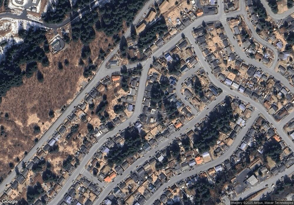
Map
Nearby Homes
- 716 Thorsheim St
- 1011 Willow St
- 515 Maple Ave
- 523 Thorsheim St
- 1216 Purtov St
- 416 Lower Mill Bay Rd
- 1310 Madsen Ave
- 321 Erskine Ave
- 821 E Tagura Rd
- 1310 Mission Rd
- 1314 Mission Rd
- 1614 Selief Ln
- 1716 Selief Ln
- 1720 E Rezanof Dr
- 1815 Chichenof St
- 110 Bancroft Dr
- 2129 Harbor Way
- 1679 Three Sisters Way
- 2156 Monashka Way
- 3043 Lakeview Dr
- 912 Thorsheim St
- 816 Thorsheim St
- 317 Pine Crescent Loop
- 1011 Pine Crescent Loop
- 914 Thorsheim St
- 317 Pine Crescent St
- 1011 Pine Crescent St
- 814 Thorsheim St
- 315 Pine Crescent St
- 1013 Pine Crescent Loop
- 813 Thorsheim St
- 911 Hemlock St
- 812 Thorsheim St
- 815 Thorsheim St
- 1013 Pine Crescent St
- 913 Hemlock St
- 819 Hemlock St
- 313 Pine Crescent Loop
- 911 Thorsheim St
- 312 Pine Crescent Loop