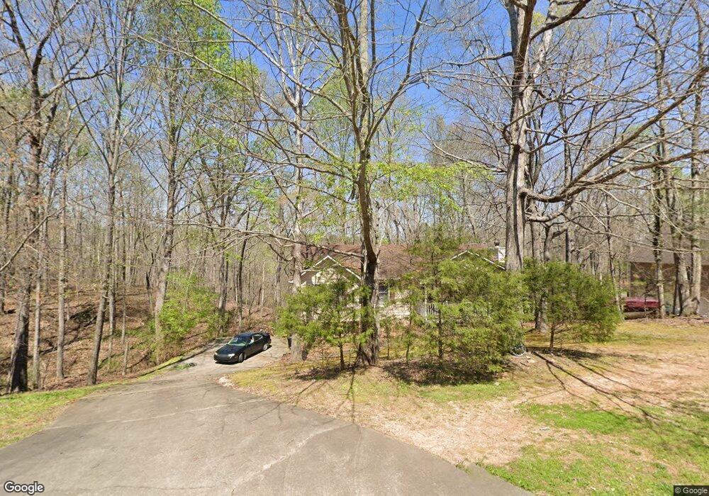
910 White Stag Ln Canton, GA 30115
Estimated Value: $341,000 - $355,644
3
Beds
2
Baths
1,326
Sq Ft
$264/Sq Ft
Est. Value
About This Home
This home is located at 910 White Stag Ln, Canton, GA 30115 and is currently estimated at $349,661, approximately $263 per square foot. 910 White Stag Ln is a home located in Cherokee County with nearby schools including Avery Elementary School, Creekland Middle School, and Creekview High School.
Ownership History
Date
Name
Owned For
Owner Type
Purchase Details
Closed on
Feb 19, 2016
Sold by
Milosovic Robert D
Bought by
Milosovic Robert D and Milosovic Virginia C
Current Estimated Value
Home Financials for this Owner
Home Financials are based on the most recent Mortgage that was taken out on this home.
Original Mortgage
$65,500
Outstanding Balance
$26,837
Interest Rate
3.1%
Mortgage Type
Commercial
Estimated Equity
$322,824
Purchase Details
Closed on
Oct 14, 1994
Sold by
Manous Billy
Bought by
Milosovic Robert
Home Financials for this Owner
Home Financials are based on the most recent Mortgage that was taken out on this home.
Original Mortgage
$81,600
Interest Rate
6.37%
Mortgage Type
Purchase Money Mortgage
Create a Home Valuation Report for This Property
The Home Valuation Report is an in-depth analysis detailing your home's value as well as a comparison with similar homes in the area
Home Values in the Area
Average Home Value in this Area
Purchase History
| Date | Buyer | Sale Price | Title Company |
|---|---|---|---|
| Milosovic Robert D | $145,000 | -- | |
| Milosovic Robert | $85,900 | -- |
Source: Public Records
Mortgage History
| Date | Status | Borrower | Loan Amount |
|---|---|---|---|
| Open | Milosovic Robert D | $65,500 | |
| Previous Owner | Milosovic Robert | $81,600 |
Source: Public Records
Tax History
| Year | Tax Paid | Tax Assessment Tax Assessment Total Assessment is a certain percentage of the fair market value that is determined by local assessors to be the total taxable value of land and additions on the property. | Land | Improvement |
|---|---|---|---|---|
| 2025 | $648 | $142,448 | $30,000 | $112,448 |
| 2024 | $627 | $133,568 | $26,000 | $107,568 |
| 2023 | $489 | $133,968 | $26,000 | $107,968 |
| 2022 | $555 | $101,204 | $24,000 | $77,204 |
| 2021 | $504 | $74,484 | $15,200 | $59,284 |
| 2020 | $493 | $71,000 | $15,200 | $55,800 |
| 2019 | $460 | $62,320 | $15,200 | $47,120 |
| 2018 | $435 | $53,600 | $11,600 | $42,000 |
| 2017 | $441 | $130,600 | $11,600 | $40,640 |
| 2016 | $449 | $127,100 | $11,600 | $39,240 |
| 2015 | $397 | $106,900 | $9,000 | $33,760 |
| 2014 | $369 | $99,400 | $8,800 | $30,960 |
Source: Public Records
Map
Nearby Homes
- 921 White Stag Ln
- 880 White Stag Ln
- 121 Harmony Oaks Trail
- 1693 Harmony Dr
- 857 Jack Page Dr
- 228 Shady Ln
- 233 Legacy Downs Dr
- 229 Legacy Downs Dr
- 4983 Cumming Hwy
- 114 Hardwood Ln
- 5895 Cumming Hwy
- 206 Eagles Nest Dr
- 214 Heritage Town Pkwy
- 217 Heritage Town Pkwy
- 612 Walker Ct
- 0 Harmony Dr Unit 7587836
- 0 Harmony Dr Unit 10468292
- 0 Harmony Dr Unit 7532369
- 122 Griffin Way
- 209 Heritage Town Pkwy
- 920 White Stag Ln
- 900 White Stag Ln
- 931 White Stag Ln
- 930 White Stag Ln
- 890 White Stag Ln
- 941 White Stag Ln
- 940 White Stag Ln
- 901 White Stag Ln
- 951 White Stag Ln
- 891 White Stag Ln
- 950 White Stag Ln
- 1541 Harmony Dr
- 961 White Stag Ln
- 870 White Stag Ln
- 881 White Stag Ln
- 0 White Stag Ln Unit 7607048
- 0 White Stag Ln Unit 7399217
- 0 White Stag Ln Unit 7000081
- 871 White Stag Ln
- 971 White Stag Ln
Your Personal Tour Guide
Ask me questions while you tour the home.